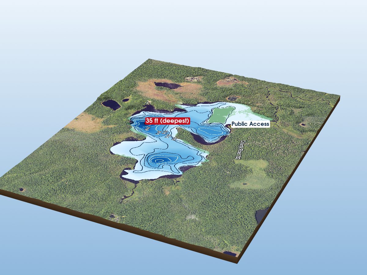
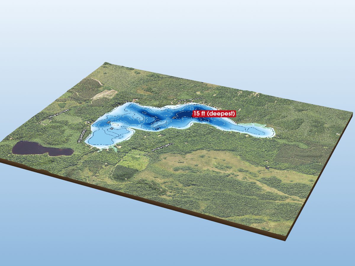
Munising Bay
depth
Get directions
Depth scale
Survey readout
Munising Bay is mapped to a depth of 88 ft on the NOAA NCEI survey and covers about 5,713 acres in Alger County, Michigan. Coverage is sparse: about 63% of this lake lies well away from any surveyed contour, so most of the shape shown there is interpolated between distant measurements rather than mapped.
Derived from NOAA NCEI Great Lakes bathymetry data.
The maximum depth and the “deepest” marker describe Munising Bay itself. The map also renders the surrounding open-lake water inside the frame. Depths in that water reach about 469 ft.
- Deepest mapped contour
- 88 ft
- Surface area
- 5,713 acres
- Public access
- Boat Launch
Additional depth details9 contours
- Contour depths
- 0–88 ft
- Recorded point soundings
- No point soundings recorded in source
Provenance
Sources: NOAA NCEI Great Lakes Bathymetry, USGS 3DEP, OpenStreetMap (ODbL), MI DNR Boat Launches, Contains modified Copernicus Sentinel data (Sentinel-2), processed by michiganlakedepths.com.
⚠ NOT FOR NAVIGATION. This is a recreational depth visualisation built from historical soundings, not a nautical chart. Use official NOAA charts (ENC/RNC) for navigation. Depths are referenced to low water datum and actual water levels vary.Spot an error? Send a correction
Map details & sources5 sources
All layers registered to one bounding box; positions in WGS 84.
Survey-derived depth contours drape over USGS 3DEP elevation, with a Copernicus Sentinel-2 satellite basemap and OpenStreetMap shoreline. Colour shows surveyed depth; dark lines are the survey's own isobaths.
- Coordinates
- 46.45000, -86.63500
- NOAA lake ID
- NOAA-GL-MUN
- Vertical exaggeration
- 8.0× below the waterline; land at true scale
- Basemap
- Copernicus Sentinel-2 · ESA, via Microsoft Planetary Computer
- Model size
- 1.9 MB
Fish you might catch
from angler catches2 species with recent evidence in this lake — sized relative to each other. Illustrations are AI-generated representative adults in everyday colours, not photographs (provenance).
 Burbot
 Cisco
CiscoFishing rules for this lake Beta
Size and daily limits for the 2 species found here — 2 open to harvest.
These are hook-and-line size, daily limit and season rules. Gear, spearing and bow fishing, spawning closures and rod limits are set by other Fisheries Orders and are not shown here.
From the 2026 Michigan Fishing Regulations digest (General Fishing Regulations table and notes) / FO-215.23A (eff. 2023-09-15) / FO-252.26 (eff. 2026-04-01) / FO-240.26 / FO-253.26 (eff. 2026-04-01, Great Lakes trout and salmon by management unit) · verified 2026-08-24. Regulations can change — Michigan DNR rules are the controlling source; verify current regulations before fishing. Official regulations
Notable catches
Master Angler program · 2020Master Angler catches recorded on this lake — too few to show a pattern, so they are listed individually.
Shipwrecks in Munising Bay 11 recorded · 5 with verified positions
Positions are published by the Michigan Underwater Preserve Council. 5 of 11 here have been verified by the state; the rest are approximate and are marked as such.
11 of these wrecks have a 3D reconstruction of the ship afloat — tap a labelled marker on the map, or the 3D preview button below. Every wreck here is marked on the map.
- ChenangoverifiedBarkentine, 3-Mast · lost 1875 · stranded · snorkel-accessible full reconstruction15 ft
- BermudaverifiedSchooner, 2-Mast · lost 1870 · foundered · snorkel-accessible · 3 lives lost full reconstruction30 ft
- Herman H. HettlerverifiedBulk Freighter · lost 1926 · stranded full reconstruction40 ft
- Steven M. SelvickverifiedTug · lost 1996 · intentional sinking full reconstruction60 ft
- Smith MooreverifiedBulk Freighter · lost 1889 · collision full reconstruction105 ft
- MarquetteapproximateSchooner, 3-mast · lost 1872 · stranded · snorkel-accessible full reconstruction5 ft
- Michael GrohapproximateSteam Barge · lost 1895 · stranded · snorkel-accessible full reconstruction12 ft
- GeorgeapproximateSchooner, 3-Mast · lost 1893 · stranded · snorkel-accessible full reconstruction15 ft
- Mary M. ScottapproximateSchooner, 2-Mast · lost 1870 · stranded · snorkel-accessible full reconstruction15 ft
- ManhattanapproximateBulk Freighter · lost 1903 · stranded and burned full reconstruction40 ft
- ElmaapproximateSchooner Barge · lost 1895 · stranded · 1 life lost full reconstruction43 ft
Treat these as graves. Lives were lost on many Great Lakes wrecks, including 2 recorded here, and human remains may still be present. Michigan’s bottomlands also hold submerged cultural sites that long predate these ships. Look, photograph, and leave everything exactly as you found it.
Removing or disturbing wreckage on Great Lakes bottomlands is a felony under Michigan Part 761, 1994 PA 451, at a fair market value of $100 or more. Positions are historical reference only — not navigation, and not dive-planning data. Wreck records are published by the Michigan Underwater Preserve Council, which publishes a guide to the Alger preserve.
Bait & tackle nearby
licensed retail bait dealers · straight-line distanceMunising Bay — common questions
How deep is Munising Bay?
The deepest contour on the NOAA NCEI bathymetric survey of Munising Bay is 88 ft. That is the deepest depth the historical survey map records, which may differ from the deepest point of the lake itself.
How big is Munising Bay?
Munising Bay covers about 5,713 acres in Alger County, Michigan.
What fish are in Munising Bay?
Species with survey, catch or recent-stocking evidence include burbot, cisco. The page shows the evidence behind each.
Is there public access to Munising Bay?
Yes. The Michigan DNR boat-launch data identifies 3 public access sites on Munising Bay, including Anna River Mouth.