Little Bay de Noc
depth
Get directions
Depth scale
Survey readout
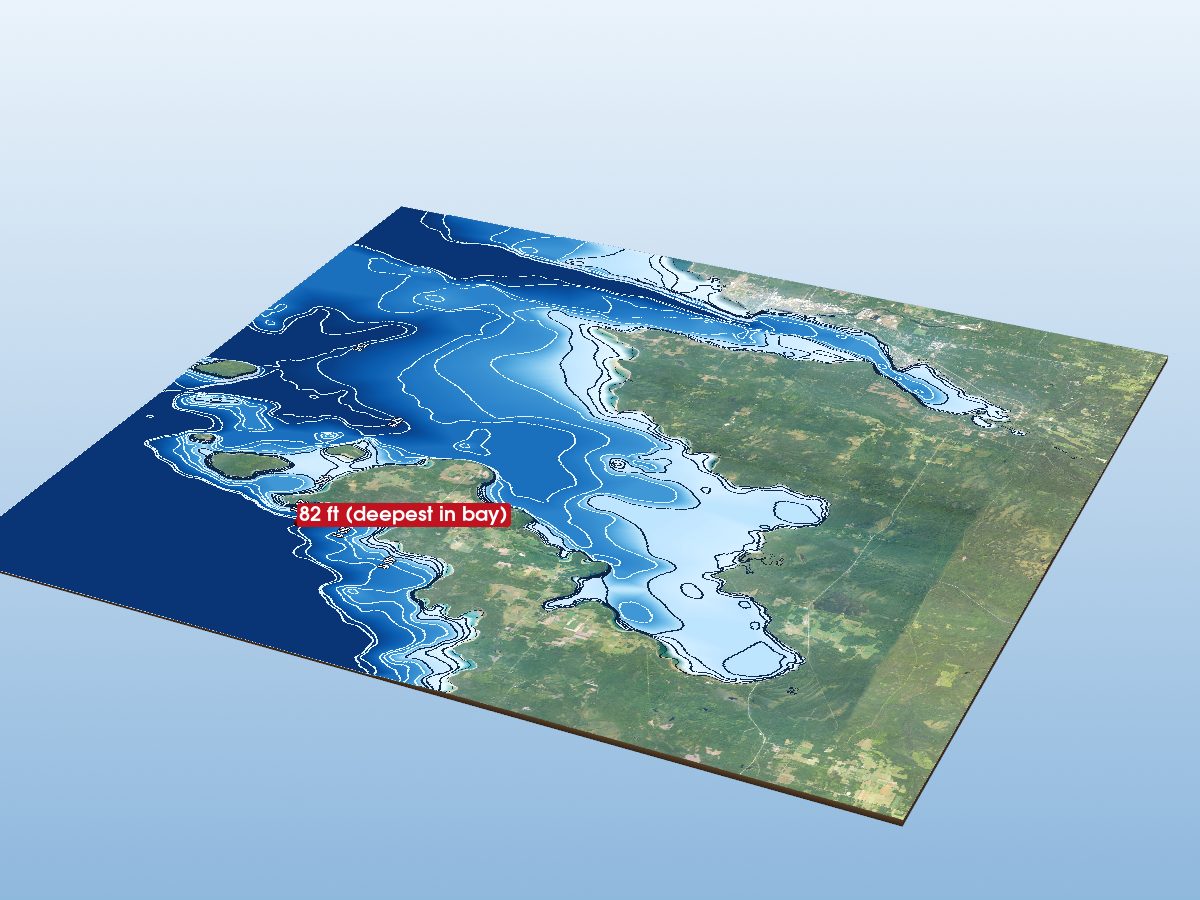
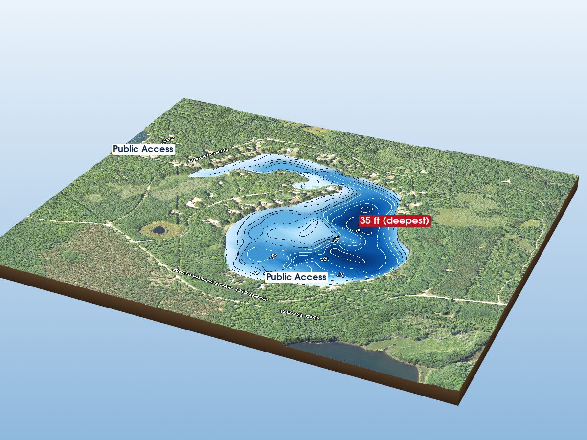
Little Bay de Noc is mapped to a depth of 96 ft on the NOAA NCEI survey and covers about 33,993 acres in Delta County, Michigan. Coverage is sparse: about 59% of this lake lies well away from any surveyed contour, so most of the shape shown there is interpolated between distant measurements rather than mapped.
Derived from NOAA NCEI Great Lakes bathymetry data.
The maximum depth and the “deepest” marker describe Little Bay de Noc itself. The map also renders the surrounding open-lake water inside the frame. Depths in that water reach about 126 ft.
- Deepest mapped contour
- 96 ft
- Surface area
- 33,993 acres
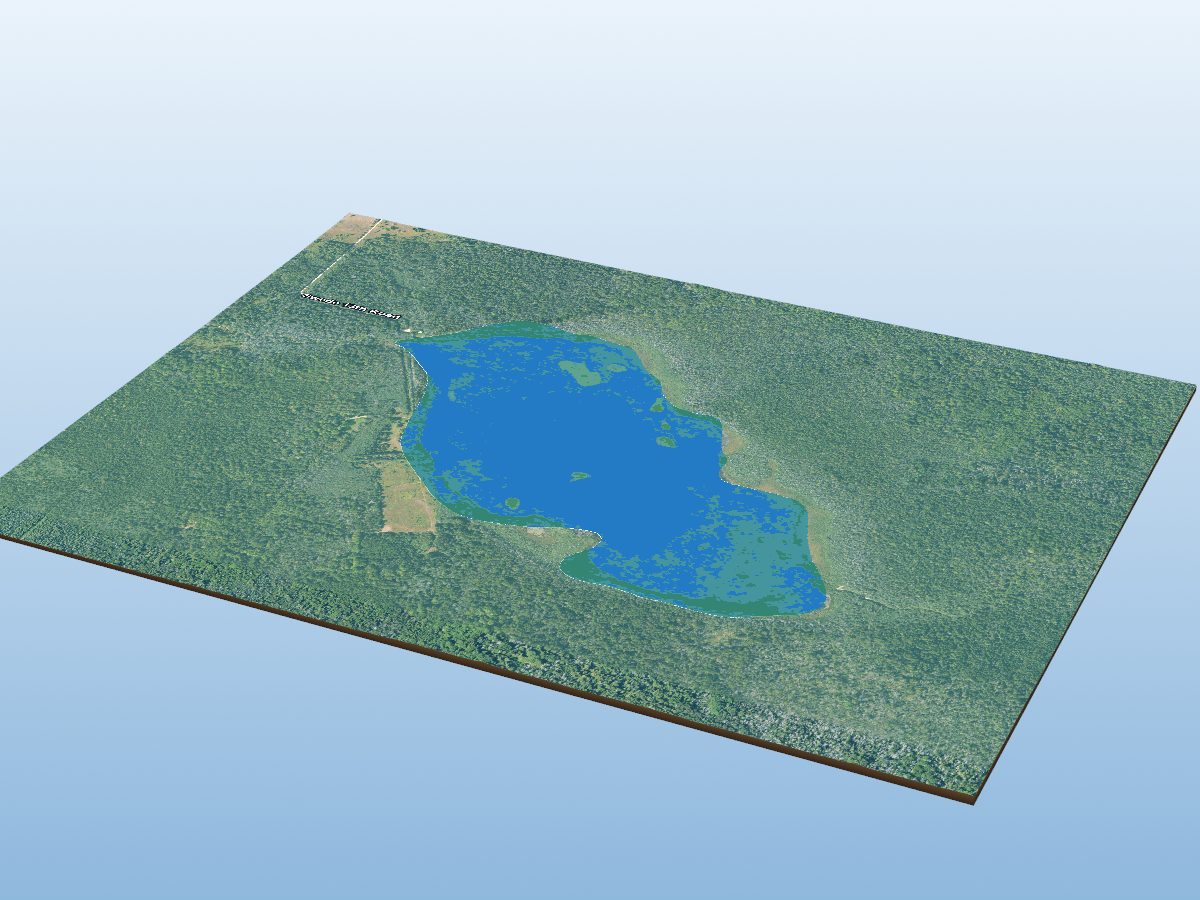
- Aquatic vegetation
- 0% of surface · NDVI estimate
- Public access
- Boat Launch
Additional depth details9 contours
- Contour depths
- 0–96 ft
- Recorded point soundings
- 96 ft
Other waters with a public launch on this map: Escanaba River, Ford River. Their launches are not marked on the model — only Little Bay de Noc’s own are.
Compare with another lakeProvenance
Sources: NOAA NCEI Great Lakes Bathymetry, USGS 3DEP, USDA NAIP (public domain), OpenStreetMap (ODbL), MI DNR Boat Launches.
⚠ NOT FOR NAVIGATION. This is a recreational depth visualisation built from historical soundings, not a nautical chart. Use official NOAA charts (ENC/RNC) for navigation. Depths are referenced to low water datum and actual water levels vary.Spot an error? Send a correction
Map details & sources5 sources
All layers registered to one bounding box; positions in WGS 84.
Survey-derived depth contours drape over USGS 3DEP elevation, with a USDA NAIP aerial basemap and OpenStreetMap shoreline. Colour shows surveyed depth; dark lines are the survey's own isobaths.
- Coordinates
- 45.80500, -87.01000
- NOAA lake ID
- NOAA-GL-LBDN
- Vertical exaggeration
- 8.0× below the waterline; land at true scale
- Basemap
- USDA NAIP · public domain
- Model size
- 2.1 MB
Fish you might catch
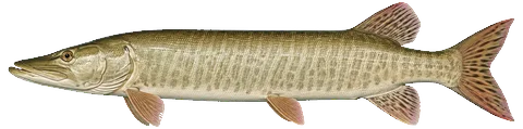
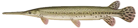
from angler catches30 species with recent evidence in this lake — sized relative to each other. Illustrations are AI-generated representative adults in everyday colours, not photographs (provenance).
 Muskellunge
 Chinook Salmon
 Flathead Catfish
 Longnose Gar
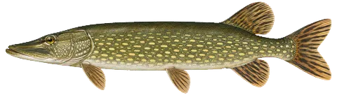 Northern Pike
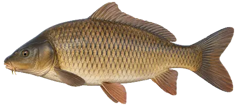 Common Carp
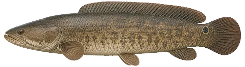 Bowfin
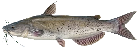 Channel Catfish
 Coho Salmon
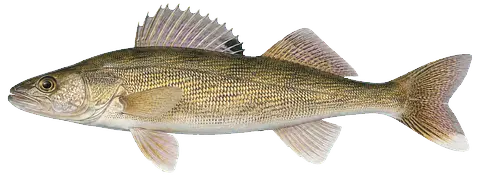 Walleye
 Burbot
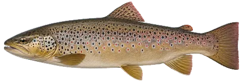 Brown Trout
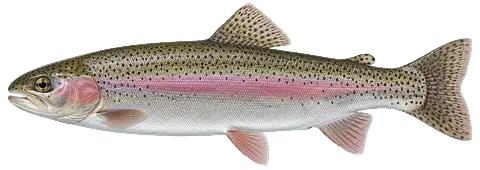 Rainbow Trout
 Redhorse Sucker
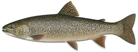 Splake
 Freshwater Drum
 Lake Whitefish
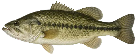 Largemouth Bass
 White Sucker
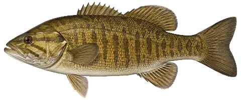 Smallmouth Bass
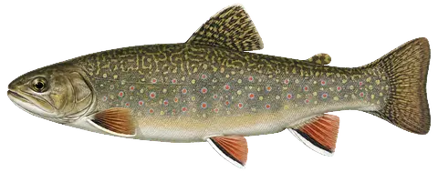 Brook Trout
 White Bass
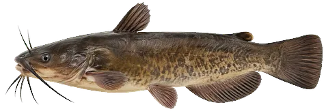 Bullhead
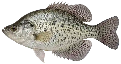 Crappie
 White Perch
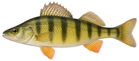 Yellow Perch
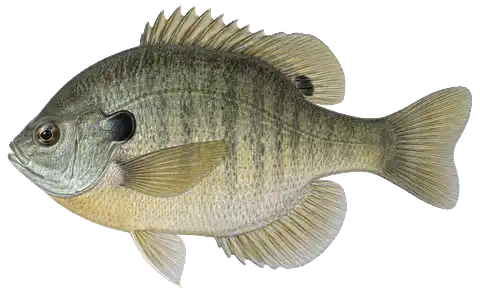 Bluegill
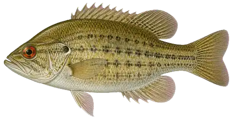 Rock Bass
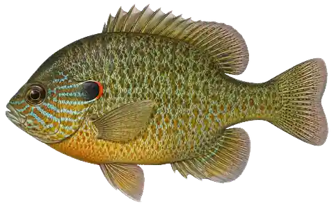 Pumpkinseed
 Rainbow Smelt
Fishing rules for this lake Beta
Size and daily limits for the 30 species found here — 29 open to harvest, 1 with a special rule or closed season.
These are hook-and-line size, daily limit and season rules. Gear, spearing and bow fishing, spawning closures and rod limits are set by other Fisheries Orders and are not shown here.
From the 2026 Michigan Fishing Regulations digest (General Fishing Regulations table and notes) / FO-215.23A (eff. 2023-09-15) / FO-252.26 (eff. 2026-04-01) / FO-240.26 / FO-253.26 (eff. 2026-04-01, Great Lakes trout and salmon by management unit) · verified 2026-08-24. Regulations can change — Michigan DNR rules are the controlling source; verify current regulations before fishing. Official regulations
Notable catches
Master Angler program · 1991–2025Trophy-size fish anglers caught here and registered with the DNR — what people have actually caught, distinct from what a survey netted or the state stocked below.
Catch details by species30 species
Biggest on record
Bait: live bait (70) · minnow (30) · artificial lure (27)
Method: ice fishing (153) · trolling (116) · spin casting (94) · still fishing (56)
Shipwrecks in Little Bay de Noc 1 recorded · none with a verified position
Positions are published by the Michigan Underwater Preserve Council. 0 of 1 here have been verified by the state; the rest are approximate and are marked as such.
1 of these wreck has a 3D reconstruction of the ship afloat — tap a labelled marker on the map, or the 3D preview button below. Only wrecks with a reconstruction are marked on the map; the rest are listed below.
- NahantapproximateWooden propeller package and bulk freight · lost 1897 · burned · 2 lives lost full reconstruction—
Treat these as graves. Lives were lost on many Great Lakes wrecks, including 1 recorded here, and human remains may still be present. Michigan’s bottomlands also hold submerged cultural sites that long predate these ships. Look, photograph, and leave everything exactly as you found it.
Removing or disturbing wreckage on Great Lakes bottomlands is a felony under Michigan Part 761, 1994 PA 451, at a fair market value of $100 or more. Positions are historical reference only — not navigation, and not dive-planning data. Wreck records are published by the Michigan Underwater Preserve Council.
Bait & tackle nearby
licensed retail bait dealers · straight-line distanceLittle Bay de Noc — common questions
How deep is Little Bay de Noc?
The deepest contour on the NOAA NCEI bathymetric survey of Little Bay de Noc is 96 ft. That is the deepest depth the historical survey map records, which may differ from the deepest point of the lake itself.
How big is Little Bay de Noc?
Little Bay de Noc covers about 33,993 acres in Delta County, Michigan.
What fish are in Little Bay de Noc?
Species with survey, catch or recent-stocking evidence include brook trout, brown trout, burbot, channel catfish, chinook salmon, coho salmon. The page lists all 30 species and the evidence behind each.
Is there public access to Little Bay de Noc?
Yes. The Michigan DNR boat-launch data identifies 9 public access sites on Little Bay de Noc, including Rapid River Mouth.