Michigan · St. Joseph County
St. Joseph County lake maps & depth charts
Explore 26 lakes as 3D depth maps, built from Michigan DNR bathymetric surveys — surveyed depth draped over real elevation and aerial imagery.
Featured depth maps
Where the lakes are
Dot size and shade follow max depth: under 15 ft 100 ft and deeper
All 26 mapped lakes in St. Joseph County; deepest is Klinger Lake at 70 ft. Tap a dot to open that lake.
Depth (ft)
–
Acreage
–
Max weeds (aquatic veg %)
%
County
Fish species (surveyed lakes)
Surveyed since (fishery)
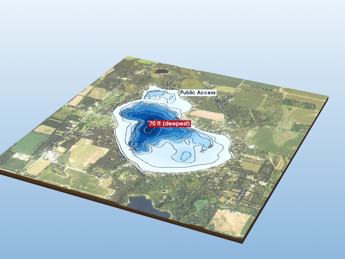
Klinger Lake
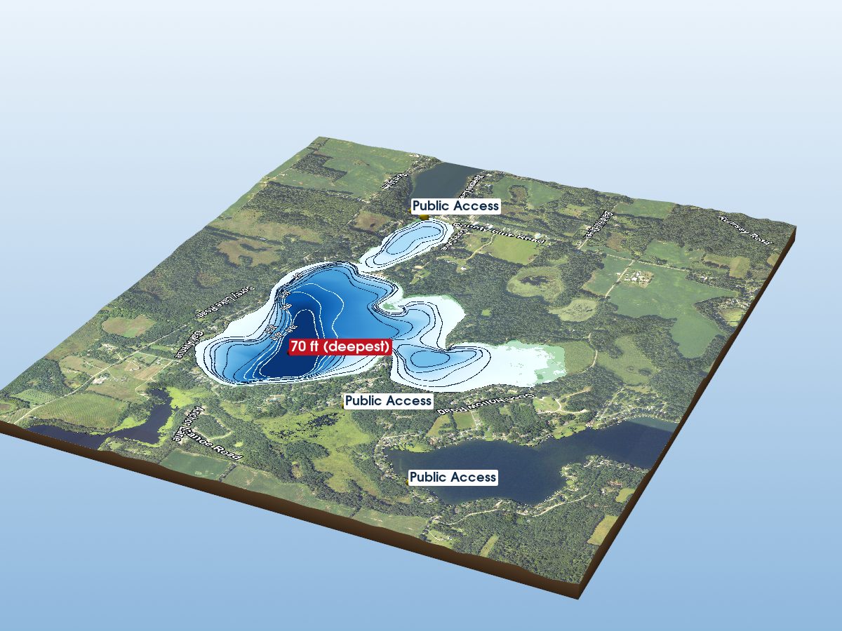
Corey Lake
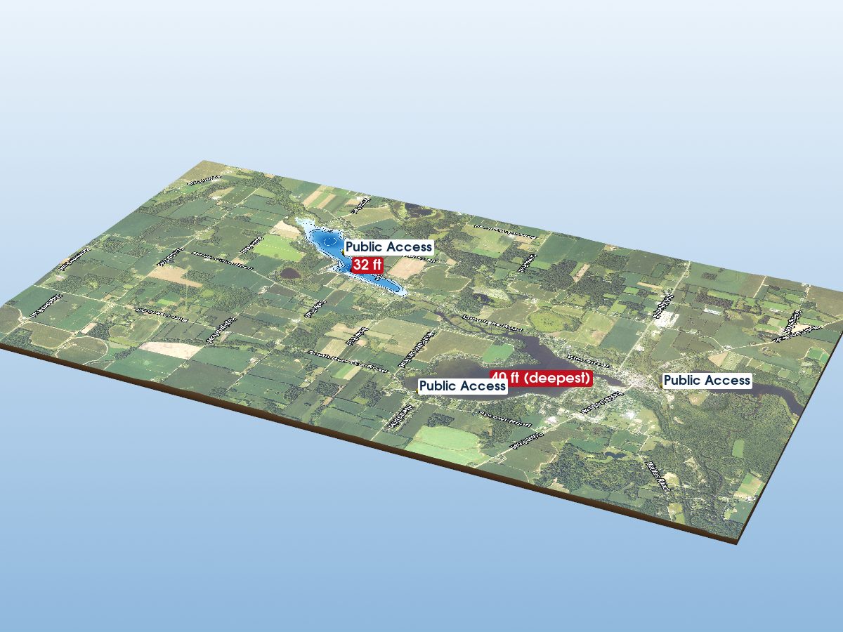
Palmer Lake
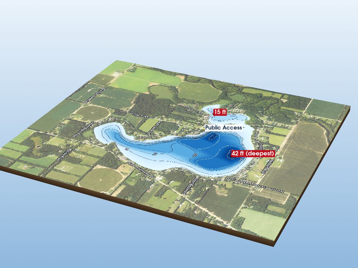
Fishers Lake
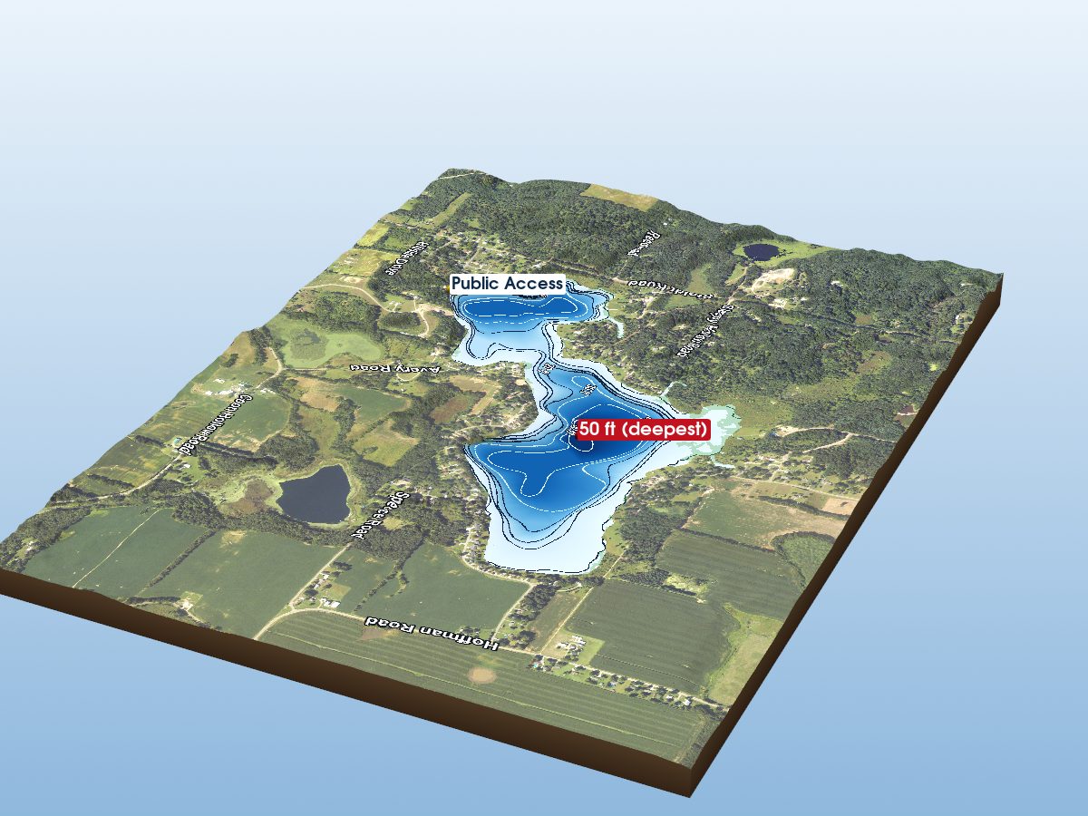
Pleasant Lake
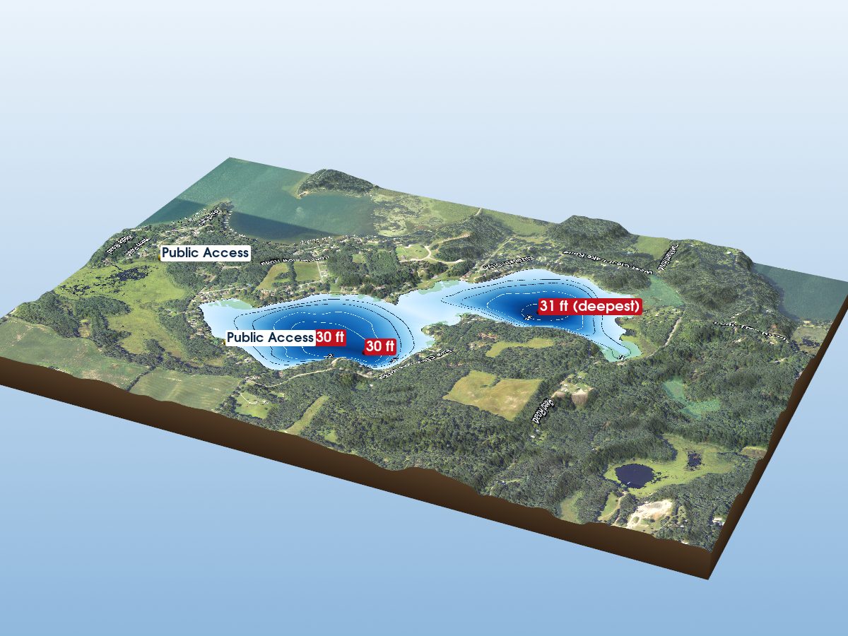
Clear Lake
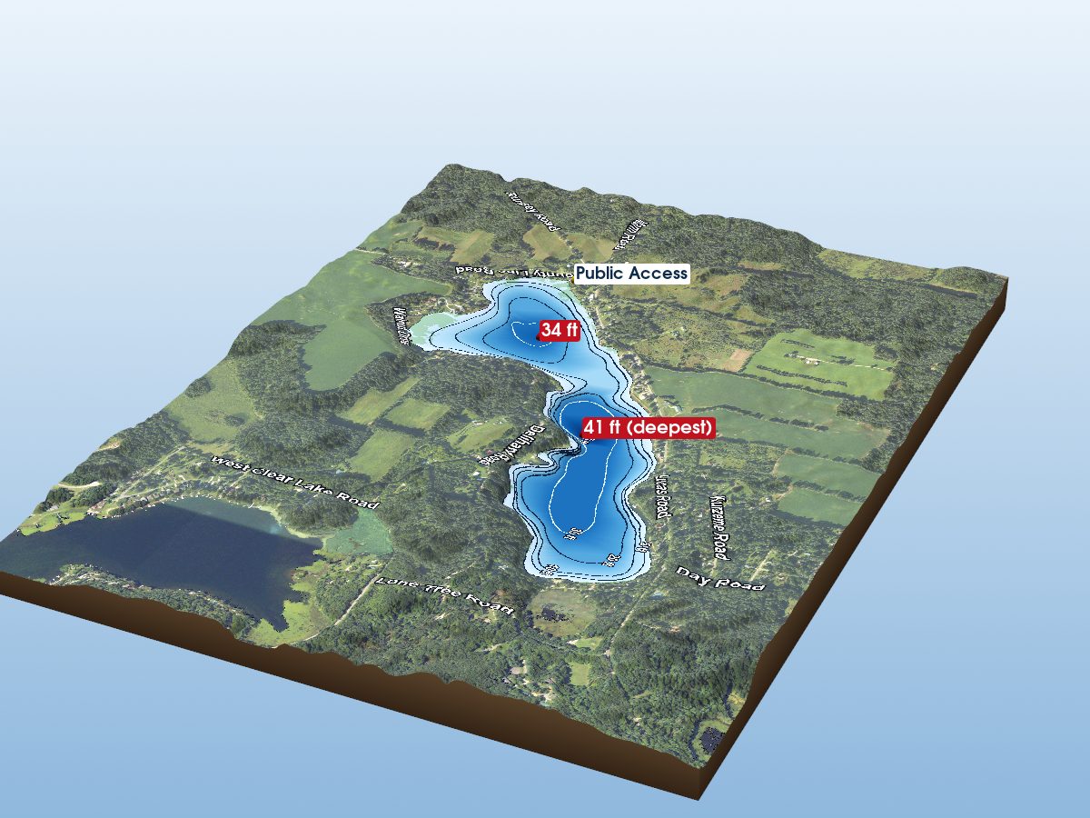
Long Lake
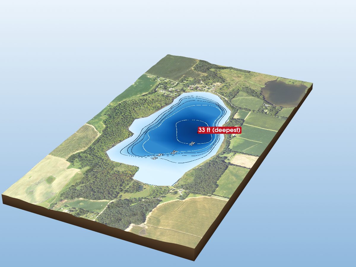
Aldrich Lake
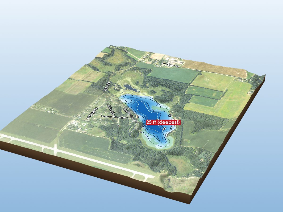
Minnewaukan Lake
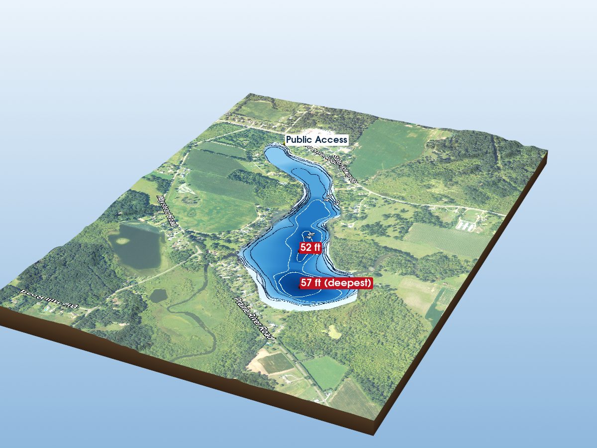
Prairie River Lake
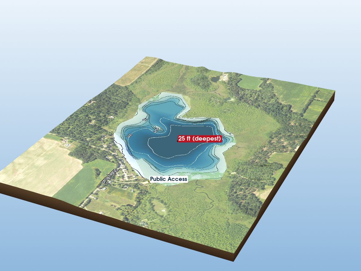
Thompson Lake
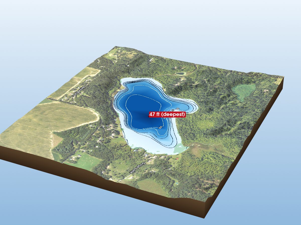
Tamarack Lake
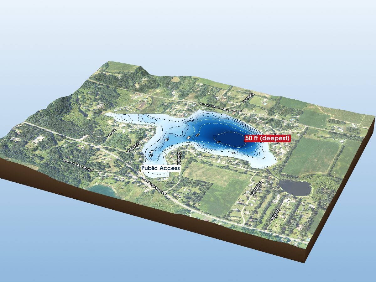
Omena Lake
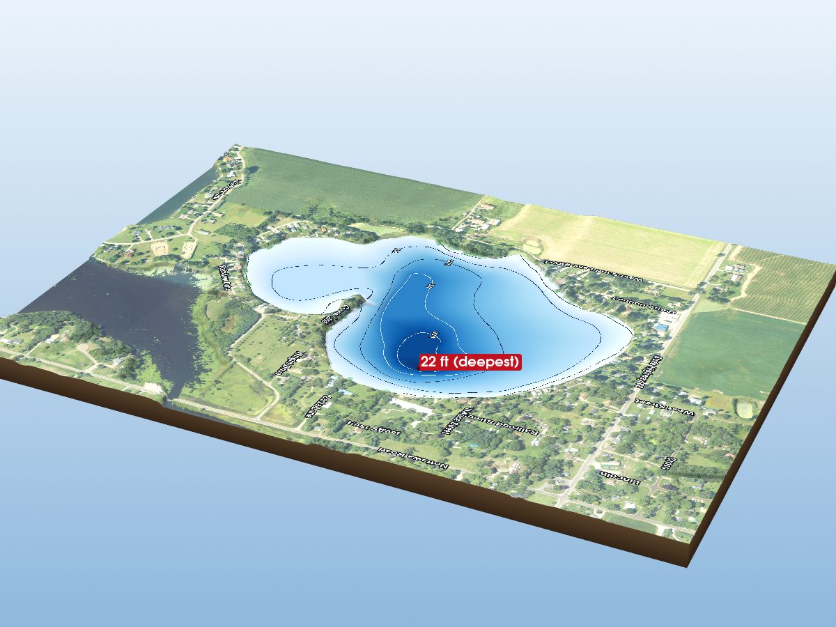
Sand Lake
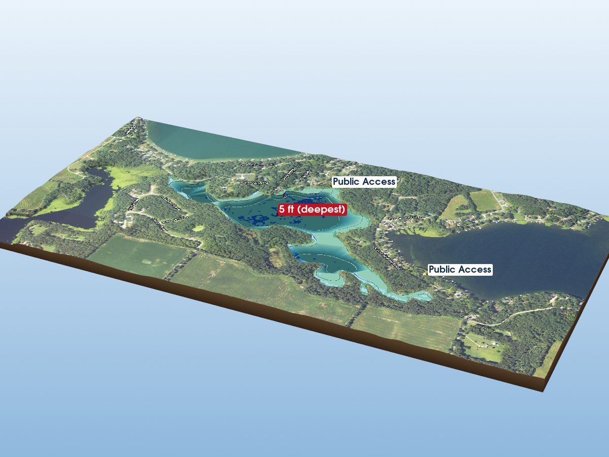
Mud Lake
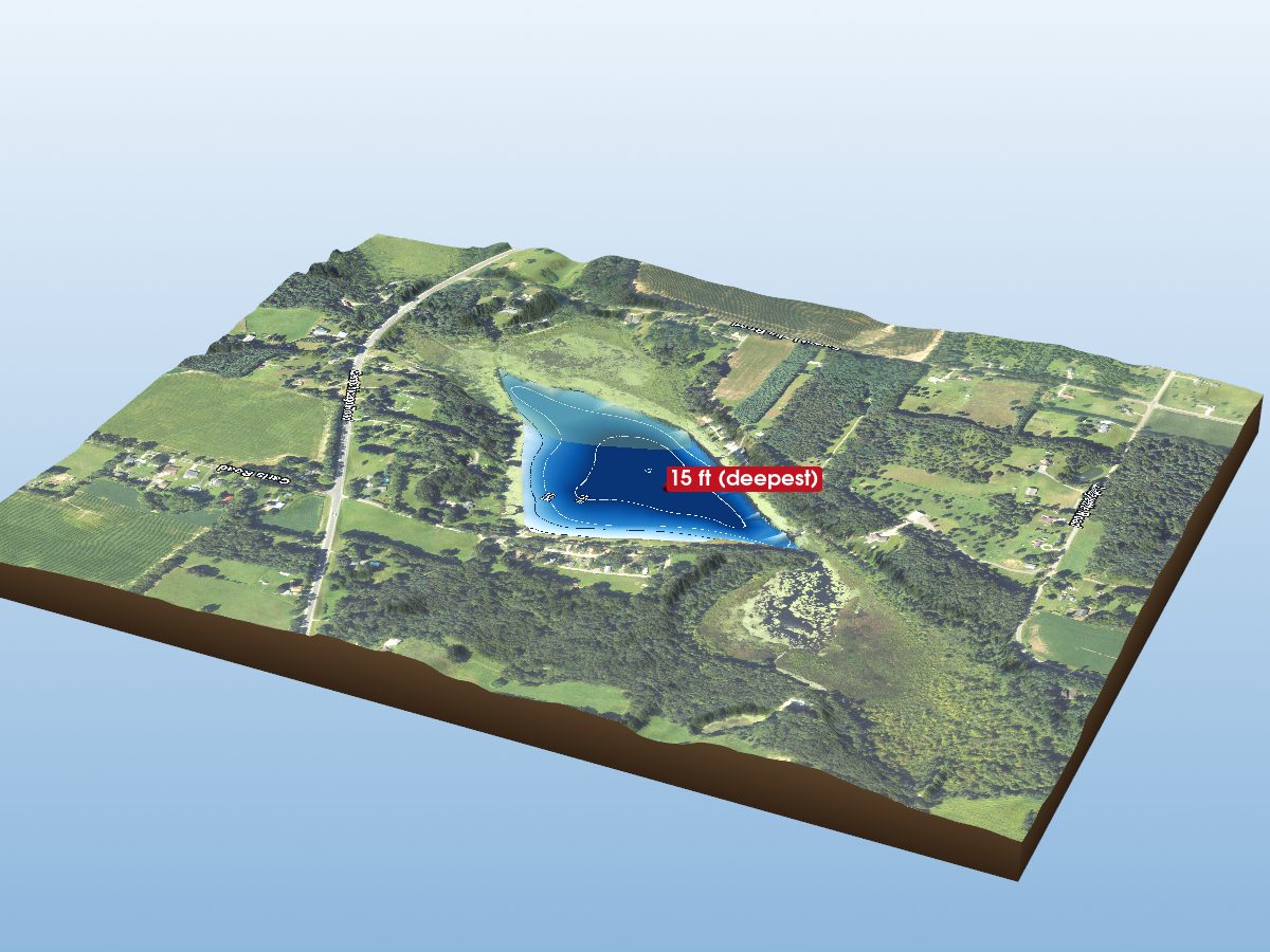
Sweet Lake
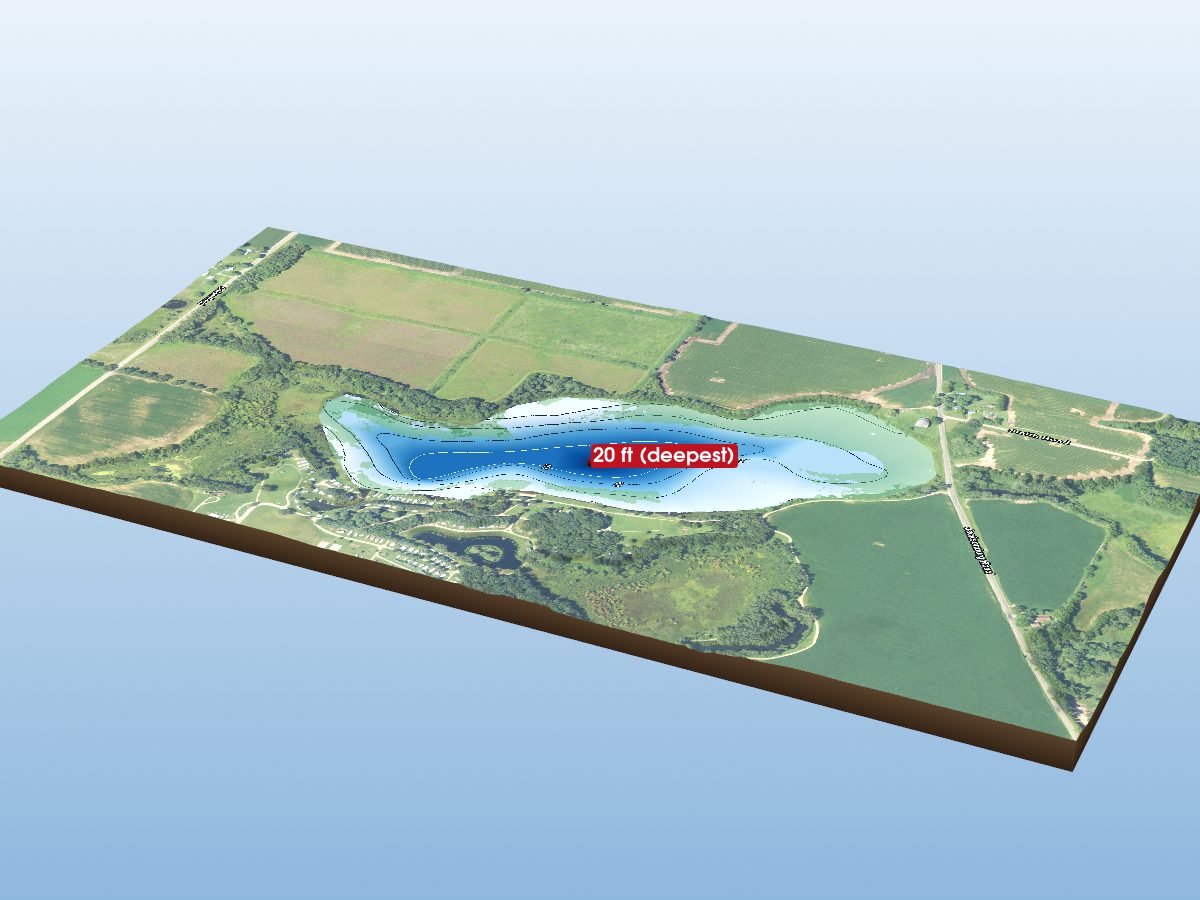
Leidy Lake
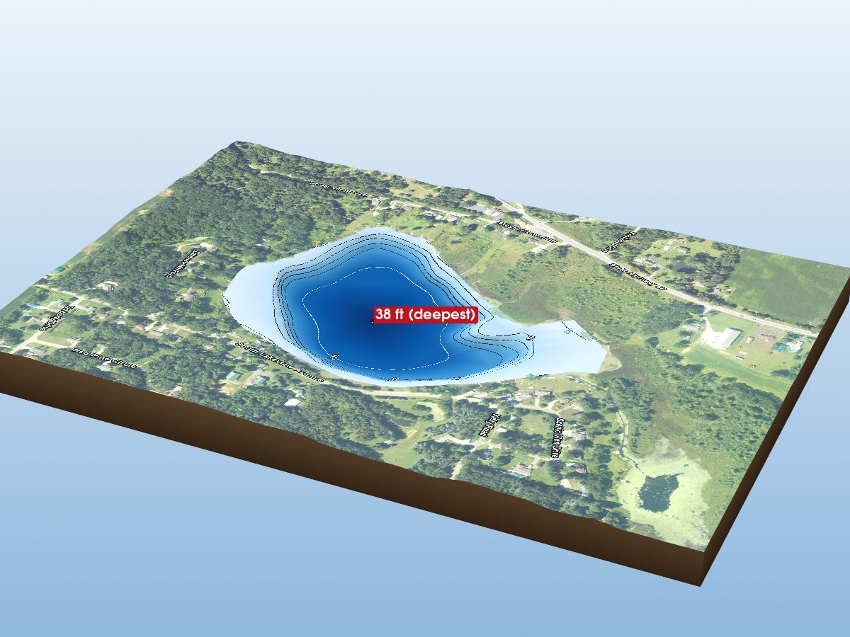
Grey Lake
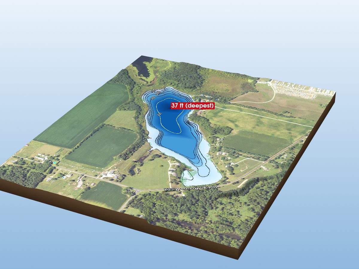
Marl Lakes
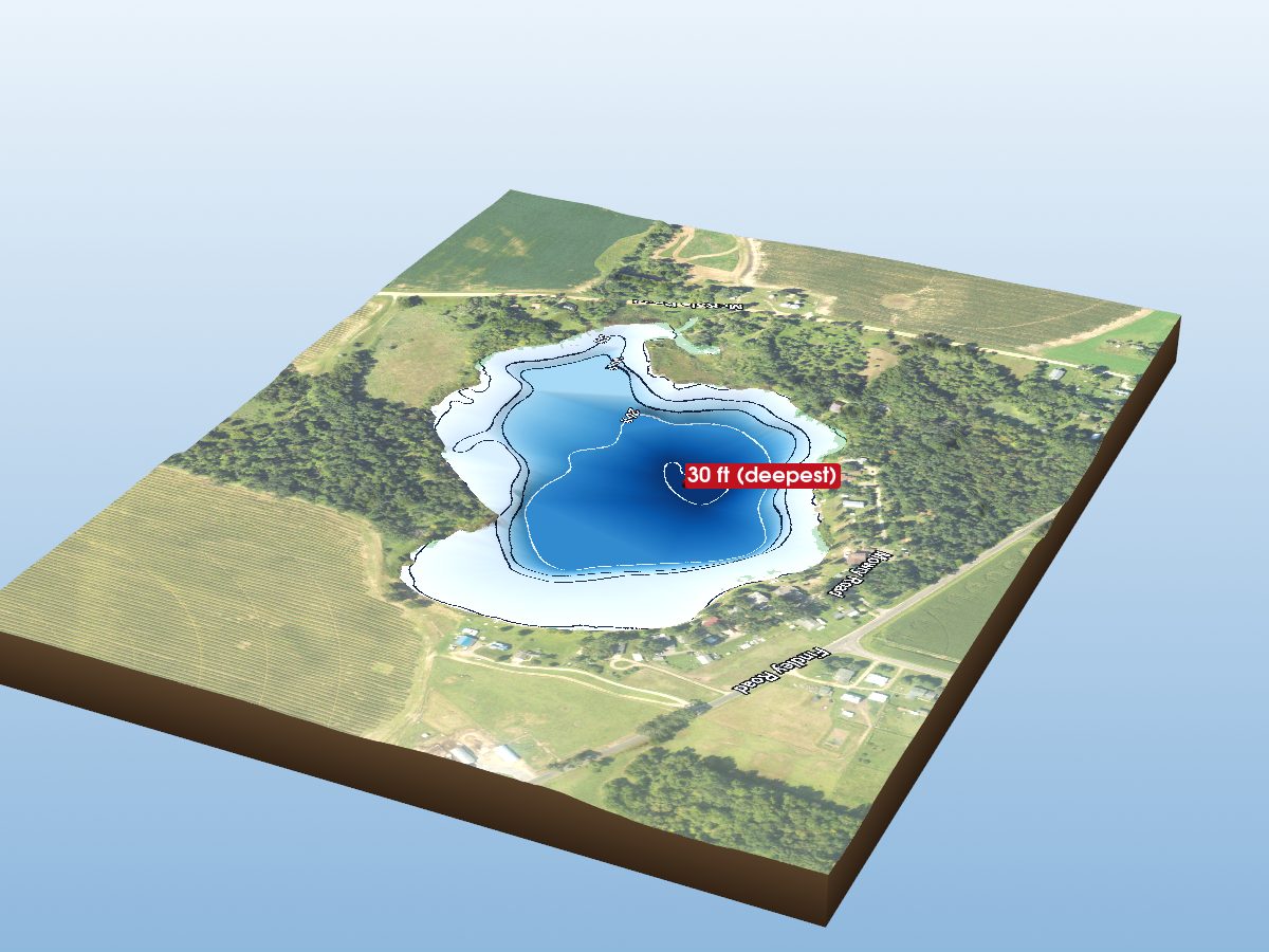
Eberhard Lake
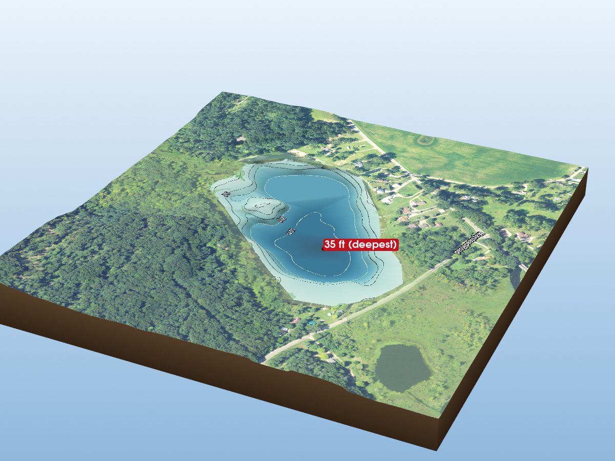
Fish Lake
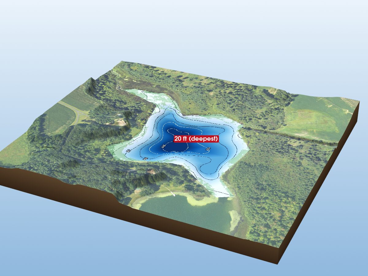
Havens Lake
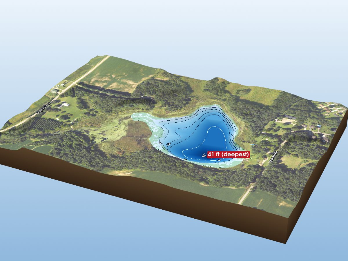
Little Pleasant Lake
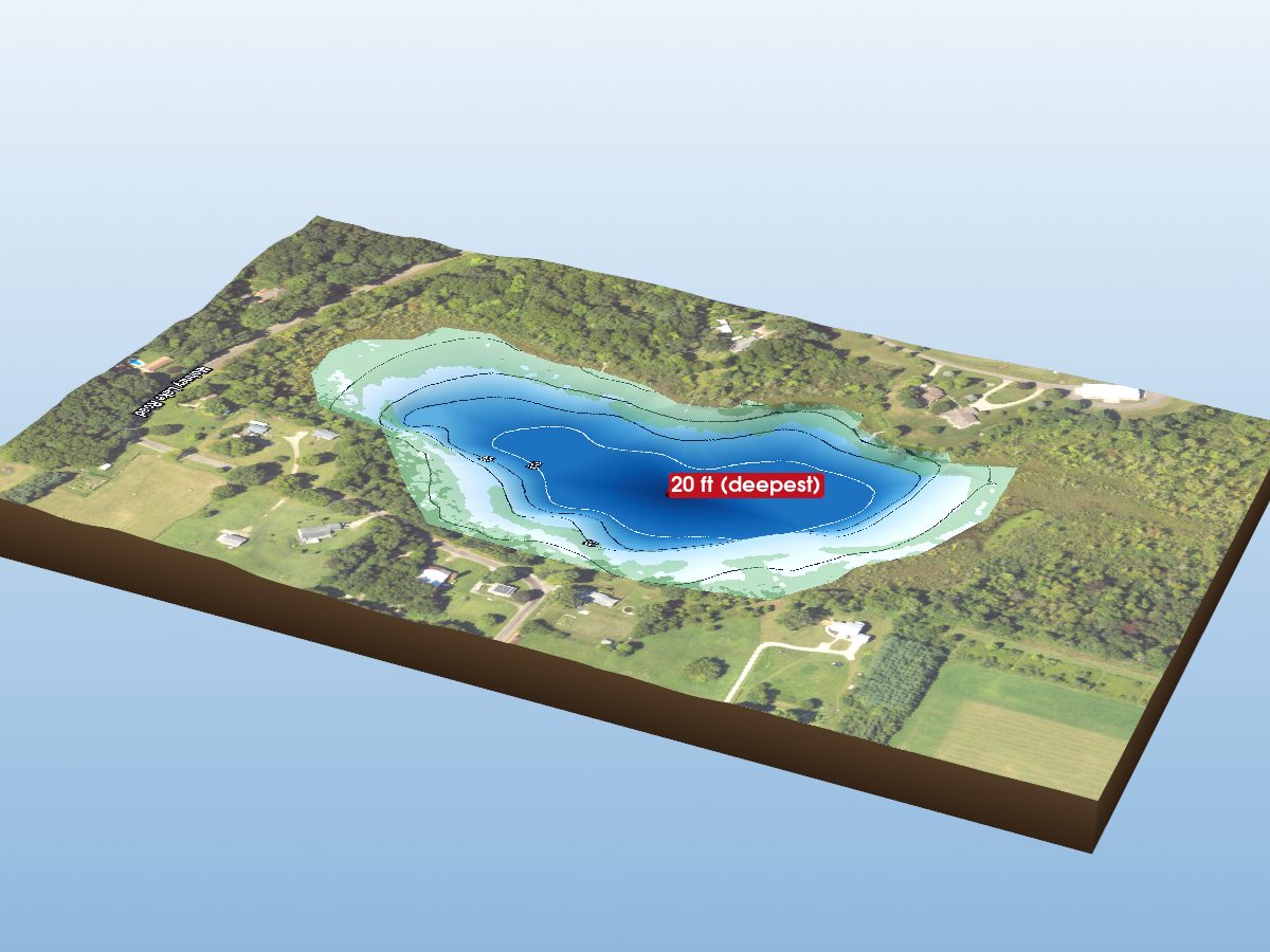
Mohney Lake
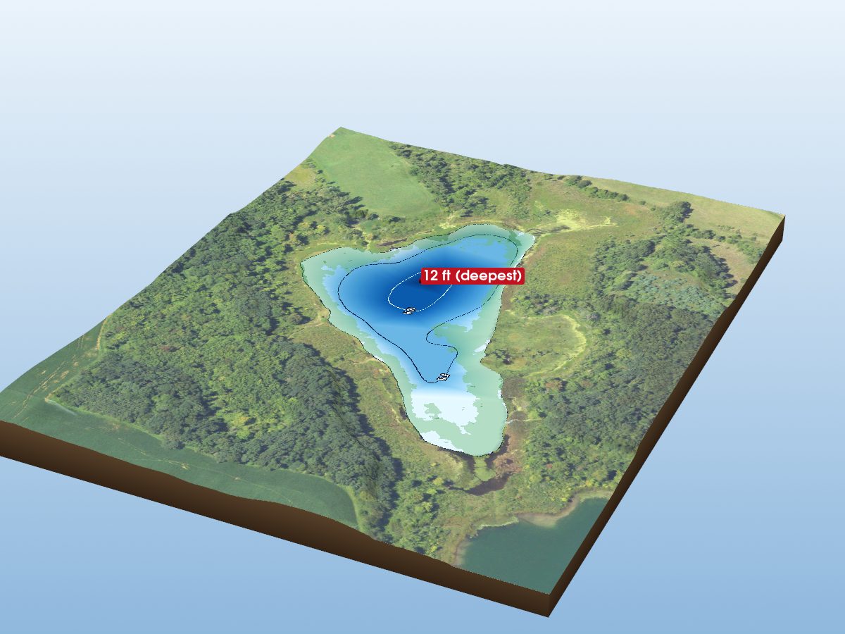
Little Marl Lake
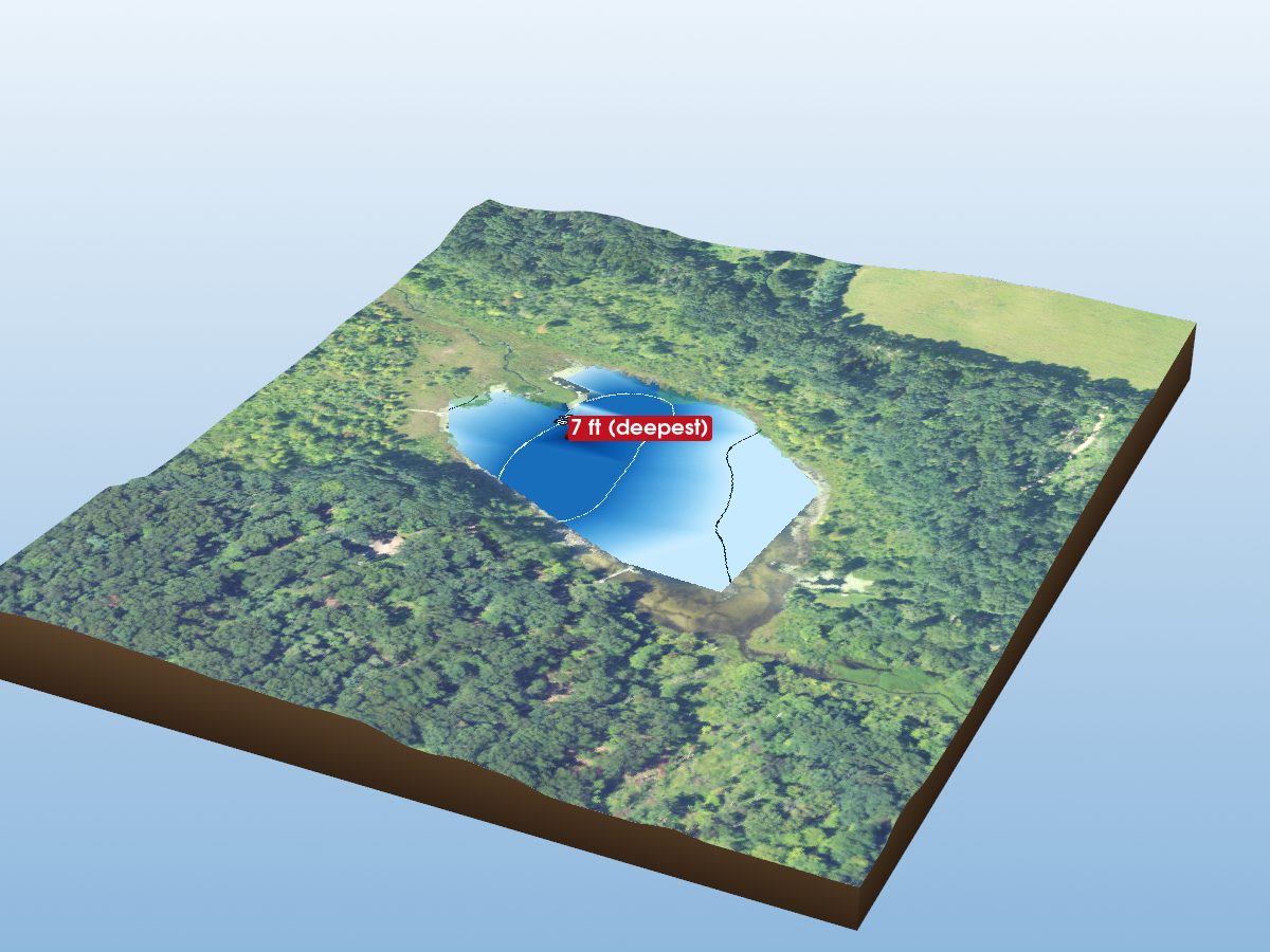
Hawkins Lake