Tramp
Gill-net fishing-tug interpretation
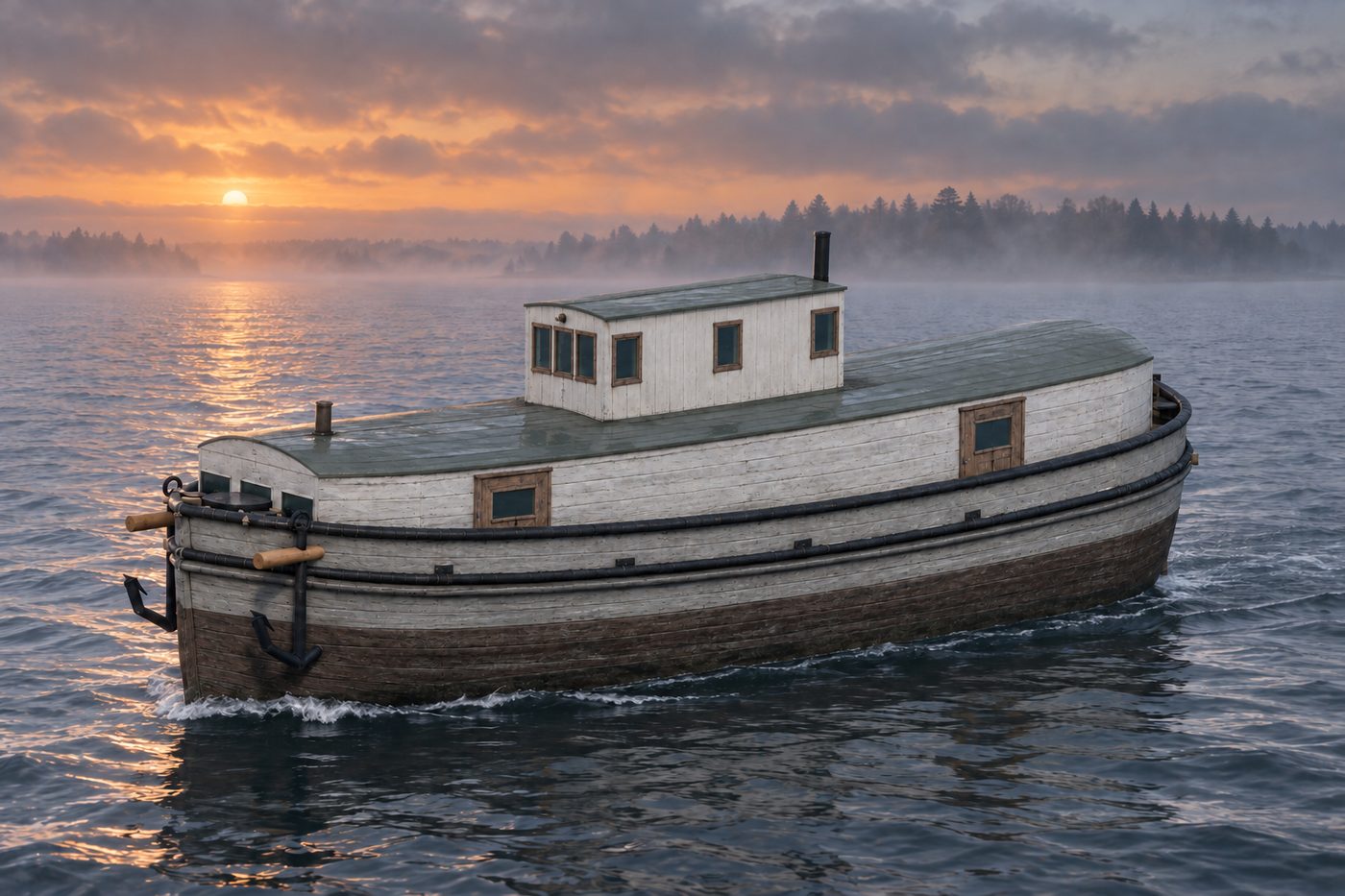
An interpretive 3D reconstruction of the vessel afloat, in the form named above and from before its loss in West Grand Traverse Bay. It is informed by the historical record set out under History below, where the documented evidence and the interpretation are kept apart; rigging, colours and fittings are partly inferred. It is not a survey of the wreck.
Nobody knows the exact spot where this ship went down, so the marker shows the general area.
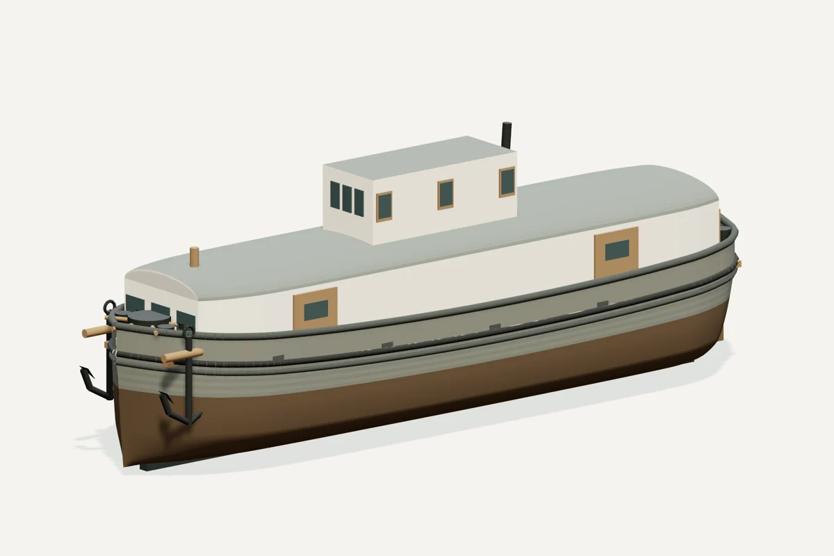
Starboard bow · complete vessel · drag to rotate, scroll or pinch to zoom, right-drag to pan. Hiding a part shows what sat beneath it; it does not recreate the wreck.
What the model represents
From the model specification. Two lists, kept apart on purpose.
Documented
- The preserve describes a 55 ft fishing tug built in 1926. Preserve identification
Inferred
- Underwater hull lines and draft
- Exact colors, fittings, hatch layout and rigging routes
Configuration caveat. The preserve records a 55 ft fishing tug built in 1926. The enclosed turtleback form uses documented contemporary Katherine V as a close comparison. The Rogers City Tramp account gives 62 ft; its link to this wreck and the differing length basis remain unconfirmed. Beam, house arrangement and finish are inferred.
Two numbers that are not the same thing. The waterline toggle sits at 1.50 m above the keel, a display assumption, not a measured draft. The wreck lies in about 44 ft of water; that describes the site, not the ship.
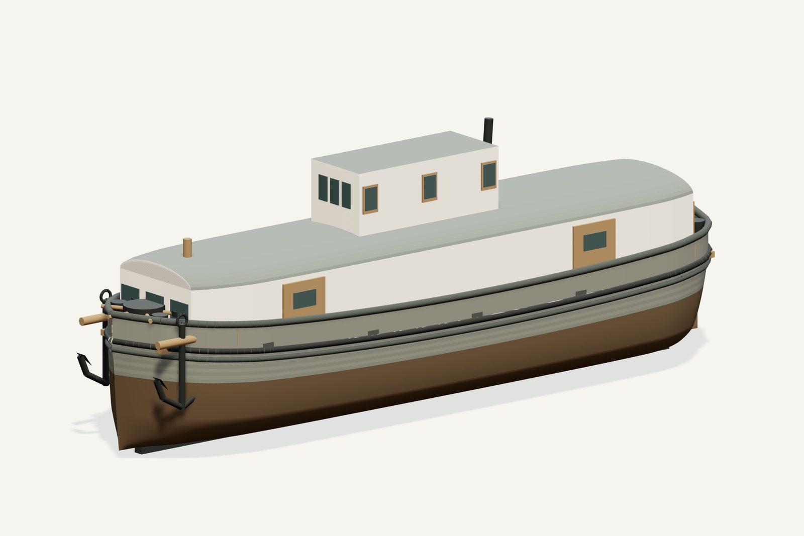
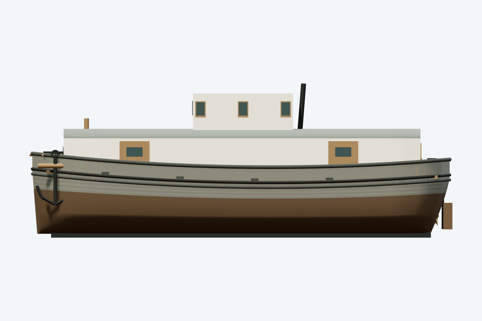
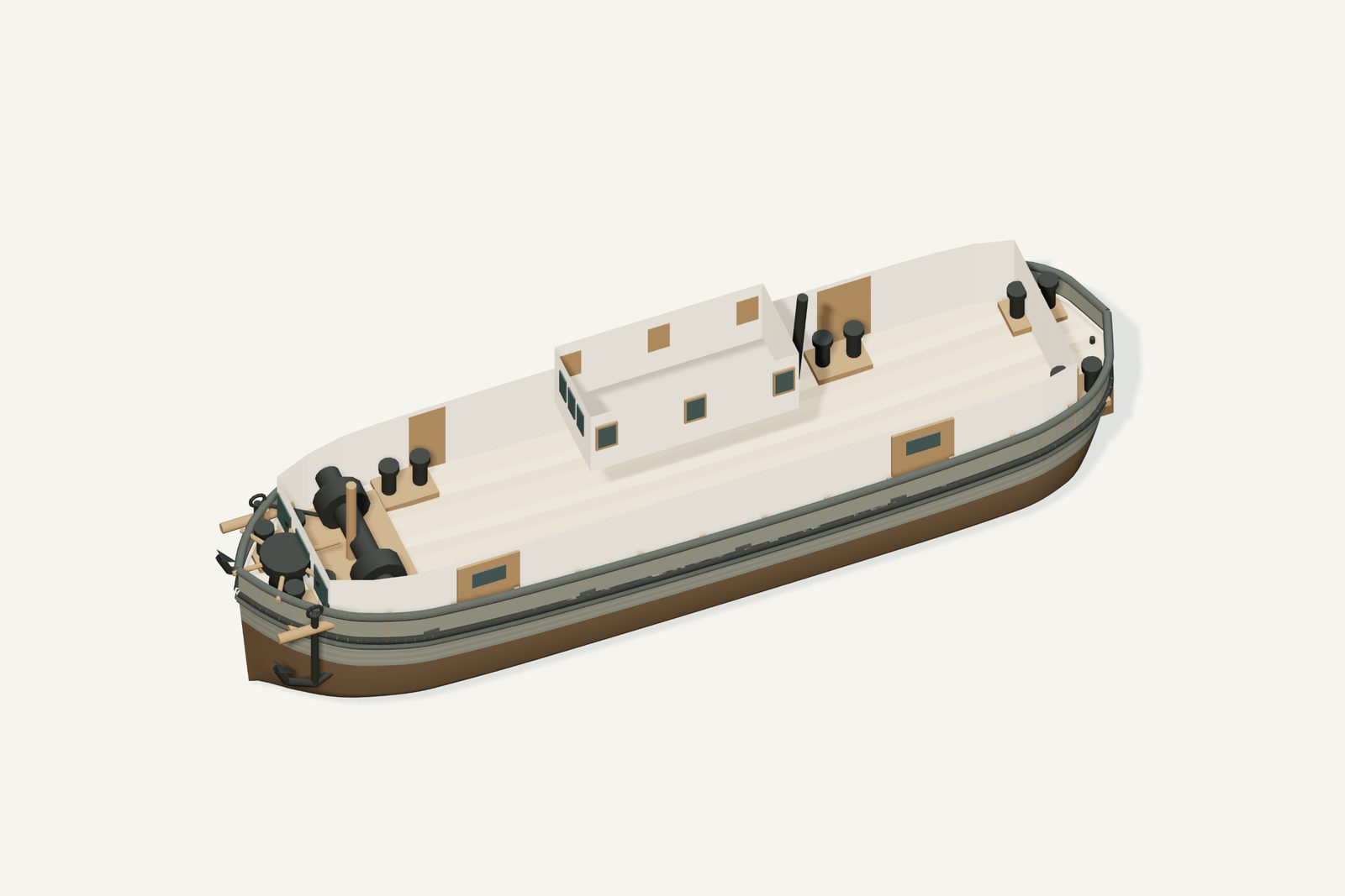
Renders from the model
History, evidence and limits
The research notes behind the reconstruction, reproduced with their citations.
Version 1.1. Metadata and presentation revised September 8, 2026; original evidence review retained.
Selected appearance
Gill-net fishing-tug interpretation. The preserve records a 55 ft fishing tug built in 1926. The enclosed turtleback form uses documented contemporary Katherine V as a close comparison. A historical engine-installation list gives a Tramp at62 ft; its link to this wreck and the differing length basis remain unconfirmed. Beam, house arrangement and finish are inferred.
Documented evidence
The preserve describes a 55 ft fishing tug built in 1926. Preserve identification
Reasonable interpretation
Underwater hull lines and draft
Exact colors, fittings, hatch layout and rigging routes
The 13.4 ft beam is inferred from Katherine V’s 13 ft 4.8 in molded beam. The enclosed working deck, curved roof edges, short diesel exhaust, raised central wheelhouse, side net doors and stern doors follow the documented regional type. These are comparison-based features, not measured details of Tramp. No claim of sister-vessel identity is made. Fishing gear and interior machinery are omitted; roof removal is for inspection.
No complete original lines plan was recovered. Exact colors, underwater lines, loaded draft and hidden fittings are inferred. The model is newly authored exterior geometry; it is not a scan of a historical object.
Unresolved uncertainties
No complete original lines plan is claimed. Exact loaded draft, concealed surfaces and fine fittings remain interpreted. The earlier research context below retains the source distinctions used for this reconstruction.
The preserve describes a 1926-built 55 ft tug. The HAER documentation of Katherine V records a 1928 regional gill-net fishing boat with a rounded-edge enclosed deck and raised wheelhouse. It also discusses a contemporary Rogers City Tramp. The reproduced Kahlenberg engine installation list on Harvey Hadland’s site lists a Tramp at 62×16 ft. That table is evidence of a named engine installation, not proof of this wreck’s identity. A documentary chain establishing that this is the same boat as the Power Island wreck was not recovered.
The 55 ft preserve length and 62 ft Rogers City account may use different measurement bases or refer to different boats; that remains unresolved. The selected scale follows the wreck record. The comparative form does not authenticate the Rogers City association. Loss is circa the 1970s.
Sources
Illustration conditions
cold misty dawn, steel-blue water and a low amber horizon; no ice collision. Weather, shore and sky are artistic staging, not evidence of final-voyage conditions. AI artwork is supplemental and may differ from the GLB; map previews must use the actual model poster.
Sources used for the model
Rights and respect
Removing or disturbing wreckage on Great Lakes bottomlands is a felony under Michigan Part 761, 1994 PA 451, at a fair market value of $100 or more. Positions are historical reference only — not navigation and not dive-planning data. Wreck records are published by the Michigan Underwater Preserve Council.
Treat these as graves. Lives were lost on many Great Lakes wrecks and human remains may still be present. Look, photograph, and leave everything exactly as you found it.
Model and renders were newly made for this project (2026). Three.js r160.1 is used under the MIT licence; its notice ships with the vendored files. Wreck position, depth and dates: Michigan Underwater Preserve Council. The model specification (version 1.1, revised 2026-09-08) is published beside the assets (model-spec.json).