Grecian
Photograph-guided working steel bulk freighter, 1891–1906
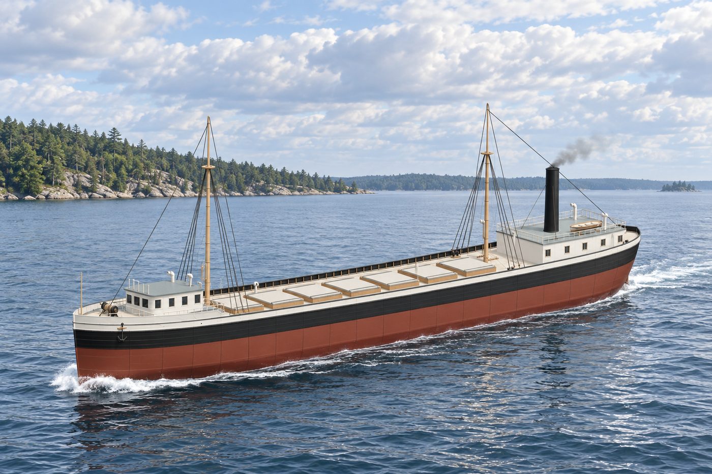
An interpretive 3D reconstruction of the vessel afloat, in the form named above and from before its loss in Thunder Bay. It is informed by the historical record set out under History below, where the documented evidence and the interpretation are kept apart; rigging, colours and fittings are partly inferred. It is not a survey of the wreck.
Nobody knows the exact spot where this ship went down, so the marker shows the general area.
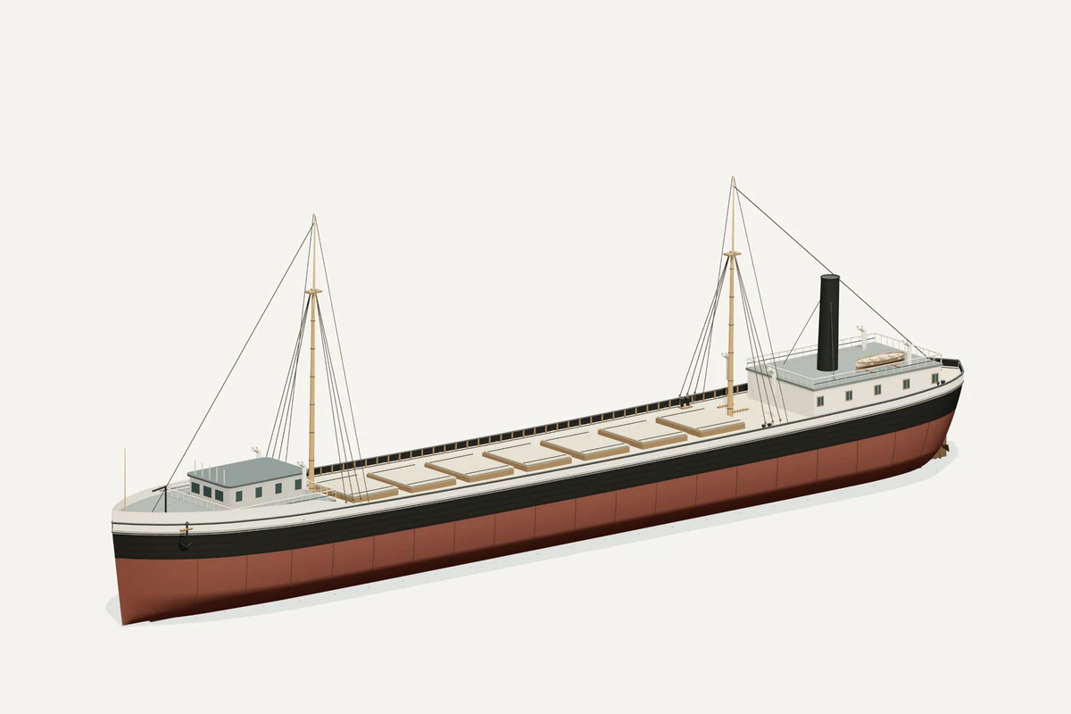
Starboard bow · complete vessel · drag to rotate, scroll or pinch to zoom, right-drag to pan. Hiding a part shows what sat beneath it; it does not recreate the wreck.
What the model represents
From the model specification. Two lists, kept apart on purpose.
Documented
- NOAA records Grecian as a 296×40 ft steel freighter built in 1891. NOAA.
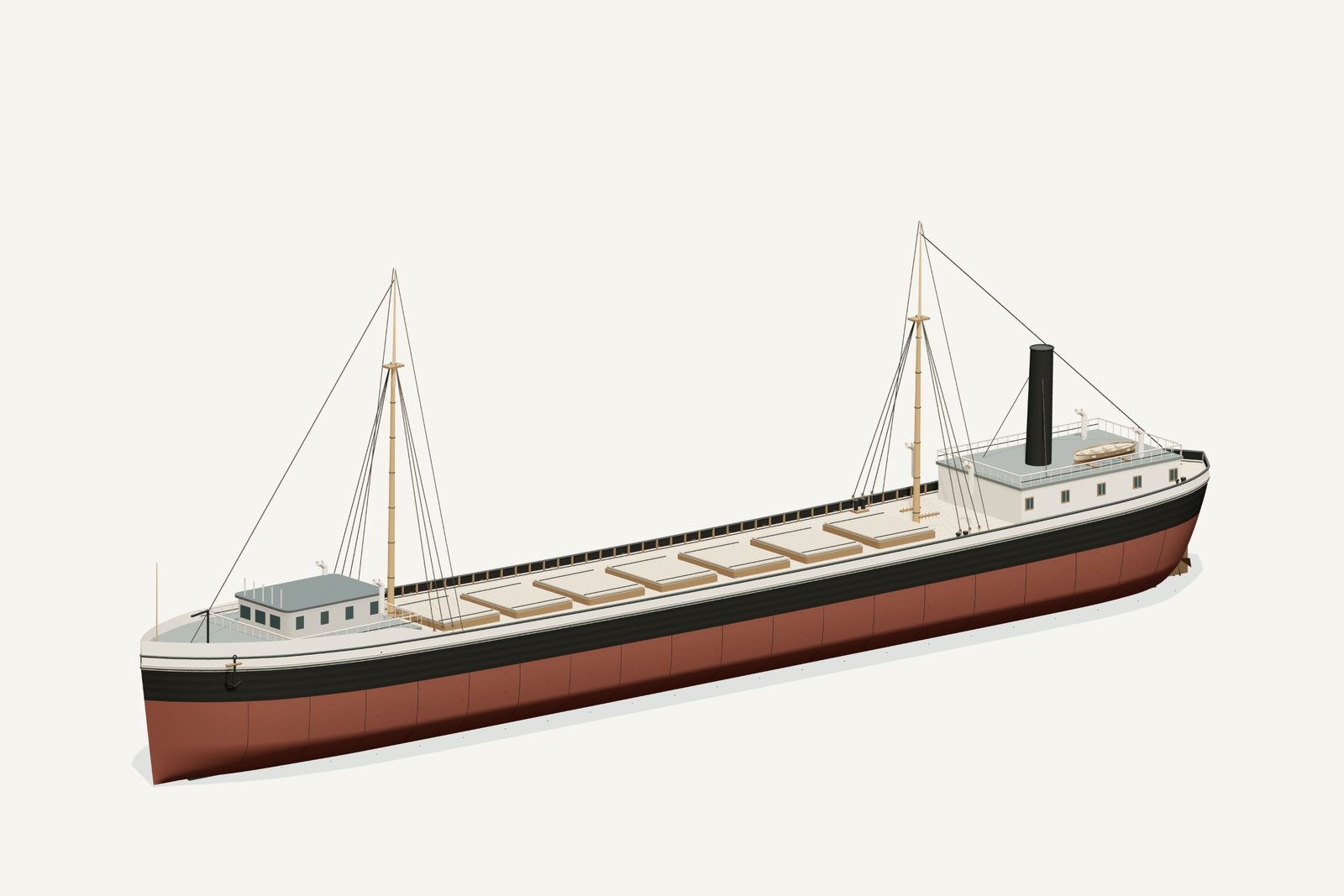
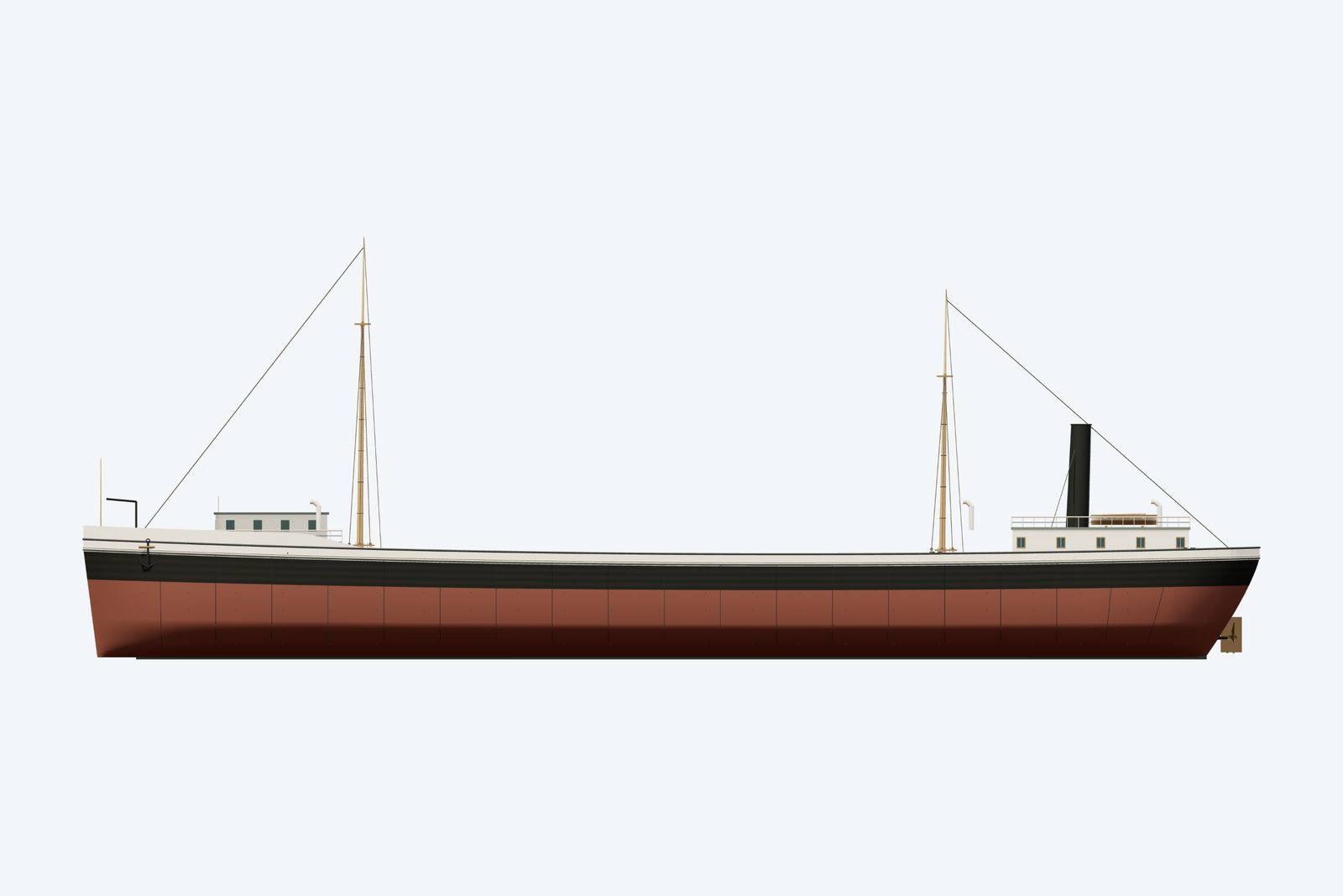
- The named historical photograph shows a black hull, broad white sheer strake widening toward the bow, raised forecastle break, compact rounded-corner wheelhouse and wraparound open bridge, anchor davit, slender forward pipes, bow jackstaff, two masts and one aft funnel. Historical photograph.
- Shipwreck Explorers lists 21 ft depth of hold, 2, 348 gross/1, 875 net tons and US86136. It describes the June 7, 1906 grounding near De Tour, refloating and tow by Sir Henry Bessemer, followed by sinking off Thunder Bay Island June 15; the crew escaped in boats. Norman was a sister ship. Shipwreck Explorers.

Inferred
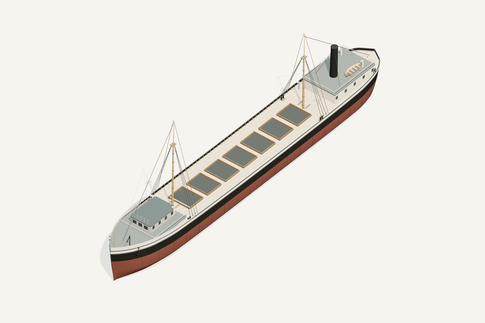
- Exact panel joints, paint pigments within the photographed black-and-white pattern, window dimensions, hidden deck surfaces, hatch count/spacing and fittings are interpreted.
- Forward sheer and wheelhouse corners are approximations to a perspective photograph, not surveyed hull offsets.
Configuration caveat. Own photograph guides black hull and broad white sheer band, raised forecastle, compact rounded wheelhouse, two masts and aft funnel. Underwater lines, hatch layout and small fittings are inferred. Wreck depth is reported as 100 or 106 ft; this is not a measured restoration plan.
Two numbers that are not the same thing. The waterline toggle sits at 5.40 m above the keel, a display assumption, not a measured draft. The wreck lies in about 106 ft of water; that describes the site, not the ship.
Renders from the model
History, evidence and limits
The research notes behind the reconstruction, reproduced with their citations.
Version 1.1. Revised September 8, 2026.
Selected appearance
Photograph-guided working steel bulk freighter, 1891–1906. The revised black hull, broad pale sheer band, raised forecastle and compact rounded wheelhouse follow the inspected historical photograph.
Documented evidence
NOAA records Grecian as a 296×40 ft steel freighter built in 1891. NOAA.
The named historical photograph shows a black hull, broad white sheer strake widening toward the bow, raised forecastle break, compact rounded-corner wheelhouse and wraparound open bridge, anchor davit, slender forward pipes, bow jackstaff, two masts and one aft funnel. Historical photograph.
Shipwreck Explorers lists 21 ft depth of hold, 2, 348 gross/1, 875 net tons and US86136. It describes the June 7, 1906 grounding near De Tour, refloating and tow by Sir Henry Bessemer, followed by sinking off Thunder Bay Island June 15; the crew escaped in boats. Norman was a sister ship. Shipwreck Explorers.
Reasonable interpretation
Exact panel joints, paint pigments within the photographed black-and-white pattern, window dimensions, hidden deck surfaces, hatch count/spacing and fittings are interpreted.
Forward sheer and wheelhouse corners are approximations to a perspective photograph, not surveyed hull offsets.
Unresolved uncertainties
Water depth differs: catalogue 106 ft versus 100 ft in NOAA and Shipwreck Explorers, with deck around 75 ft. Hold depth 21 ft is not water depth or loaded draft.
No full original lines plan was recovered. Underwater form and working draft remain qualified. The 1909 salvage apparatus is not part of the operational reconstruction.
Sources
Illustration conditions
Supplemental AI artwork is made from the revised model render where the model changed; the provenance records the actual input files. Lake, shore, sky and weather are artistic staging, not evidence of a final voyage or a measured location. The actual GLB and its direct renders are the geometry reference.
Sources used for the model
Rights and respect
Removing or disturbing wreckage on Great Lakes bottomlands is a felony under Michigan Part 761, 1994 PA 451, at a fair market value of $100 or more. Positions are historical reference only — not navigation and not dive-planning data. Wreck records are published by the Michigan Underwater Preserve Council.
Treat these as graves. Lives were lost on many Great Lakes wrecks and human remains may still be present. Look, photograph, and leave everything exactly as you found it.
Model and renders were newly made for this project (2026). Three.js r160.1 is used under the MIT licence; its notice ships with the vendored files. Wreck position, depth and dates: Michigan Underwater Preserve Council. The model specification (version 1.1, revised 2026-09-08) is published beside the assets (model-spec.json).