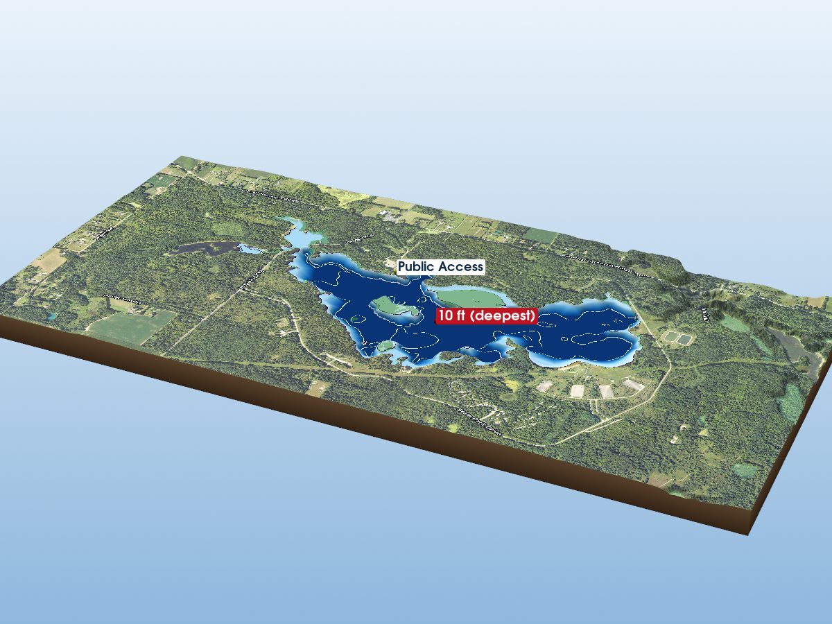
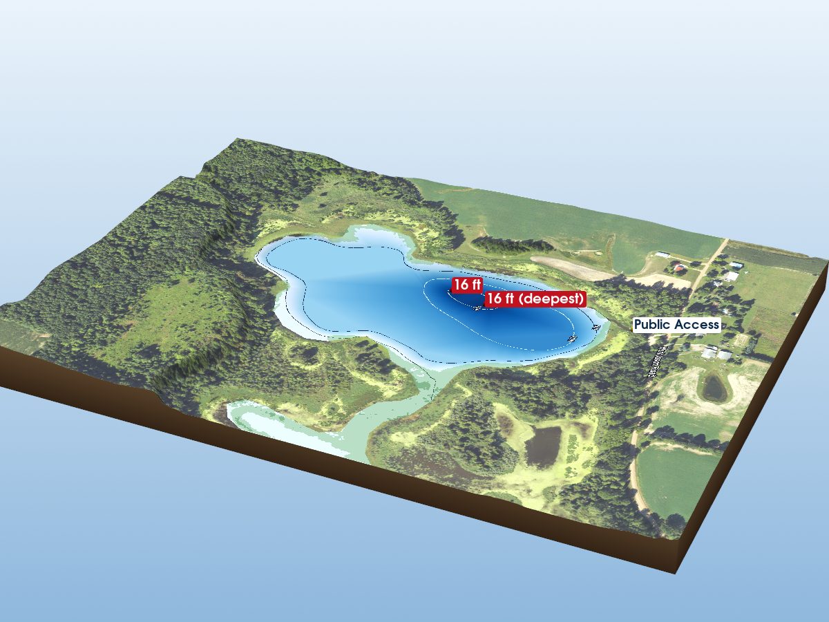
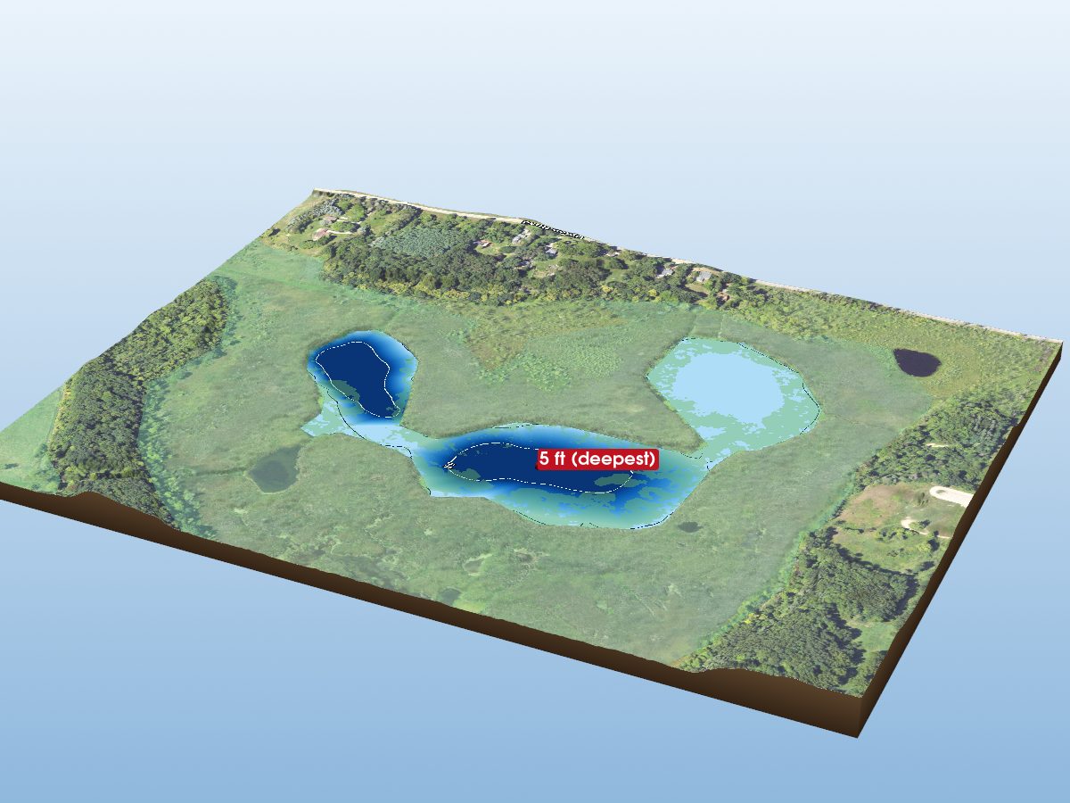
Park Lake
depth
Get directions
Depth scale
Survey readout
Park Lake is mapped to a depth of 25 ft on the Michigan DNR survey and covers about 183 acres in Clinton County, Michigan.
Measured from the Michigan DNR inland-lake contour survey (depths read from the survey's isobath field; this lake's summary-depth column is blank in the source).
- Deepest mapped contour
- 25 ft
- Mean depth
- 5.4 ft · estimated
- Surface area
- 183 acres
- Estimated volume
- 984 acre-ft · 321M gal
- Shoreline
- 2.17 mi · round
- Aquatic vegetation
- 34% of surface · NDVI estimate
- Trophic state
- Eutrophic · satellite estimate · readings disagree · details
- Public access
- Boat Launch
- Borders
- Park Lake · 14% of shoreline
Additional depth details5 contours
- Contour depths
- 0–25 ft
- Recorded point soundings
- 25 ft
90.7% of the surface sits over water shallower than 10 ft. Depth, area and volume are estimated from the interpolated survey surface — historical reference, not measurement.
Compare with another lakeProvenance
Sources: MI DNR inland lake contours, USGS 3DEP, USDA NAIP (public domain), OpenStreetMap (ODbL), MI DNR Boat Launches.
⚠ Not for navigationSpot an error? Send a correction
Map details & sources5 sources
All layers registered to one bounding box; positions in WGS 84.
Survey-derived depth contours drape over USGS 3DEP elevation, with a USDA NAIP aerial basemap and OpenStreetMap shoreline. Color shows surveyed depth; dark lines are the survey's own isobaths.
- Coordinates
- 42.78974, -84.44015
- MI DNR lake ID
- L6963
- Vertical exaggeration
- 2.83×
- Basemap
- USDA NAIP · public domain
- Model size
- 2.4 MB
Lake productivity & trophic state
Satellite estimateSatellite-estimated classification: Eutrophic. Higher nutrient levels and biological productivity, often with more algae or aquatic plant growth. Based on satellite estimates of summer chlorophyll-a (LAGOS-US LANDSAT, 2020). No lake-specific measurement is available in this dataset.Field and satellite readings disagree for this lake: a Secchi disk water-clarity reading of 11 ft was recorded in 2008, while the satellite estimate is 7.8 ft. Treat the satellite-estimated classification with caution.
Trophic state describes how biologically productive a lake is, based on indicators such as nutrients, algae and water clarity. It is not a swimming-safety or overall water-quality rating.
What do the categories mean?
- Oligotrophic≤ 2 µg/L · lower nutrient and algae levels, often clearer water and lower biological productivity.
- Mesotrophic2–7 µg/L · moderate nutrient levels and biological productivity.
- Eutrophic · this lake7–30 µg/L · higher nutrient levels and biological productivity, often with more algae or aquatic plant growth.
- Hypereutrophic> 30 µg/L · very high nutrient levels and biological productivity, with a greater potential for heavy algae growth and low water clarity.
Bands are summer (June–August) mean chlorophyll-a, the green pigment in algae, at the EPA 2012 National Lakes Assessment thresholds. Trophic condition can change over time and by measurement method. Source: Midwest Glacial Lakes Partnership Conservation Planner; satellite chlorophyll-a estimates from LAGOS-US LANDSAT.
Paddling
Paddling Index methodology v1.0 · calculated 2026-09-23Park Lake has a substantially developed setting, generally sheltered geometry, substantial nearby higher-volume roads. No special watercraft restriction is identified in the current source.
Why this score?5 components
Included in the index
| Component | Rating | Points of weight | Measurement |
|---|---|---|---|
| Natural setting | Modest | 6.5 of 30 | 45% natural land cover within 150 m of shore (3% forest, 42% wetland; 51% developed) |
| Geometric wind exposure | Very Good | 16.8 of 25 | mean fetch 885 m · 0% of sampled water within 500 m of shelter · generally short fetch |
| Watercraft controls | None identified | 7.5 of 15 | No special watercraft restriction identified in the current DNR source. Motors permitted, subject to general law. |
| Public access | Good | 12.8 of 15 | 1 site with DNR boating-facility records · 1 ramp lane · 9 trailer spaces |
| Road isolation | Modest | 0.8 of 15 | substantial nearby higher-volume roads · 58 MDOT-classified segments within 1.2 km, peak 37,127 vehicles/day |
Additional paddling considerations
These describe the lake but are not part of the v1 Paddling Index and do not change the number above.
- Wake sensitivity
- Low — wide enough that wakes disperse over most of the lake
- Aquatic vegetation
- Moderate — approximately 34% mapped coverage · NAIP aerial imagery (NDVI)
- Observed motorized activity
- Unknown — No lake-level measurement of boat traffic is available. Legal permission to operate motors is not evidence of use.
- Wildlife habitat potential
- Moderate — 3% forest and 42% wetland cover within 150 m of shore
Compare Michigan lakes by Paddling Index →
Fish you might catch
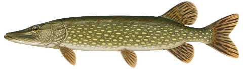
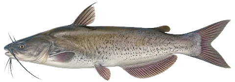
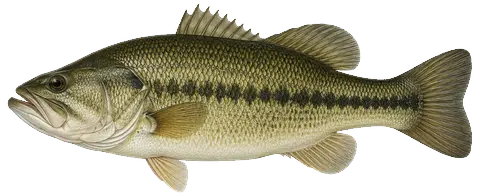
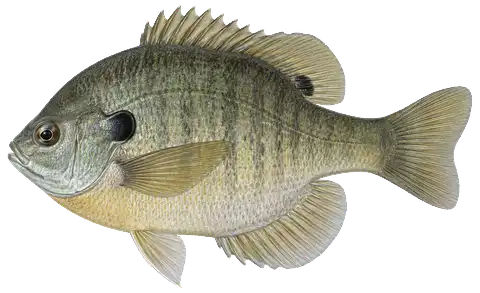
from angler catches & active stocking4 species with recent evidence in this lake — sized relative to each other. Illustrations are AI-generated representative adults in everyday colors, not photographs (provenance).
About these fish → the Fish of Michigan guide
Fishing rules for this lake Beta
Size and daily limits for the 4 species found here — 4 open to harvest.
These are hook-and-line size, daily limit and season rules. Gear, spearing and bow fishing, spawning closures and rod limits are set by other Fisheries Orders and are not shown here.
From FO-206.26 (eff. 2026-04-01) / FO-215.23A (eff. 2023-09-15) / FO-254.25 (eff. 2025-10-10), checked against the 2026 Michigan Fishing Regulations digest · verified 2026-09-15. Regulations can change — Michigan DNR rules are the controlling source; verify current regulations before fishing. Official regulations
Notable catches
Master Angler program · 2010–2020Master Angler catches recorded on this lake — too few to show a pattern, so they are listed individually.
DNR stocking
state stocking record · 1991–2025Fish the Michigan DNR has planted in this lake — what was added, distinct from what a survey netted above.
Non-native species records
3 recordsMussels & snails

Plants & algae


How to identify invasive species in Michigan lakes →
What does non-native mean?
USGS records identify non-native species that have been documented for this lake or its shoreline. Non-native does not necessarily mean invasive, and historical records do not confirm current presence.
Source: Midwest Glacial Lakes Partnership Conservation Planner; underlying nonindigenous species records from the USGS Nonindigenous Aquatic Species database.
Public fishing access
MI DNR family-friendly fishingCity-managed · Free · Bathrooms are "modern" (include flush-able toilets and running water) restrooms · Paved parking
Amenities: Animal-friendly, bait store, beach, boat launch, picnic tables, playground, shelter, swimming access
“Park Lake is a shallow, weedy lake that is readily accessed from the boat launch, or the beach and fishing pier. Wading the lake is difficult due to soft bottom.”
At the lake
community-mapped amenities · straight-line distanceBait & tackle nearby
licensed retail bait dealers · straight-line distancePark Lake — common questions
How deep is Park Lake?
The deepest contour on the Michigan DNR bathymetric survey of Park Lake is 25 ft. That is the deepest depth the historical survey map records, which may differ from the deepest point of the lake itself.
How big is Park Lake?
Park Lake covers about 183 acres in Clinton County, Michigan.
What is the average depth of Park Lake?
The estimated mean depth of Park Lake is 5.4 ft, calculated from the survey contours.
What fish are in Park Lake?
Species with survey, catch or recent-stocking evidence include channel catfish, largemouth bass, northern pike, bluegill. The page shows the evidence behind each.
Is there public access to Park Lake?
Yes. The Michigan DNR boat-launch data identifies 1 public access site on Park Lake, including Park Lake.