Loading 3D model…
off
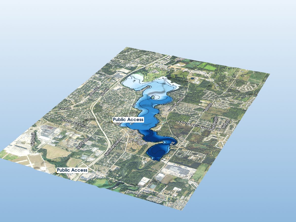
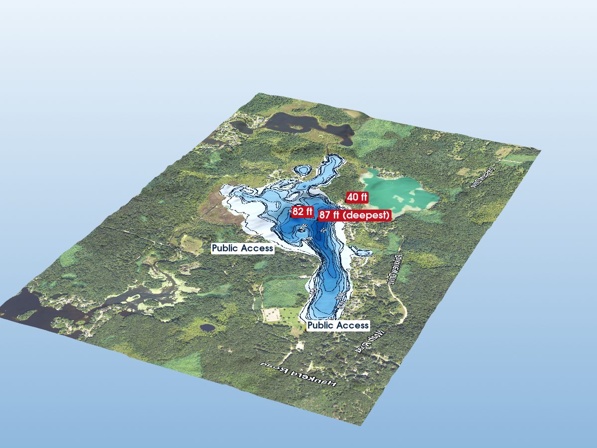
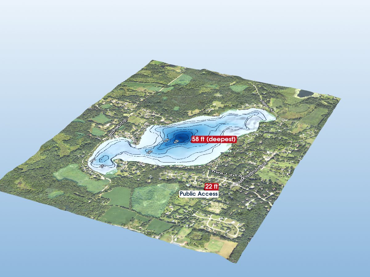
Belleville Lake
Washtenaw County, Michigan · MI DNR bathymetric survey
30ft
Max
depth
depth
1,345 acres
4 contours
Public access
Get directions
Depth scale
The lake
Survey readout
Measured from the Michigan DNR inland-lake contour survey (depths read from the survey's isobath field; this lake's summary-depth column is blank in the source).
- Maximum depth
- 30 ft
- Surface area
- 1,345 acres
- Shoreline
- 20.85 mi · irregular
- Surveyed contours
- 4 isobaths · 0–30 ft
- Deepest soundings
- —
- Aquatic vegetation
- 15% of surface · NAIP NDVI
- Public access
- Boat Launch · Rec Passport
Location
Washtenaw County, Michigan · tap a dot for that lake
Chart data
Provenance
All layers registered to one bounding box; positions in WGS 84.
- Coordinates
- 42.21115, -83.49590
- MI DNR lake ID
- L22145
- Vertical exaggeration
- 2.66×
- Basemap
- USDA NAIP · public domain
- Model size
- 2.3 MB
Sunset tonight
—
Sunrise tomorrow
—
Computed for this lake’s coordinates.
How this map was made
Real DNR depth soundings drape over USGS 3DEP elevation, with a USDA NAIP aerial basemap and OpenStreetMap shoreline. Colour shows surveyed depth; dark lines are the survey's own isobaths.
Sources: MI DNR inland lake contours, USGS 3DEP, USDA NAIP (public domain), OpenStreetMap (ODbL), MI DNR Boat Launches.
⚠ Not for navigation