Michigan · Washtenaw County
Washtenaw County lake maps & depth charts
Explore 47 lakes as 3D depth maps, built from Michigan DNR bathymetric surveys — surveyed depth draped over real elevation and aerial imagery.
Featured depth maps
Where the lakes are
Dot size and shade follow max depth: under 15 ft 100 ft and deeper
All 47 mapped lakes in Washtenaw County; deepest is South Lake at 88 ft. Tap a dot to open that lake.
Depth (ft)
–
Acreage
–
Max weeds (aquatic veg %)
%
County
Fish species (surveyed lakes)
Surveyed since (fishery)
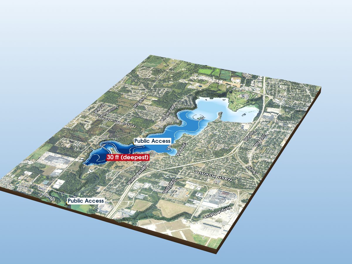
Ford Lake
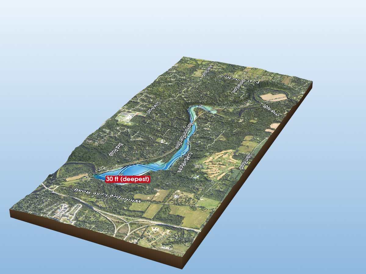
Barton Pond
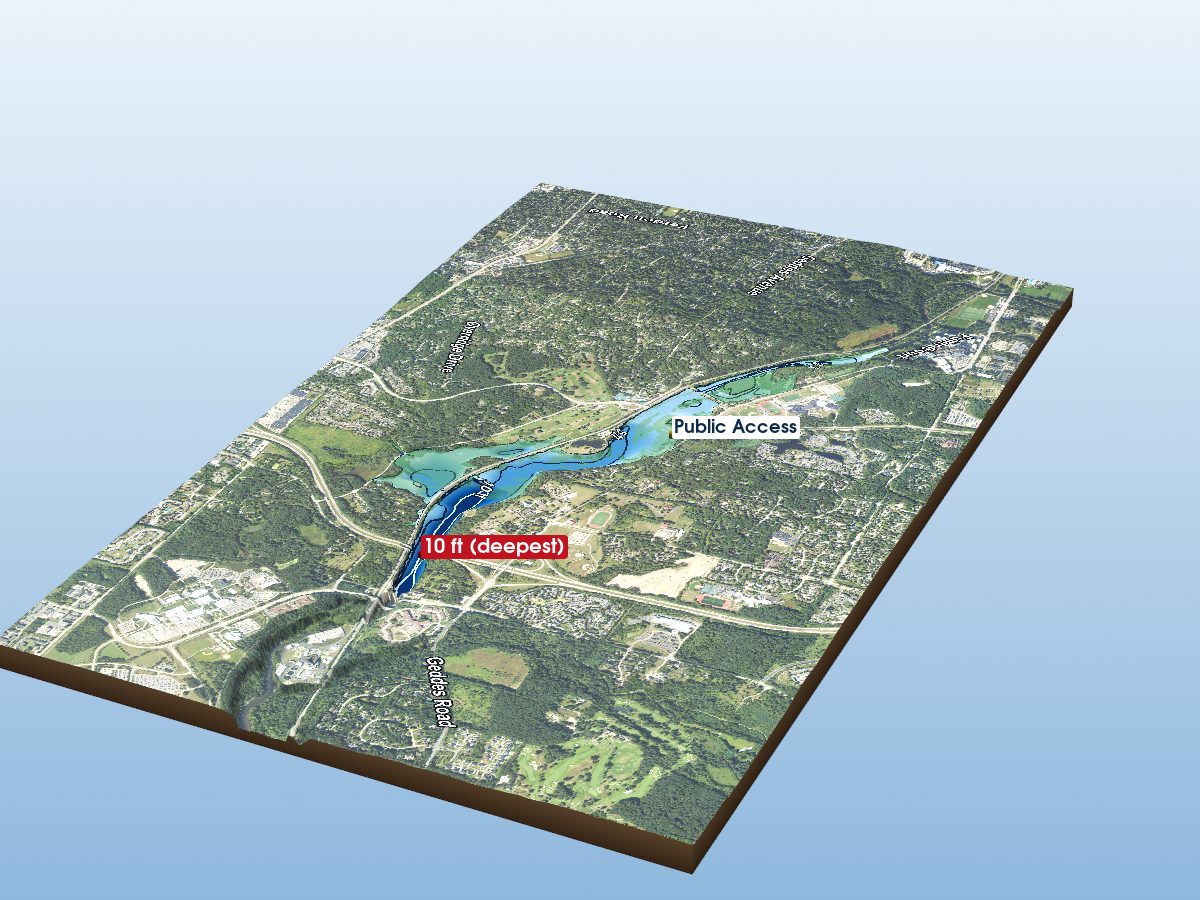
Geddes Pond
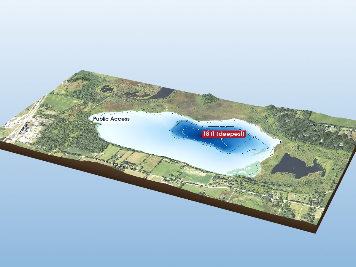
Fourmile Lake
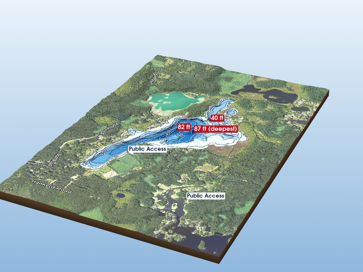
Halfmoon Lake
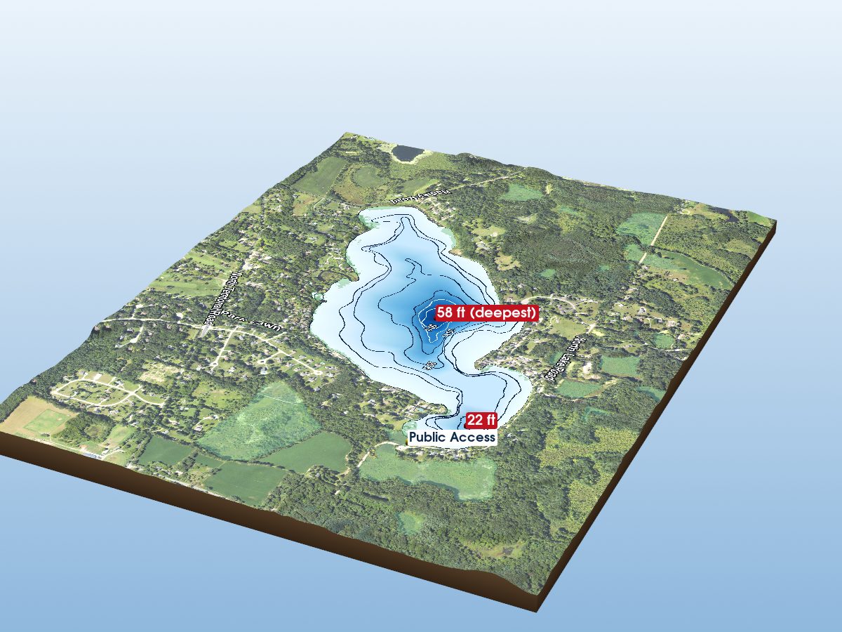
North Lake
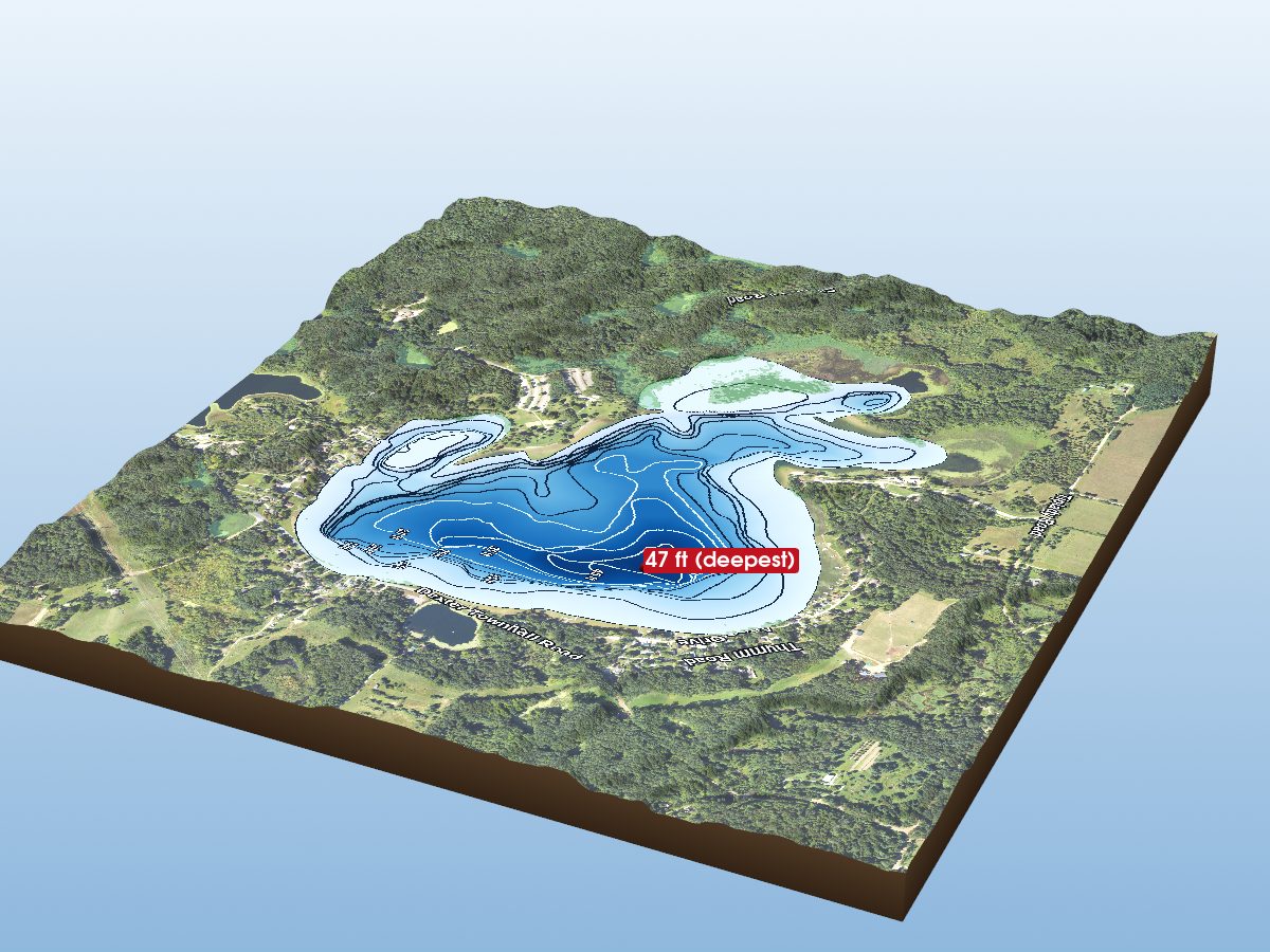
Silver Lake
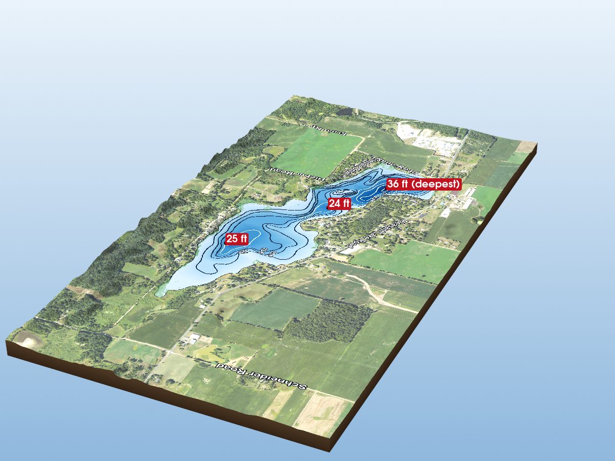
Pleasant Lake
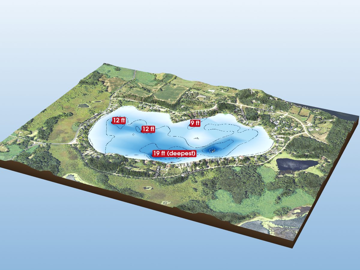
Cavanaugh Lake
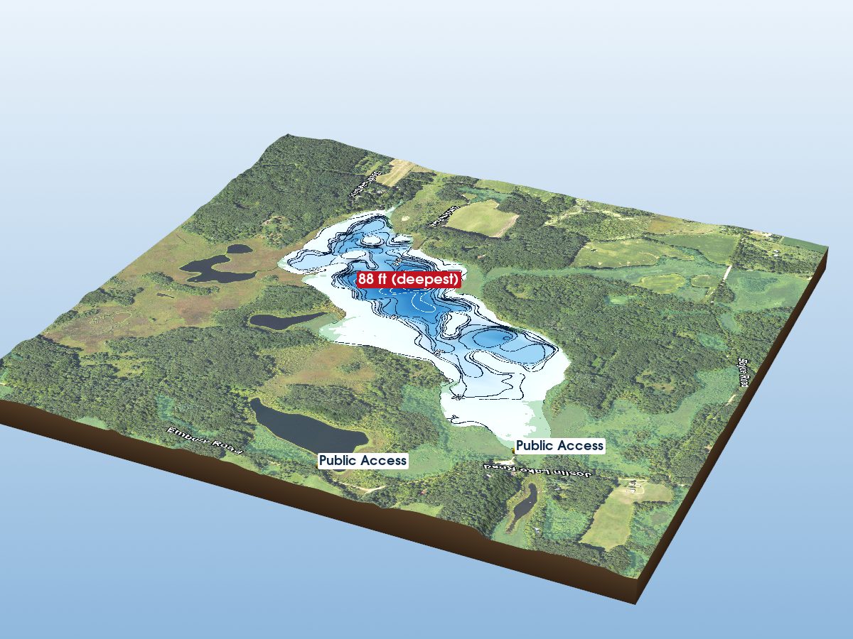
South Lake
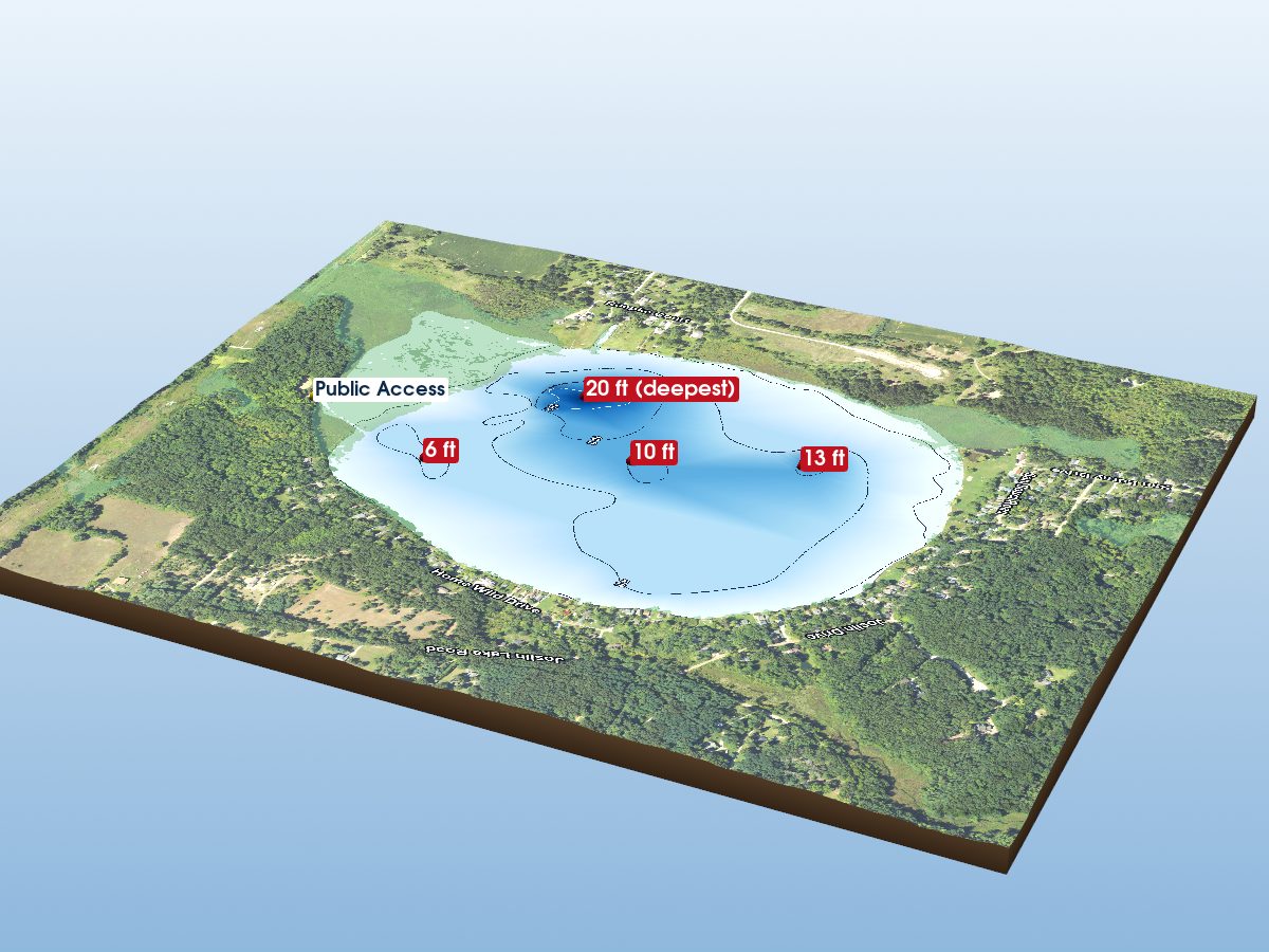
Joslin Lake
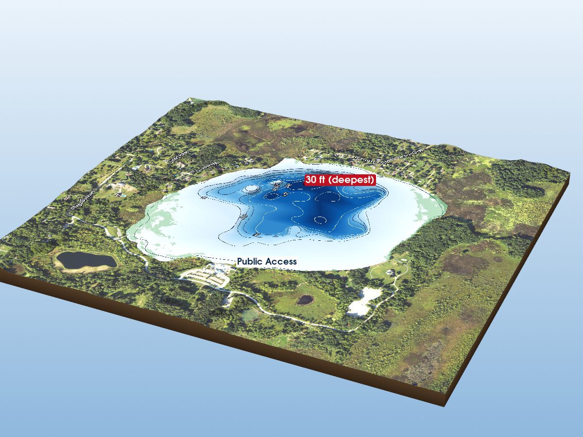
Independence Lake
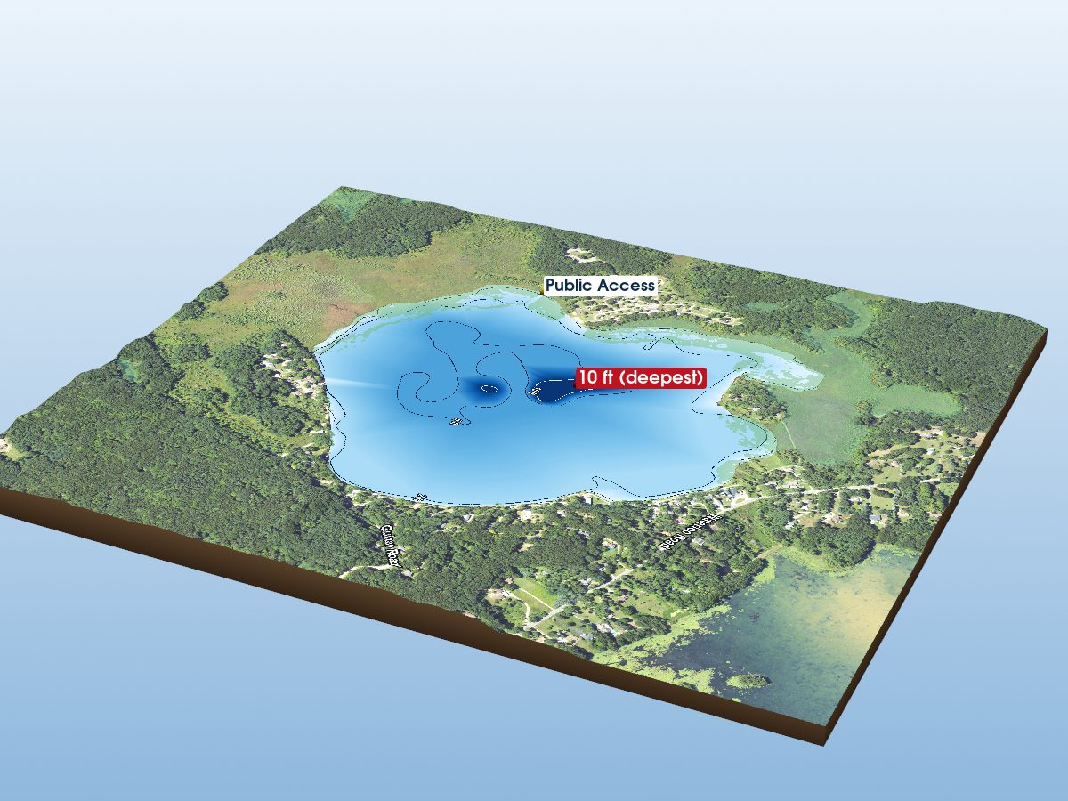
Sugarloaf Lake
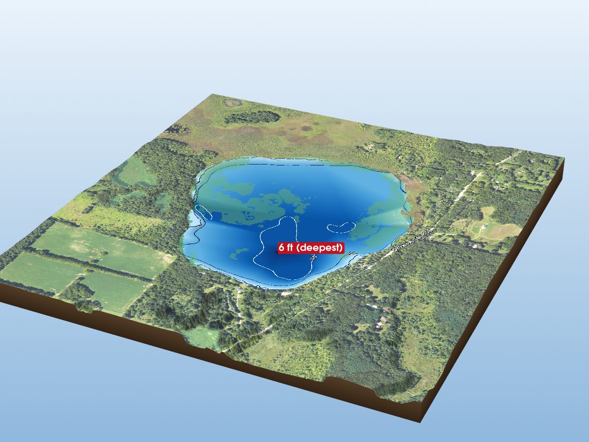
West Lake
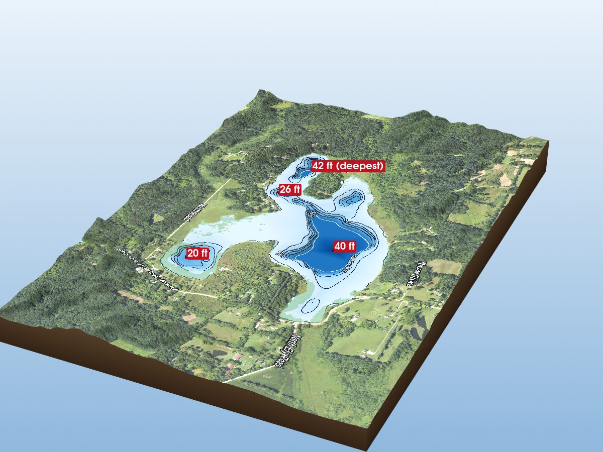
Iron Mill Pond
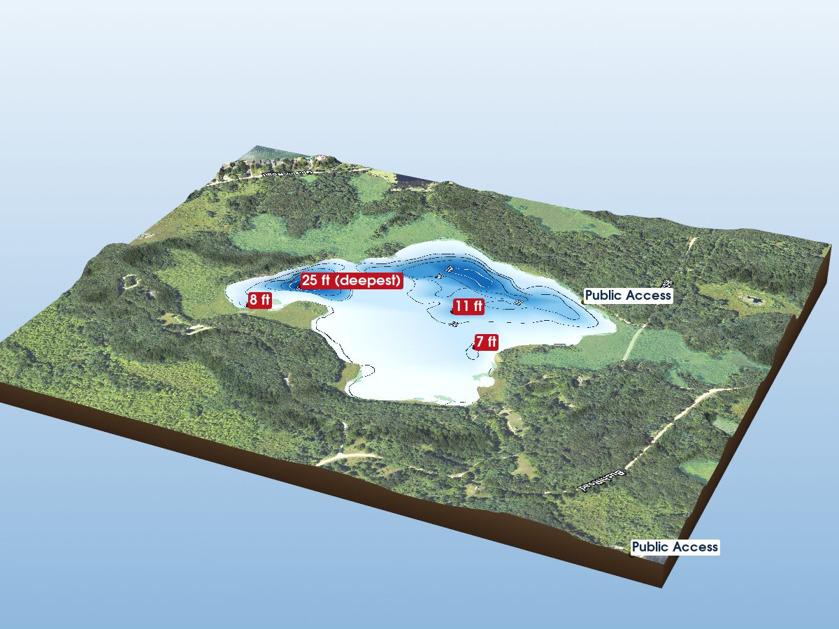
Mill Lake
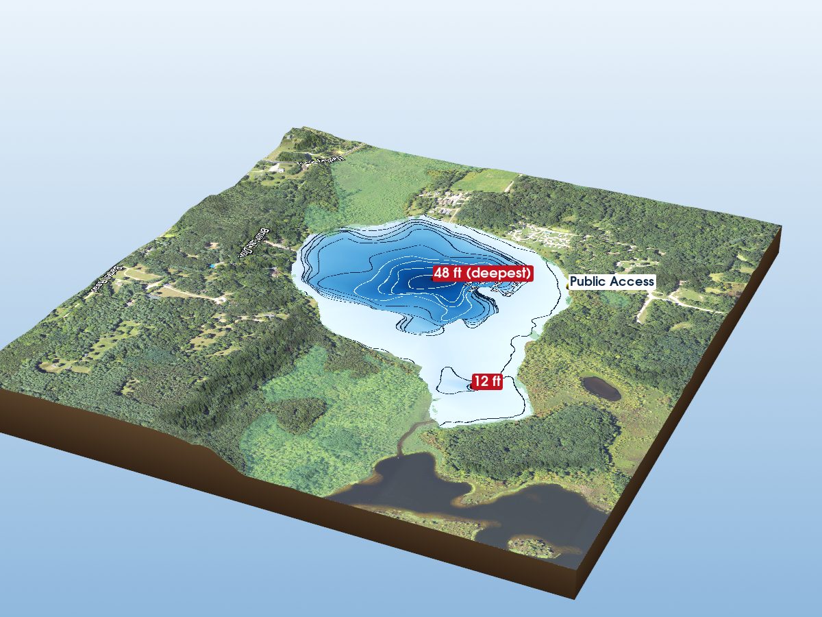
Bruin Lake
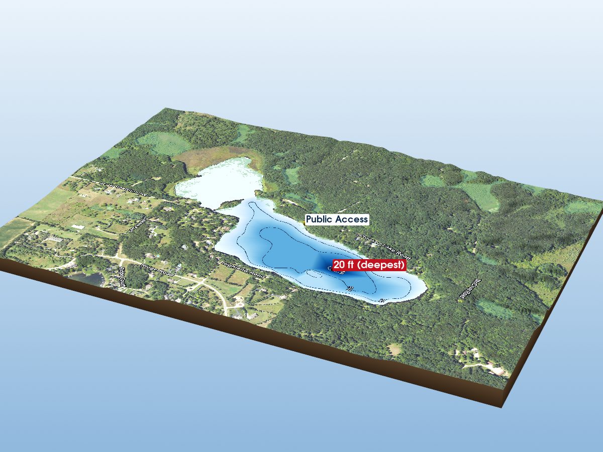
Crooked Lake
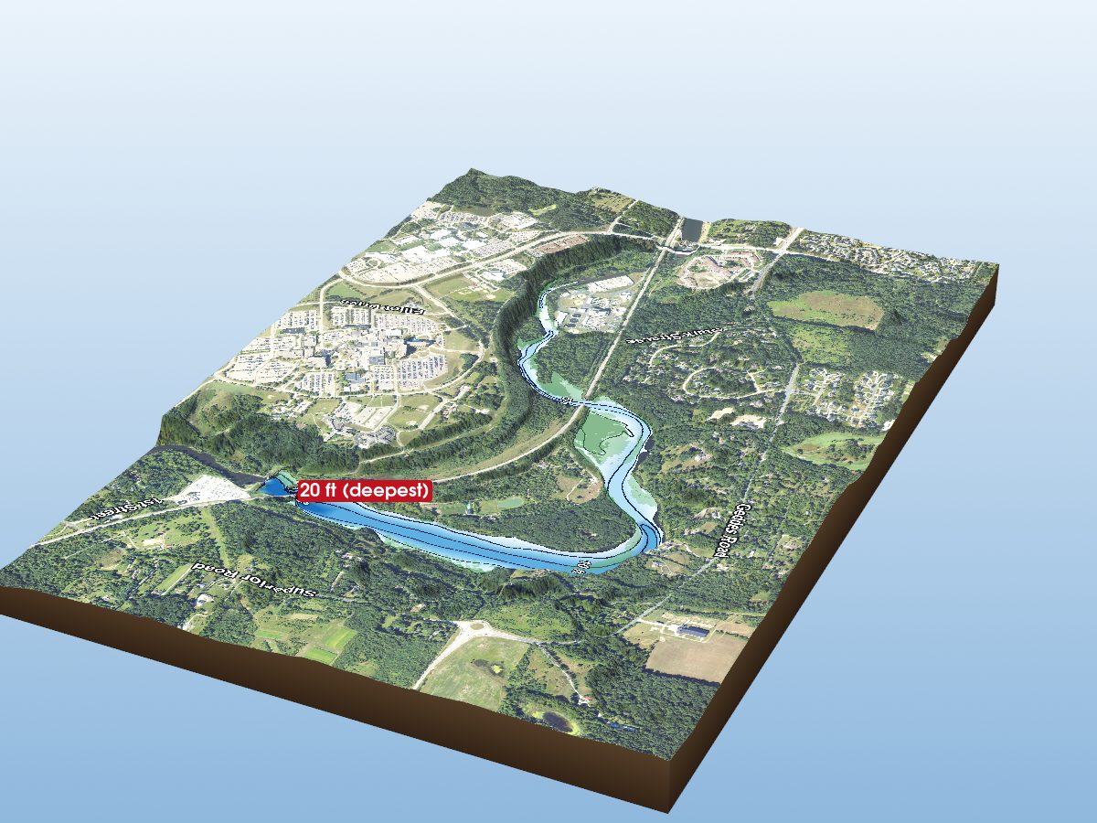
Superior Pond
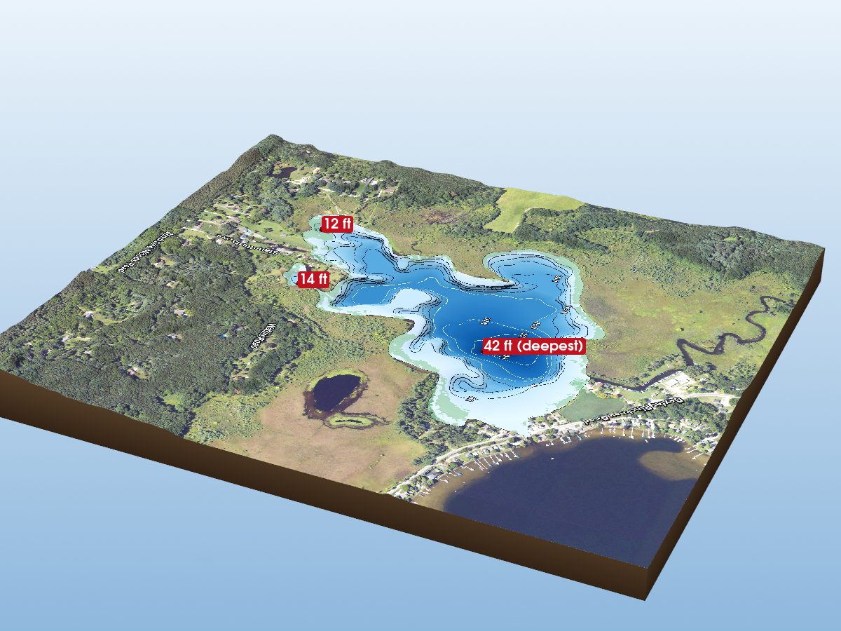
Little Portage Lake
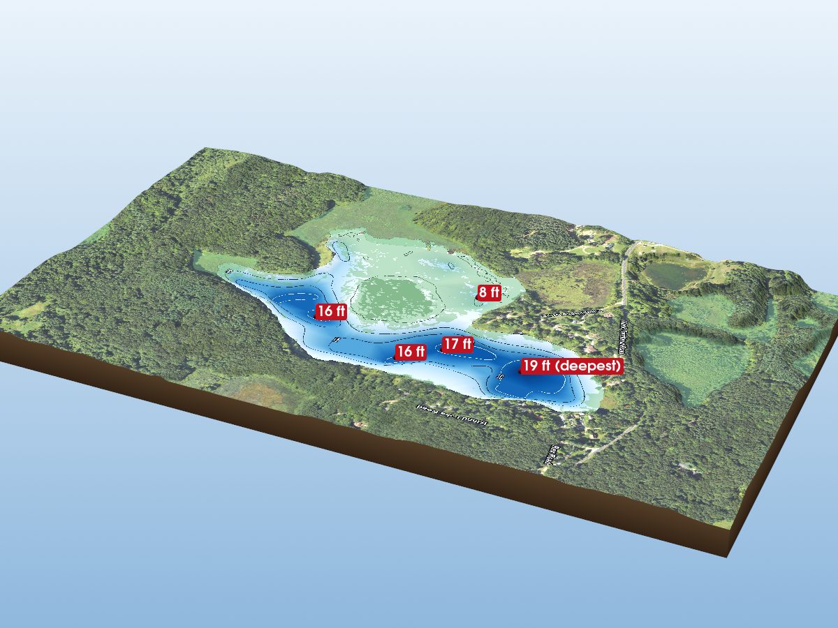
Island Lake
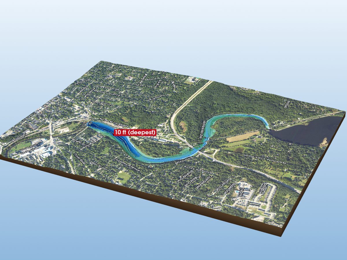
Argo Pond
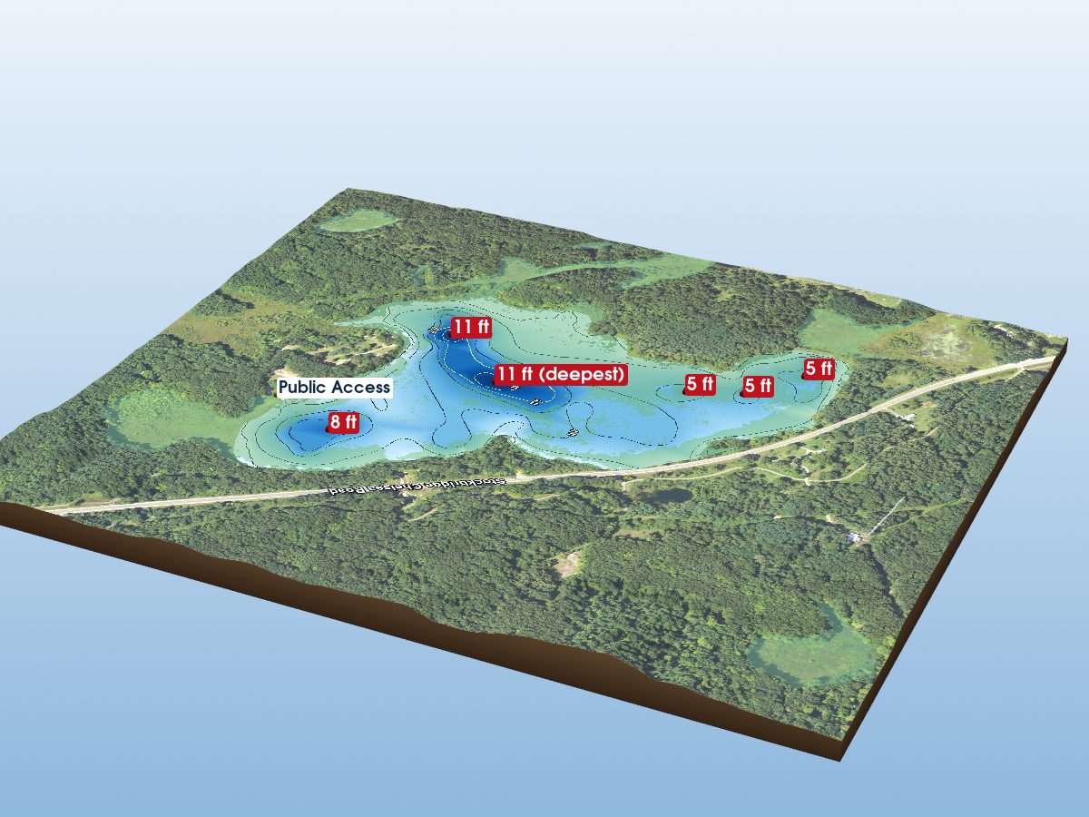
Green Lake
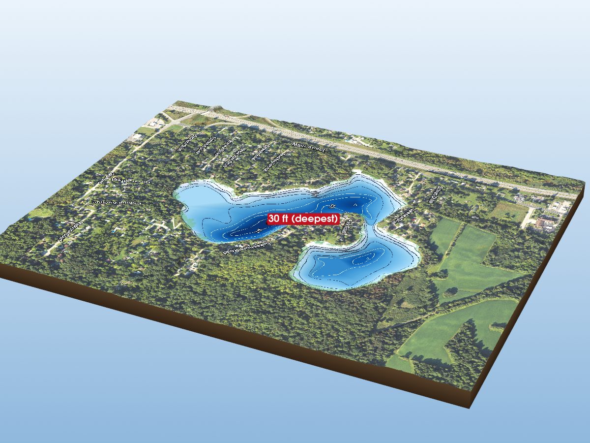
Horseshoe Lake
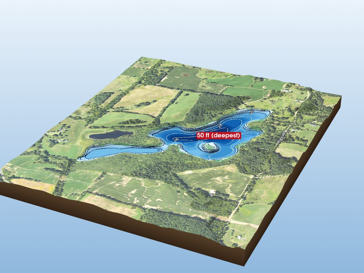
Columbia Lake
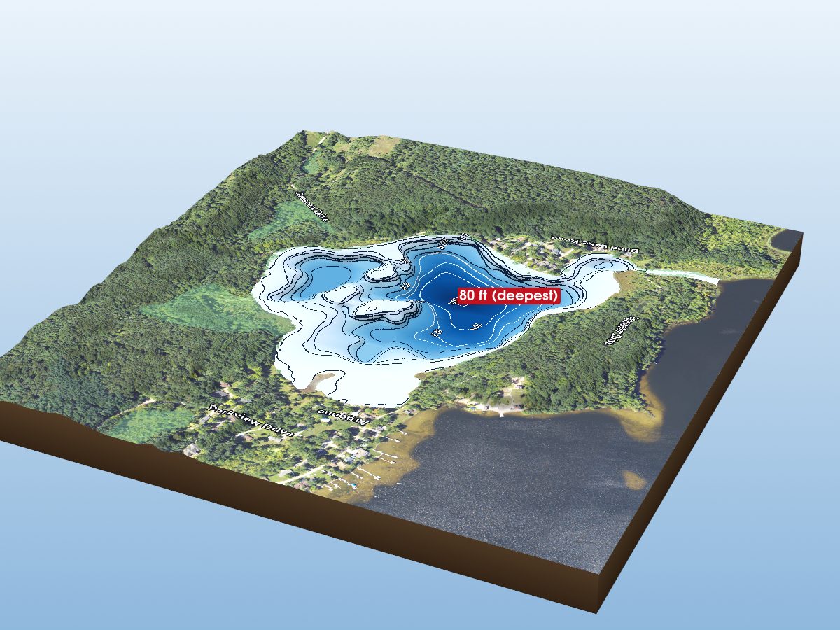
Blind Lake
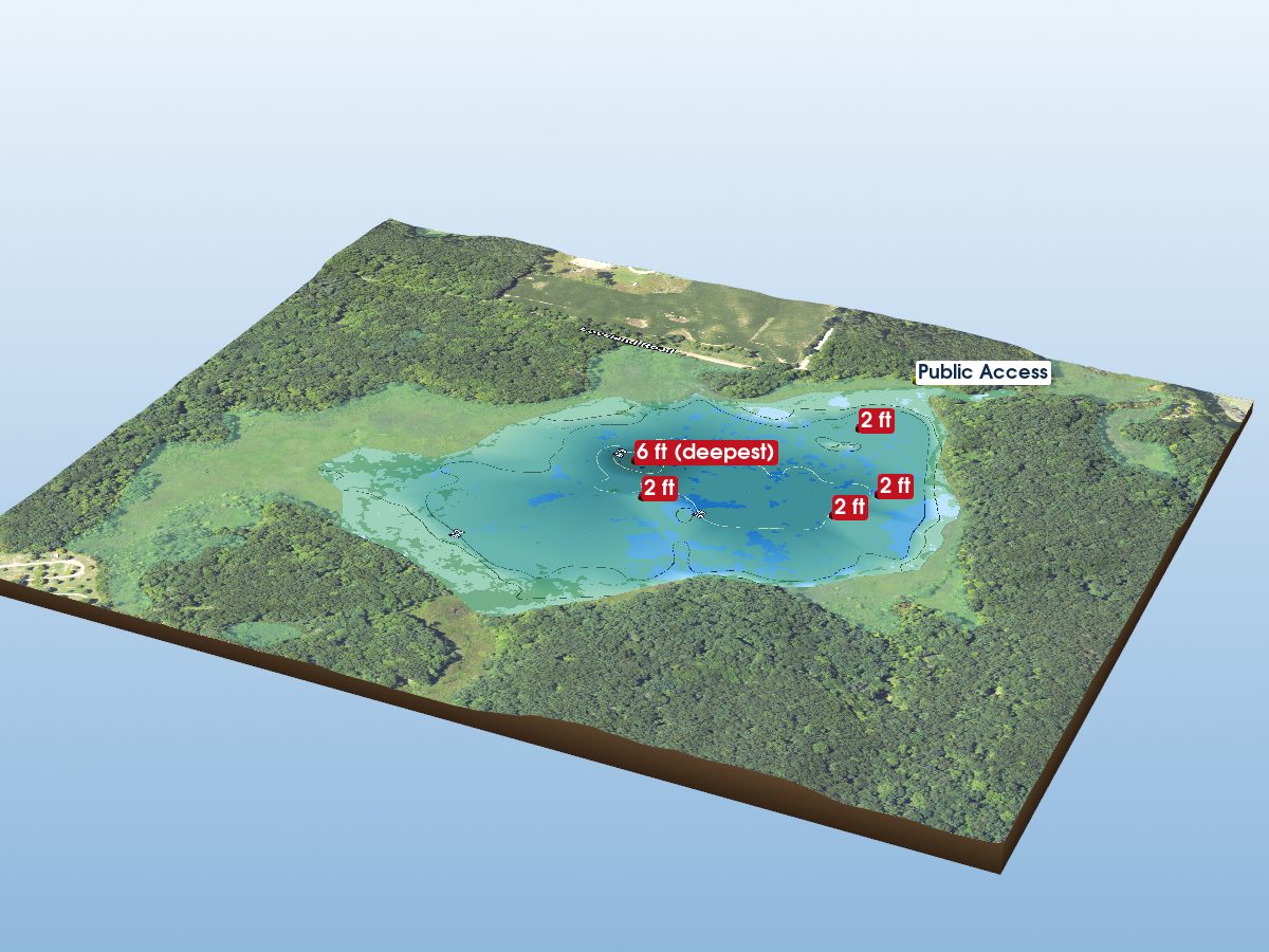
Mud Lake
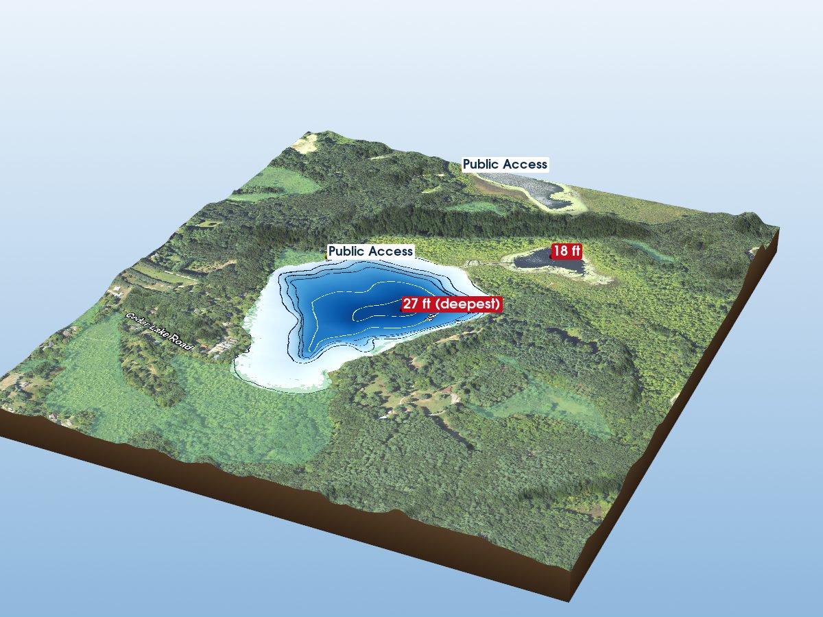
Cedar Lake
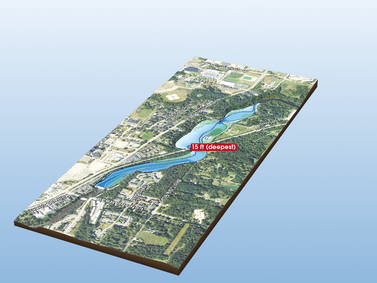
No Name
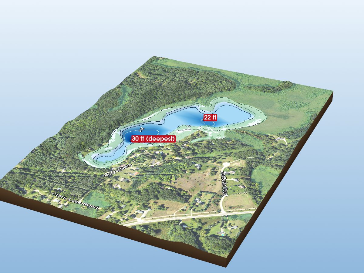
Long Lake
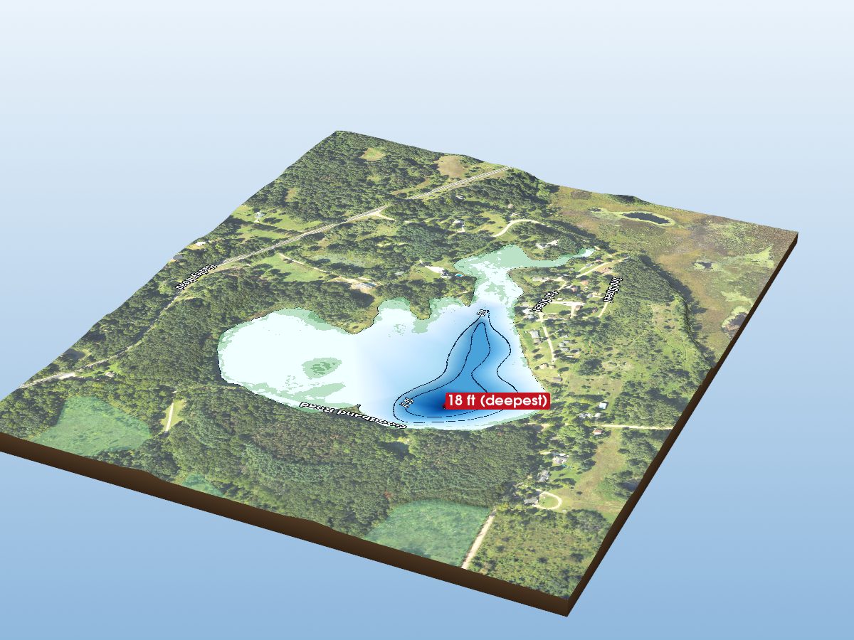
Wild Goose Lake
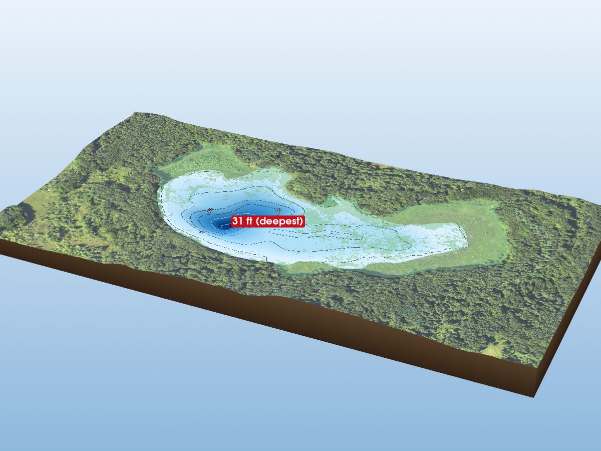
Gorman Lake
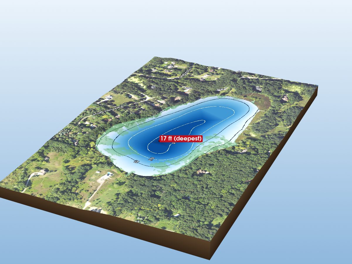
Parks Lake
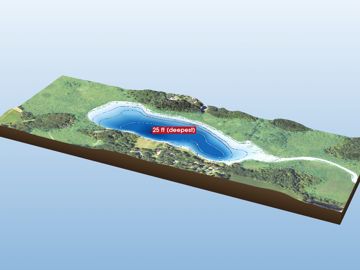
Ellsworth Lake
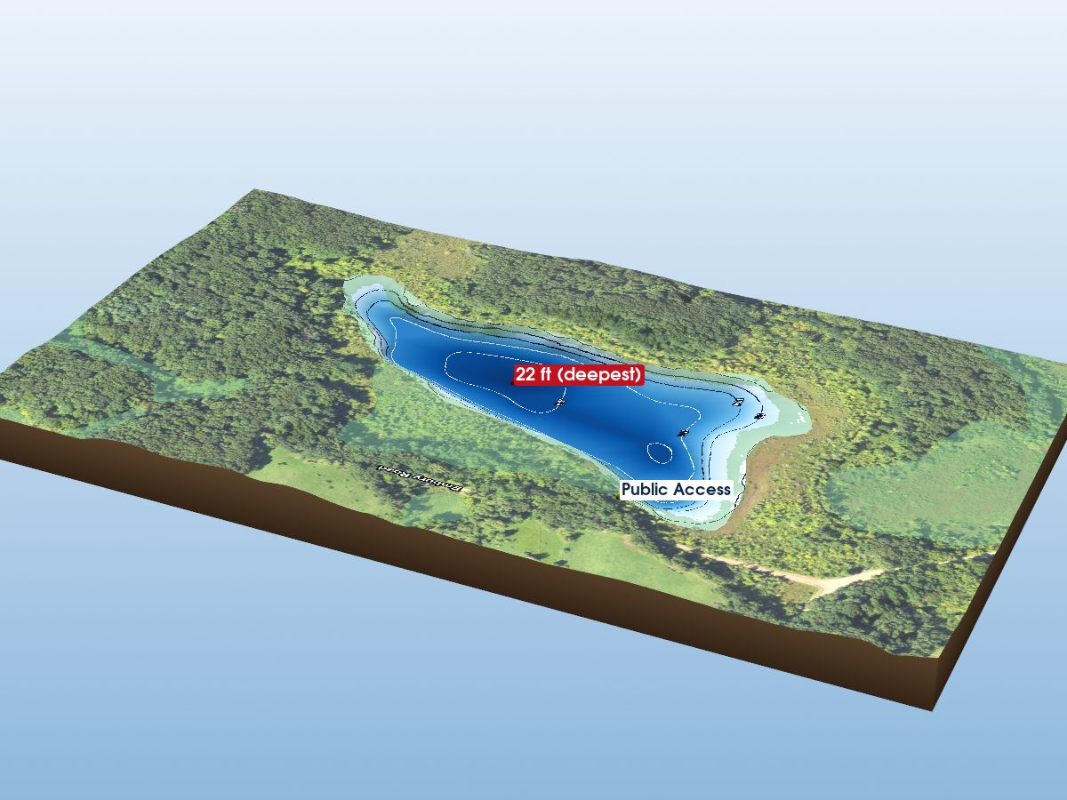
Sullivan Lake
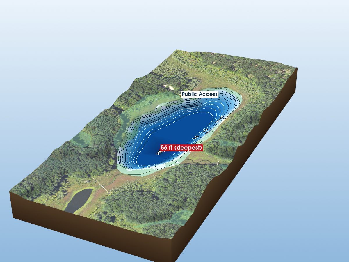
Pickerel Lake
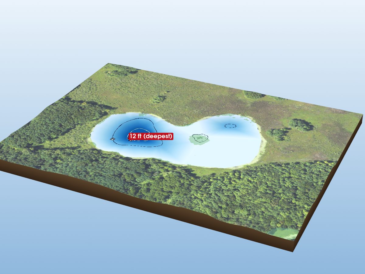
Winnewana Lake
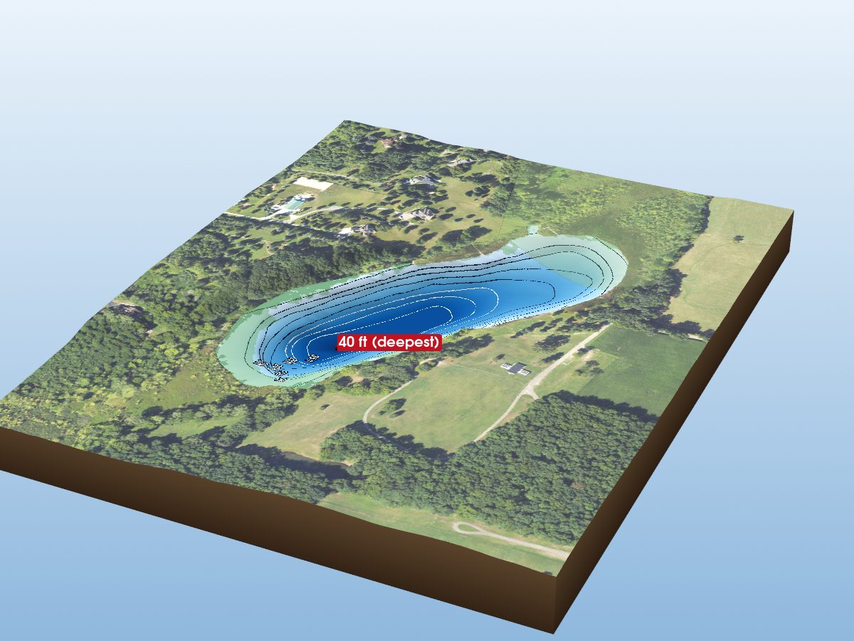
Murray Lake
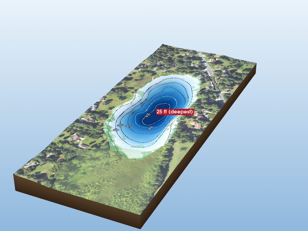
Frain Lake
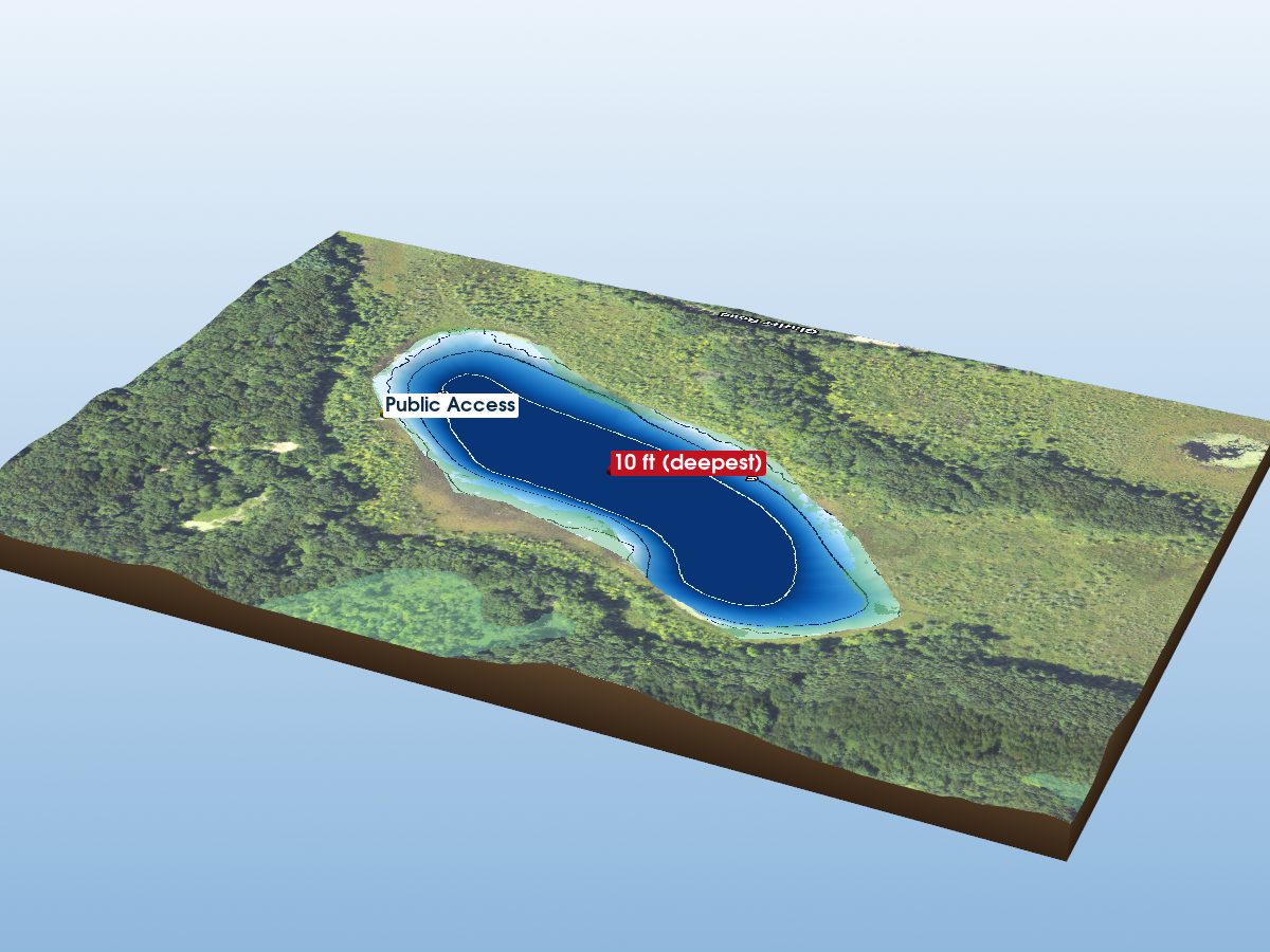
Doyle Lake
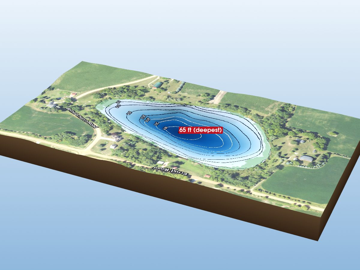
Silver Lake
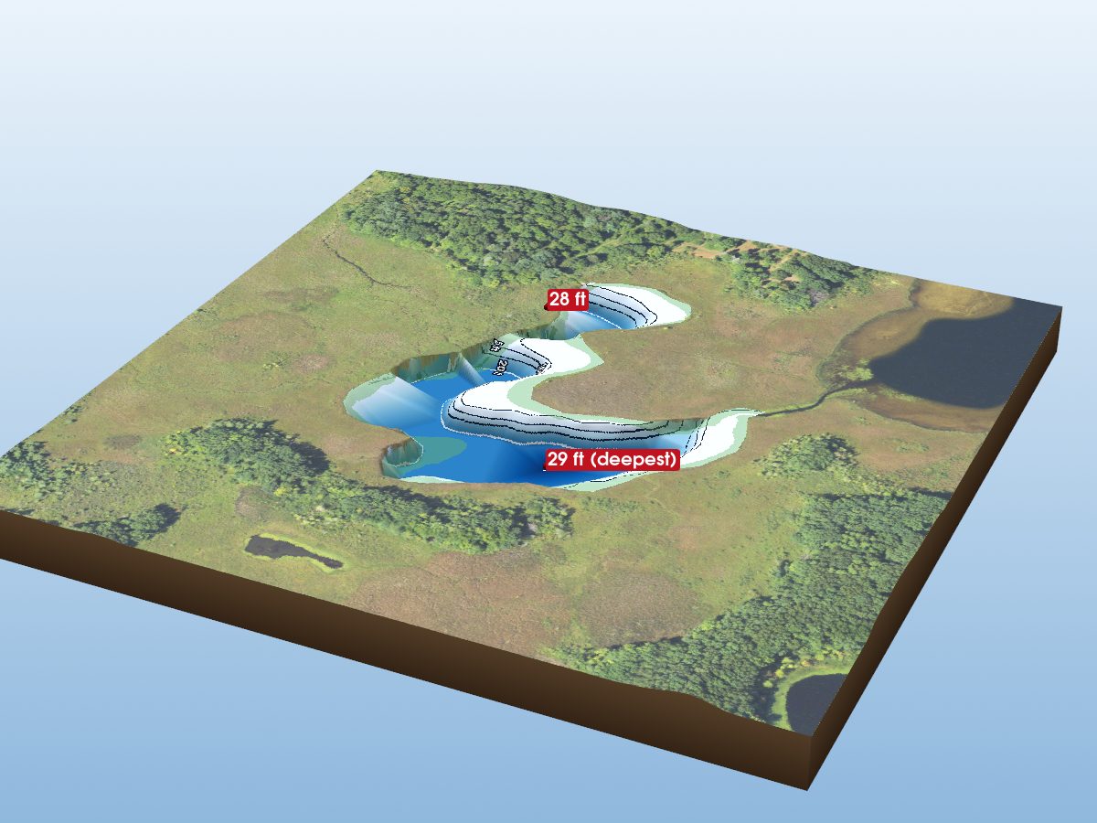
Snyder Lake
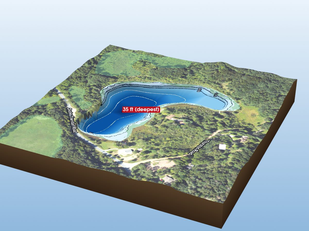
Losee Lake
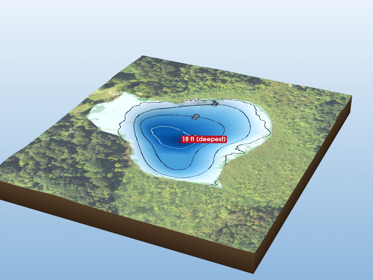
Twamley Lake
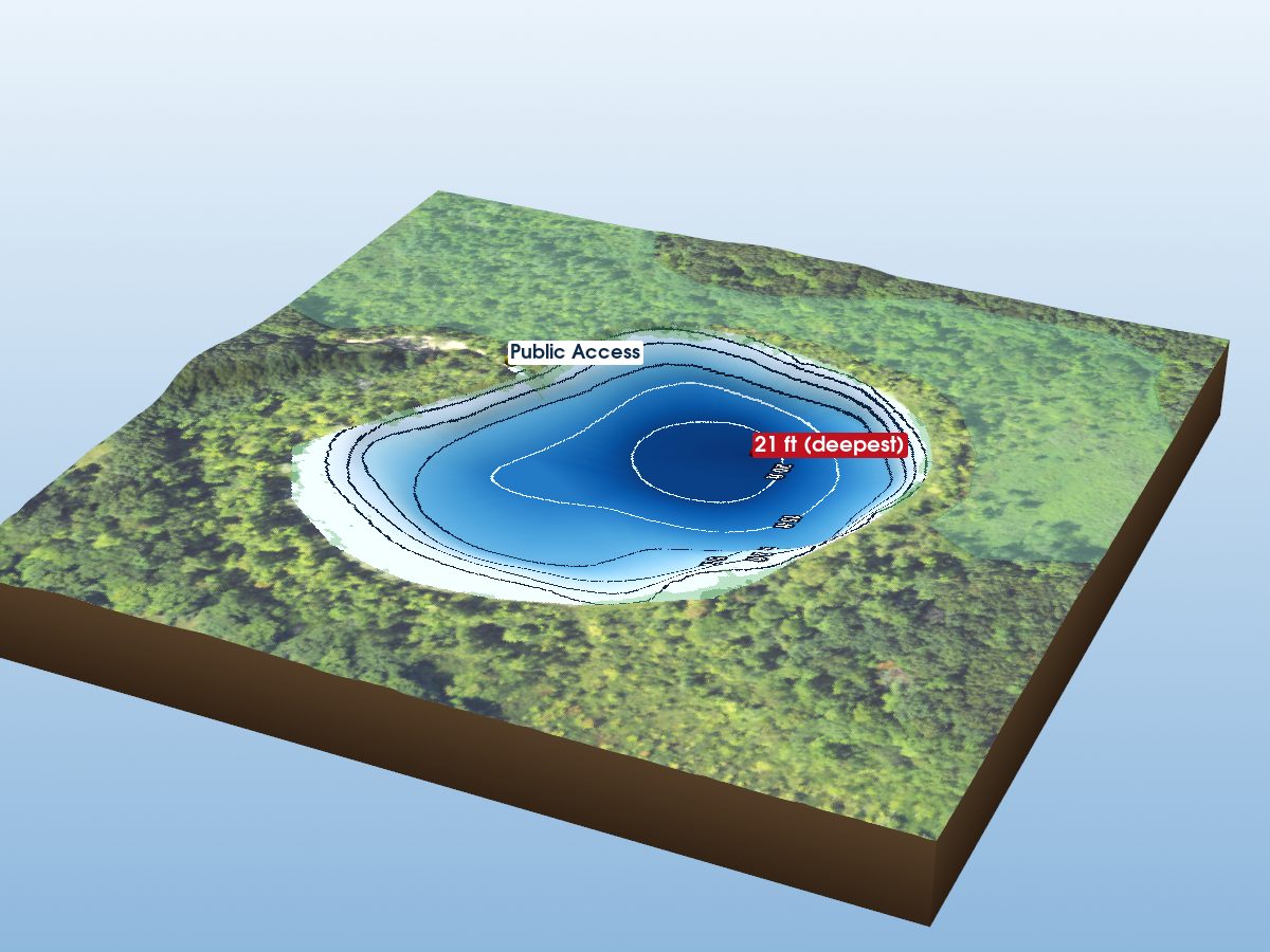
Walsh Lake
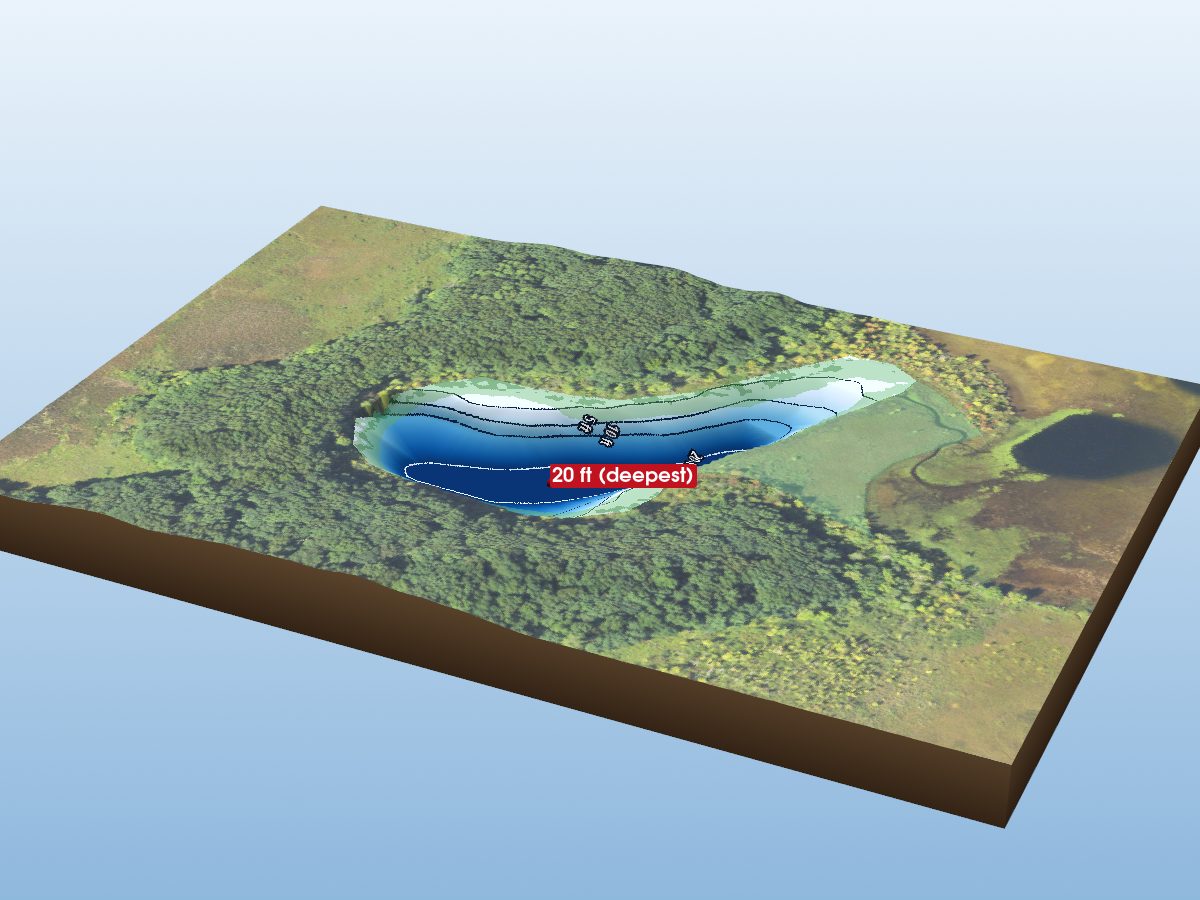
Eagle Lake
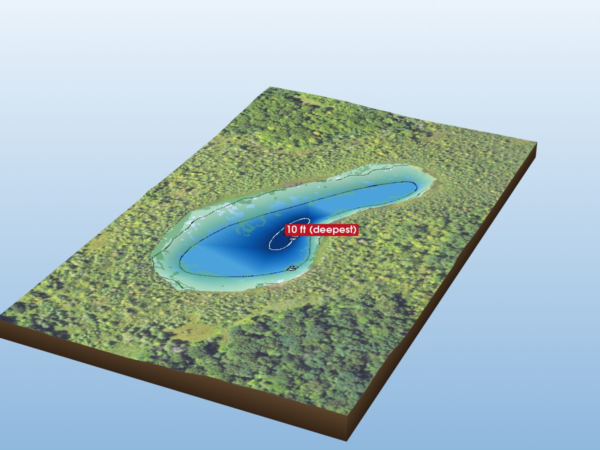
Hankard Lake