Maple Lake
depth
Get directions
Depth scale
Survey readout
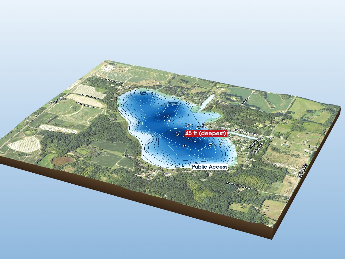
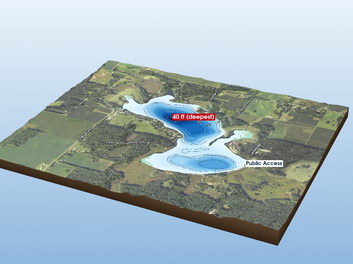
Maple Lake is mapped to a depth of 15 ft on the Michigan DNR survey and covers about 181 acres in Van Buren County, Michigan.
Measured from the Michigan DNR inland-lake contour survey (depths read from the survey's isobath field; this lake's summary-depth column is blank in the source).
- Deepest sounding
- 15 ft
- Mean depth
- 7 ft · estimated
- Surface area
- 181 acres
- Estimated volume
- 1,266 acre-ft · 413M gal
- Shoreline
- 3.88 mi · irregular
- Aquatic vegetation
- 6% of surface · NDVI estimate
- Public access
- No public DNR launch identified
Additional depth details4 contours
- Contour depths
- 0–15 ft
- Recorded point soundings
- 15 ft, 15 ft, 15 ft, 5 ft, 5 ft, 4 ft
64.3% of the surface sits over water shallower than 10 ft. Depth, area and volume are estimated from the interpolated survey surface — historical reference, not measurement.
Compare with another lakeProvenance
Sources: MI DNR inland lake contours, USGS 3DEP, USDA NAIP (public domain), OpenStreetMap (ODbL), MI DNR Boat Launches.
⚠ Not for navigationSpot an error? Send a correction
Map details & sources5 sources
All layers registered to one bounding box; positions in WGS 84.
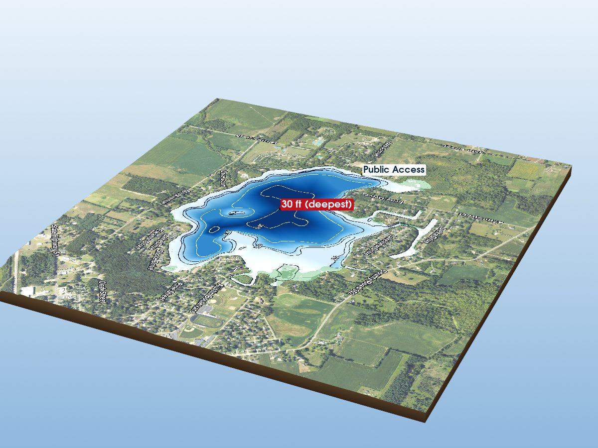
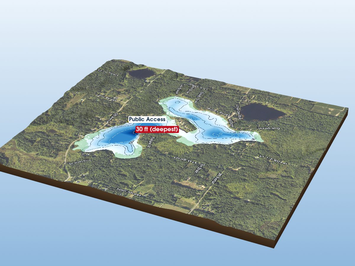
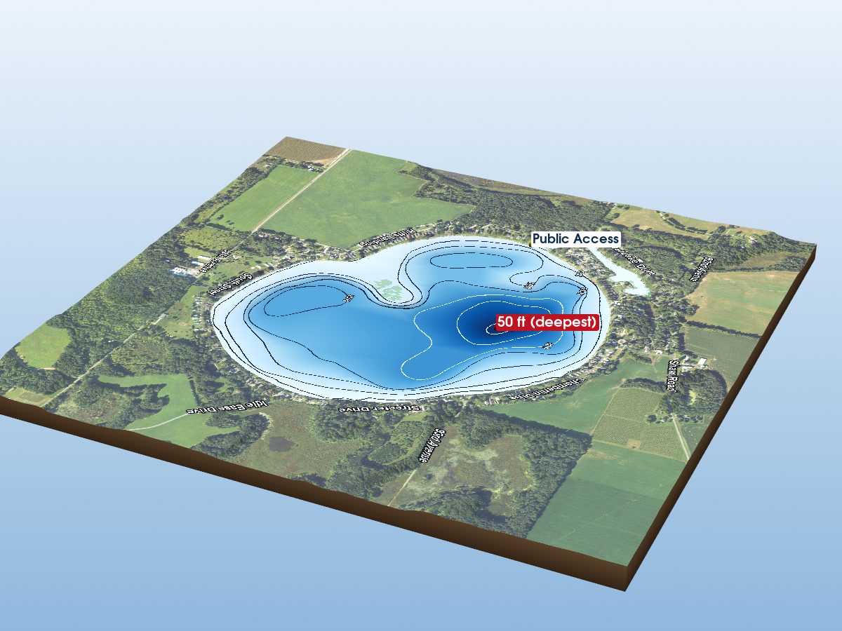
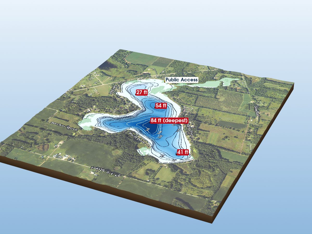
Survey-derived depth contours drape over USGS 3DEP elevation, with a USDA NAIP aerial basemap and OpenStreetMap shoreline. Colour shows surveyed depth; dark lines are the survey's own isobaths.
- Coordinates
- 42.22826, -85.89043
- MI DNR lake ID
- L23204
- Vertical exaggeration
- 3.0×
- Basemap
- USDA NAIP · public domain
- Model size
- 2.3 MB
Paddling
Paddling Index methodology v1.0 · calculated 2026-08-21Maple Lake has a substantially developed setting, generally sheltered geometry, substantial nearby higher-volume roads. No special watercraft restriction is identified in the current source.
Why this score?5 components
Included in the index
| Component | Rating | Points of weight | Measurement |
|---|---|---|---|
| Natural setting | Modest | 0.7 of 35 | 18% natural land cover within 150 m of shore (8% forest, 9% wetland; 74% developed) |
| Geometric wind exposure | Very Good | 20.1 of 29 | mean fetch 892 m · 13% of sampled water within 500 m of shelter · generally short fetch |
| Watercraft controls | None identified | 8.8 of 18 | No special watercraft restriction identified in the current DNR source. Motors permitted, subject to general law. |
| Public access | Not listed | — | No DNR-listed access site. Township, county and road-end launches are not in this source, so this is not evidence that access is poor — the component is excluded and the remaining weights are renormalized. |
| Road isolation | Modest | 0.9 of 18 | substantial nearby higher-volume roads · 153 MDOT-classified segments within 1.2 km, peak 40,669 vehicles/day |
Additional paddling considerations
These describe the lake but are not part of the v1 Paddling Index and do not change the number above.
- Wake sensitivity
- Low — wide enough that wakes disperse over most of the lake
- Aquatic vegetation
- Low — approximately 6% mapped coverage · NAIP aerial imagery (NDVI)
- Observed motorized activity
- Unknown — No lake-level measurement of boat traffic is available. Legal permission to operate motors is not evidence of use.
- Wildlife habitat potential
- Limited — 8% forest and 9% wetland cover within 150 m of shore
Compare Michigan lakes by Paddling Index →
Fish you might catch
from angler catches, DNR surveys & active stocking10 species with recent evidence in this lake — sized relative to each other. Illustrations are AI-generated representative adults in everyday colours, not photographs (provenance).
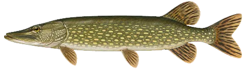 Northern Pike
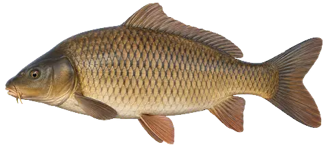 Common Carp
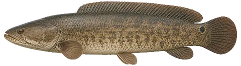 Bowfin
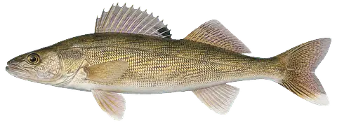 Walleye
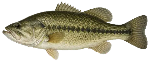 Largemouth Bass
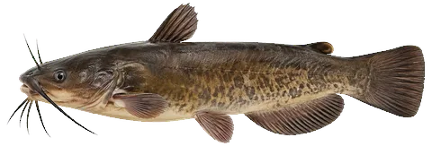 Bullhead
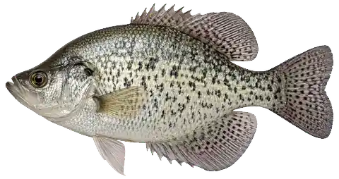 Black Crappie
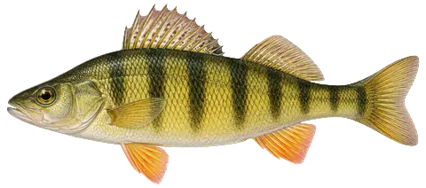 Yellow Perch
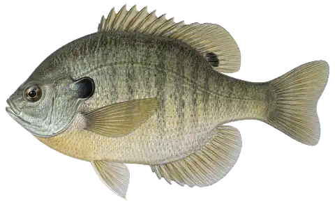 Bluegill
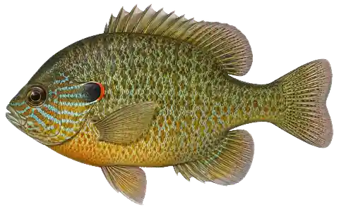 Pumpkinseed
Fishing rules for this lake Beta
Size and daily limits for the 10 species found here — 10 open to harvest.
These are hook-and-line size, daily limit and season rules. Gear, spearing and bow fishing, spawning closures and rod limits are set by other Fisheries Orders and are not shown here.
From FO-206.26 (eff. 2026-04-01) / FO-215.23A (eff. 2023-09-15) / FO-254.25 (eff. 2025-10-10), checked against the 2026 Michigan Fishing Regulations digest · verified 2026-08-24. Regulations can change — Michigan DNR rules are the controlling source; verify current regulations before fishing. Official regulations
Notable catches
Master Angler program · 1998–2025Trophy-size fish anglers caught here and registered with the DNR — what people have actually caught, distinct from what a survey netted or the state stocked below.
Catch details by species7 species
Biggest on record
Bait: crawler (8) · live bait (7) · artificial lure (3)
Method: still fishing (17) · trolling (3) · spincasting (2)
Fishery
DNR SFR 2000-10Gamefish
Panfish
DNR stocking
state stocking record · 1980–2016Fish the Michigan DNR has planted in this lake — what was added, distinct from what a survey netted above.
Non-native species records
No non-native species recorded in the available dataset. This does not confirm that no non-native species are present.
Source: Midwest Glacial Lakes Partnership Conservation Planner; underlying nonindigenous species records from the USGS Nonindigenous Aquatic Species database.
Public fishing access
MI DNR family-friendly fishingCity-managed · Free · Modern restrooms · Paved parking
Amenities: Boat launch, picnic tables
“Water clarity: Turbid, poor visibility Maximum depth: 15 feet Ramp is on northeast shore in park. There is also an island that provides shore fishing opportunities.”
At the lake
community-mapped amenities · straight-line distanceBait & tackle nearby
licensed retail bait dealers · straight-line distanceMaple Lake — common questions
How deep is Maple Lake?
The deepest contour on the Michigan DNR bathymetric survey of Maple Lake is 15 ft. That is the deepest depth the historical survey map records, which may differ from the deepest point of the lake itself.
How big is Maple Lake?
Maple Lake covers about 181 acres in Van Buren County, Michigan.
What is the average depth of Maple Lake?
The estimated mean depth of Maple Lake is 7 ft, calculated from the survey contours.
What fish are in Maple Lake?
Species with survey, catch or recent-stocking evidence include largemouth bass, northern pike, walleye, black crappie, bluegill, bowfin. The page lists all 10 species and the evidence behind each.
Is there public access to Maple Lake?
No public launch for Maple Lake appears in the Michigan DNR access data. That is not the same as the lake being private -- municipal and private ramps are not in that source.