Michigan · Jackson County
Jackson County lake maps & depth charts
Explore 36 lakes as 3D depth maps, built from Michigan DNR bathymetric surveys — surveyed depth draped over real elevation and aerial imagery.
Featured depth maps
Where the lakes are
Dot size and shade follow max depth: under 15 ft 100 ft and deeper
All 36 mapped lakes in Jackson County; deepest is Swains Lake at 60 ft. Tap a dot to open that lake.
Depth (ft)
–
Acreage
–
Max weeds (aquatic veg %)
%
County
Fish species (surveyed lakes)
Surveyed since (fishery)
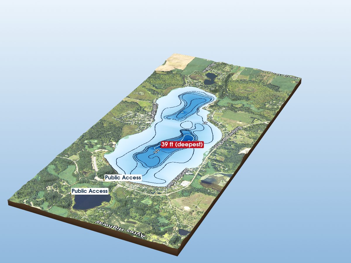
Wamplers Lake
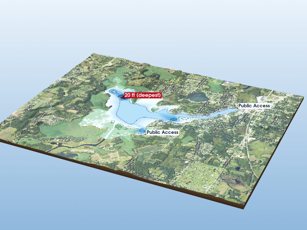
Center Lake
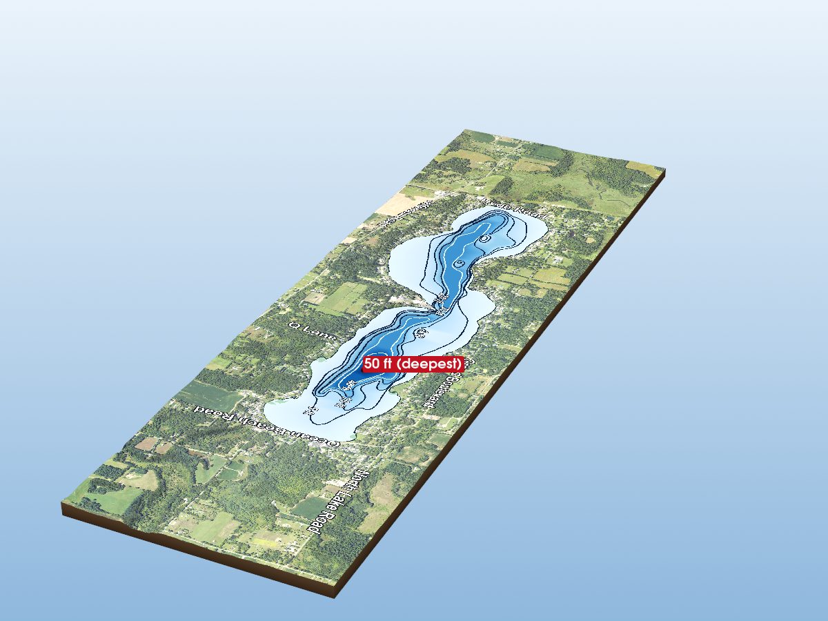
Clark Lake
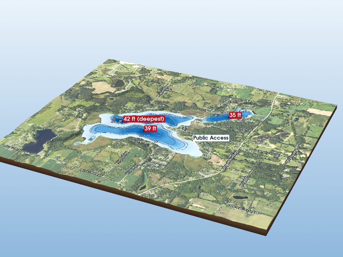
Vineyard Lake
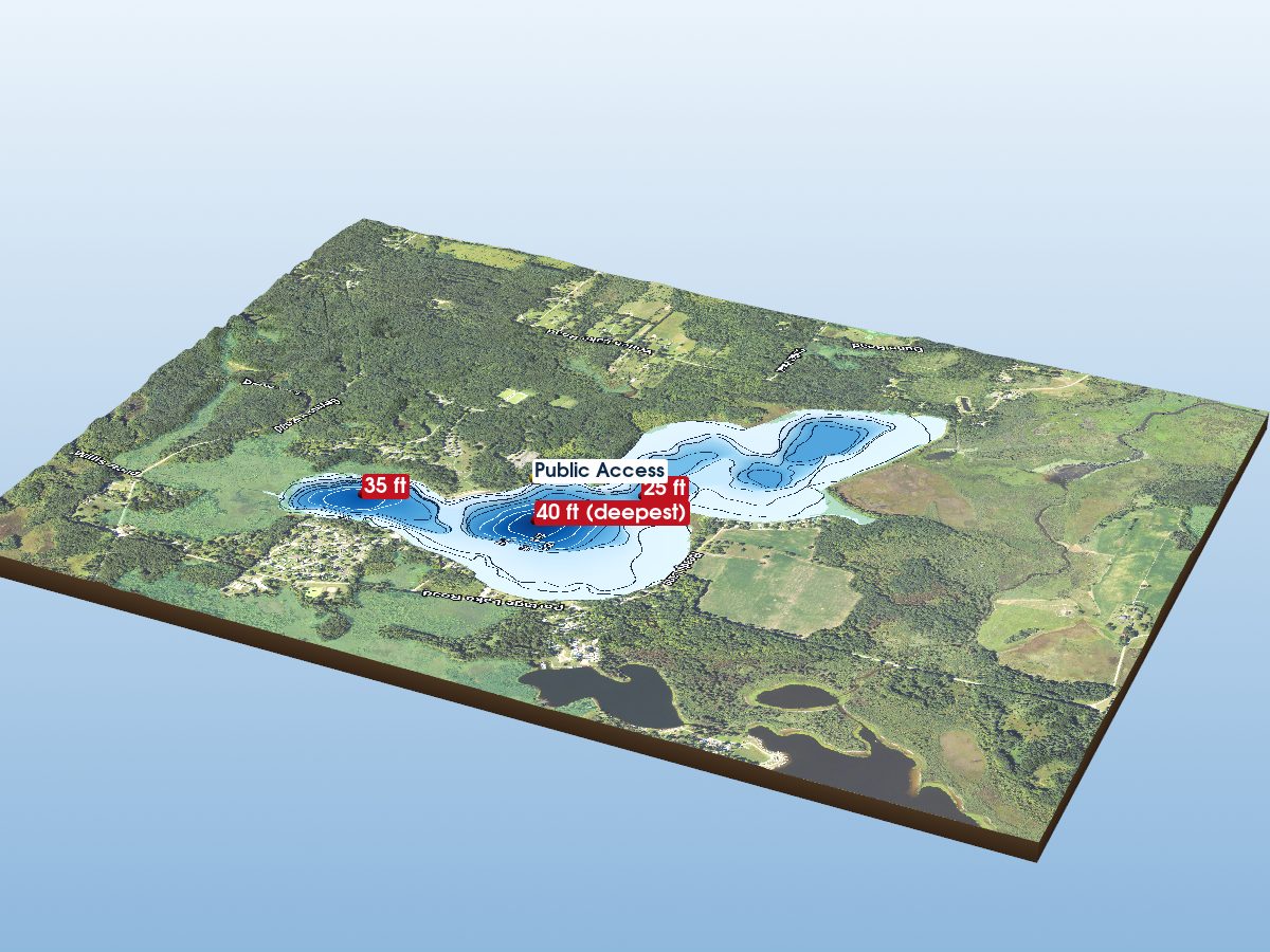
Portage Lake
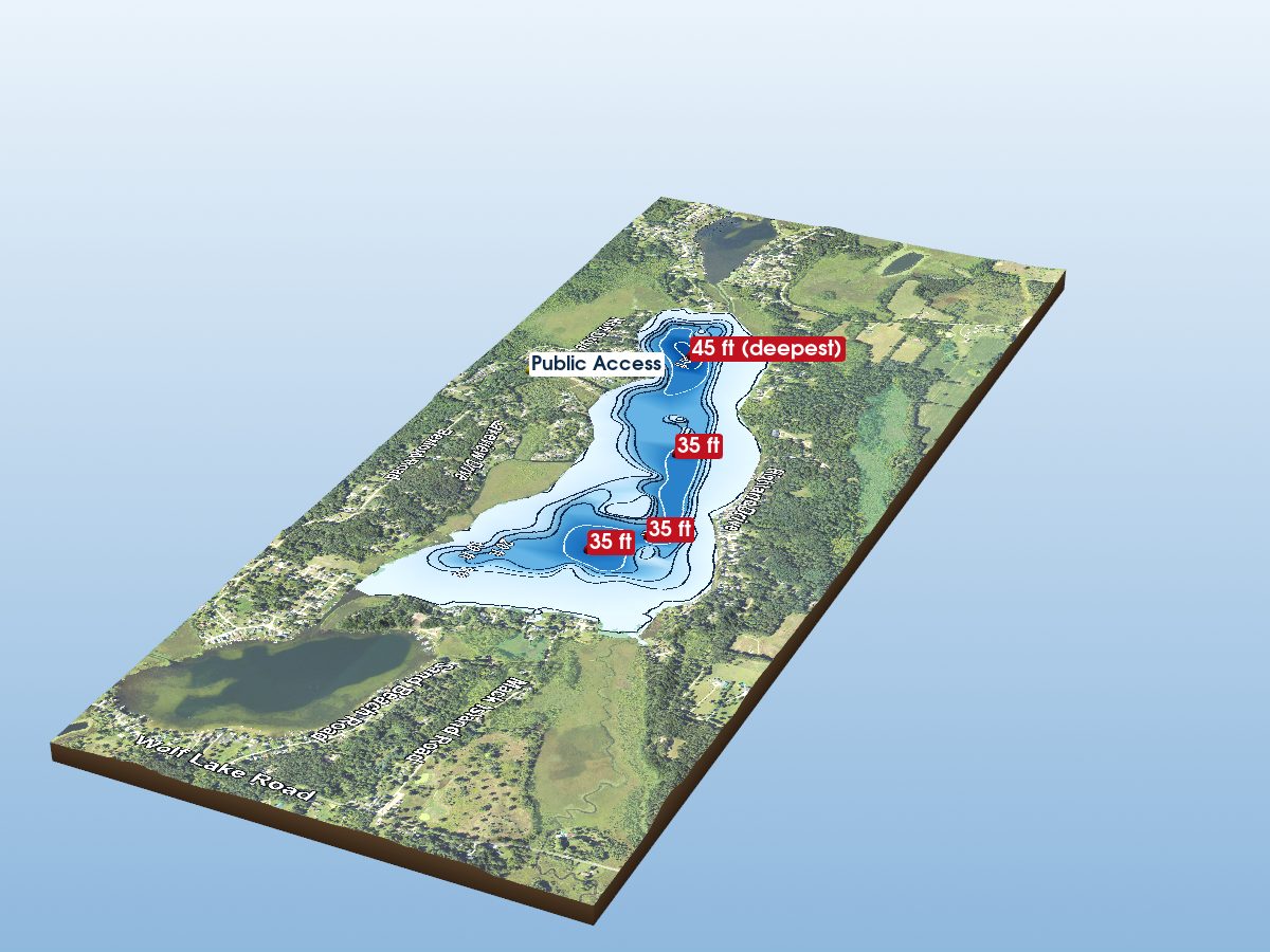
Wolf Lake
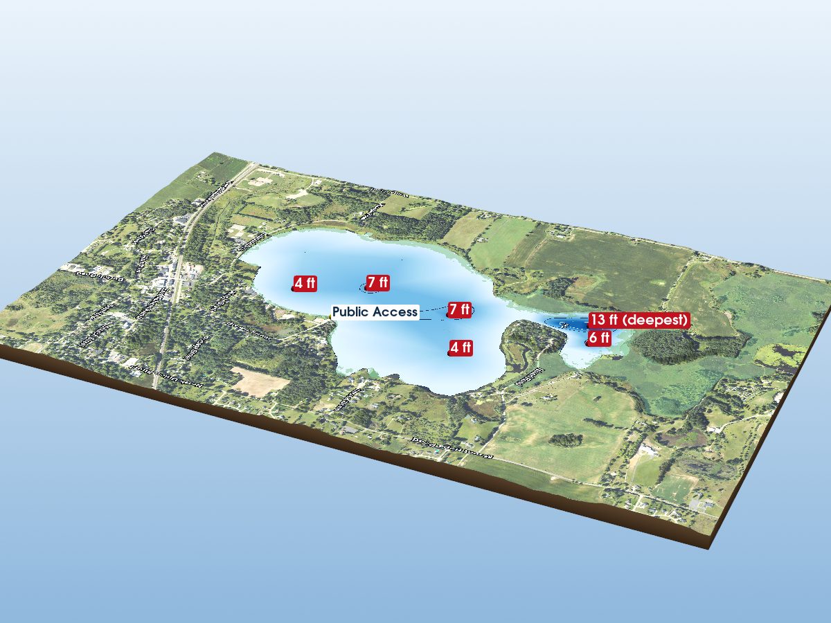
Grass Lake
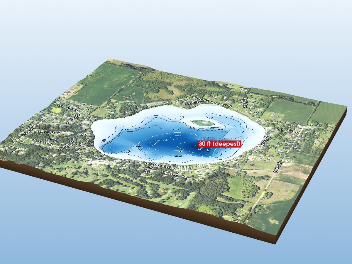
Pleasant Lake
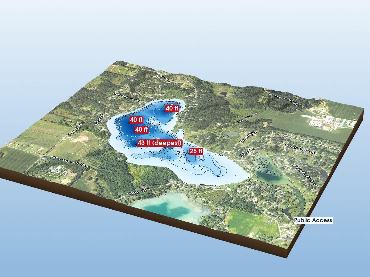
Farewell Lake
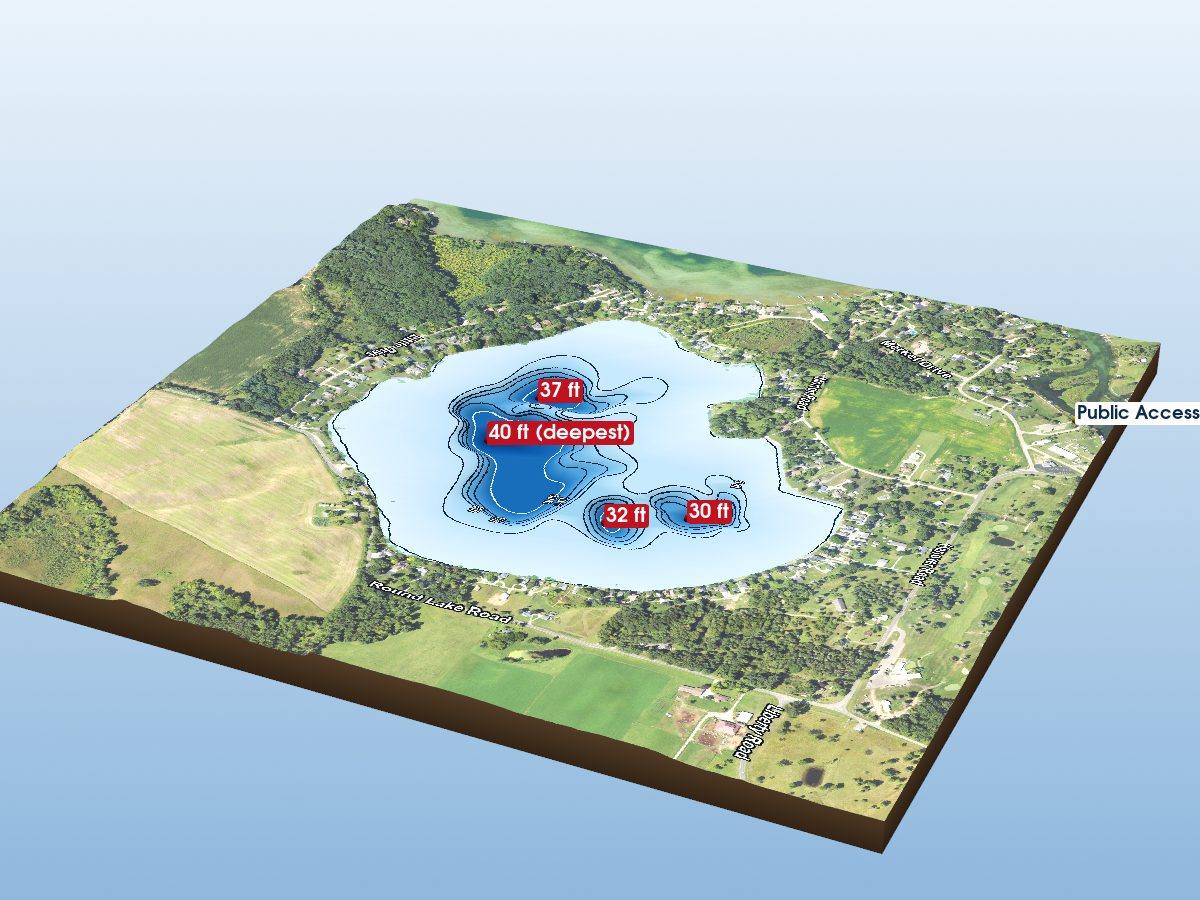
Round Lake
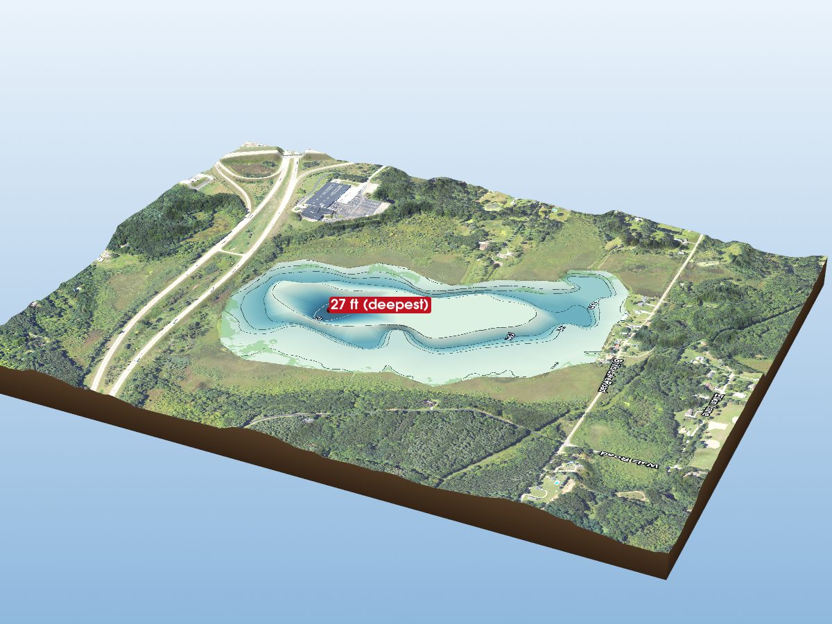
Brill Lake
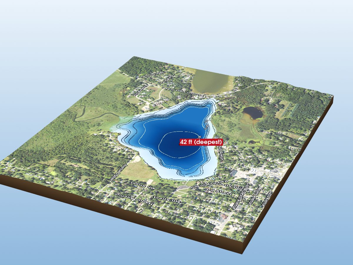
Vandercook Lake
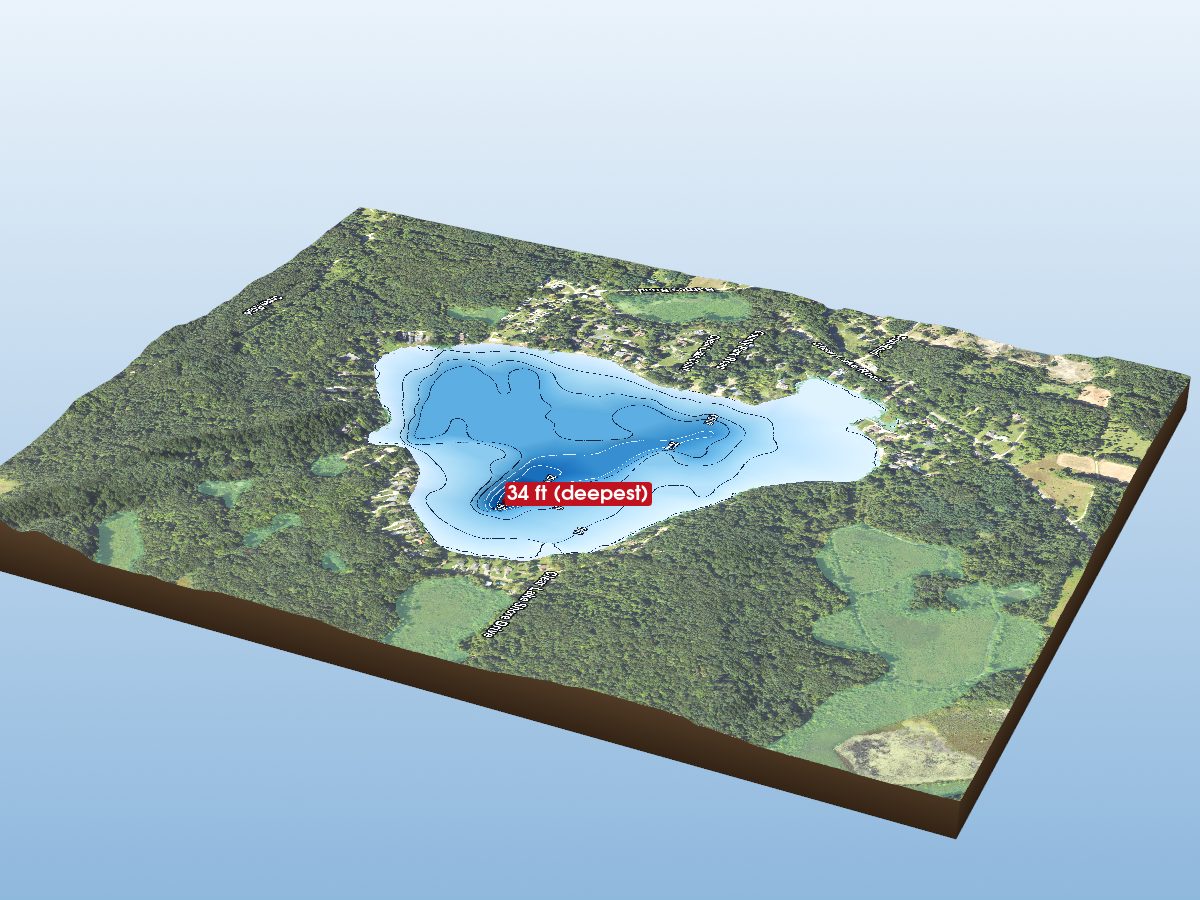
Clear Lake
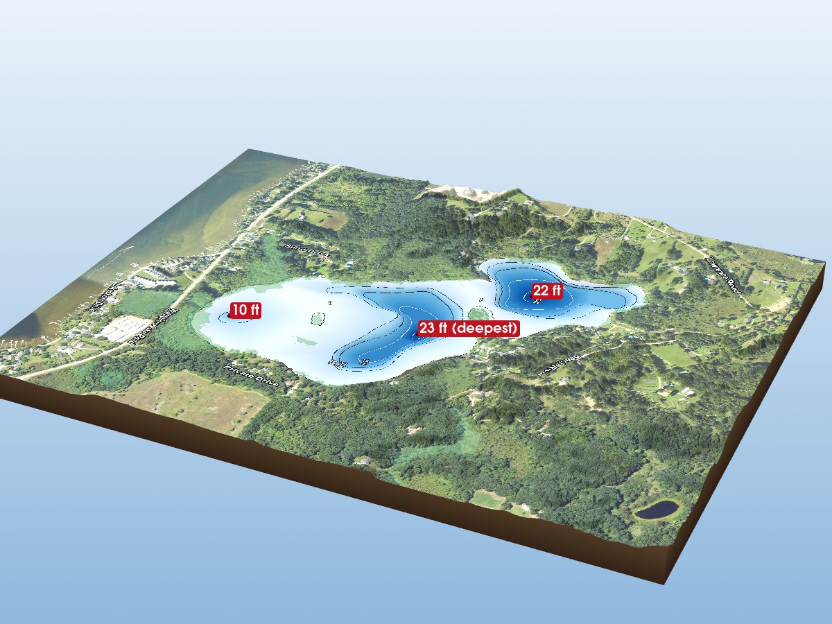
Mud Lake
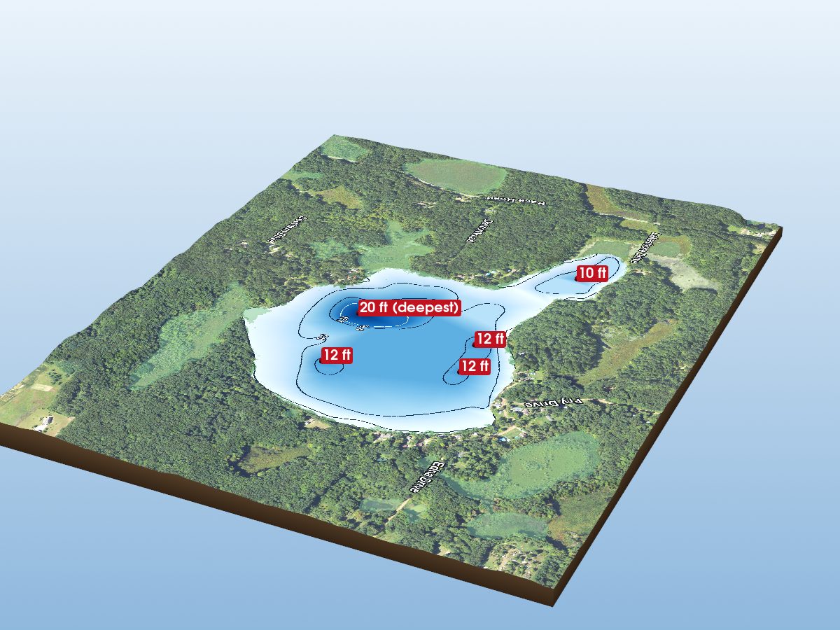
Welch Lake
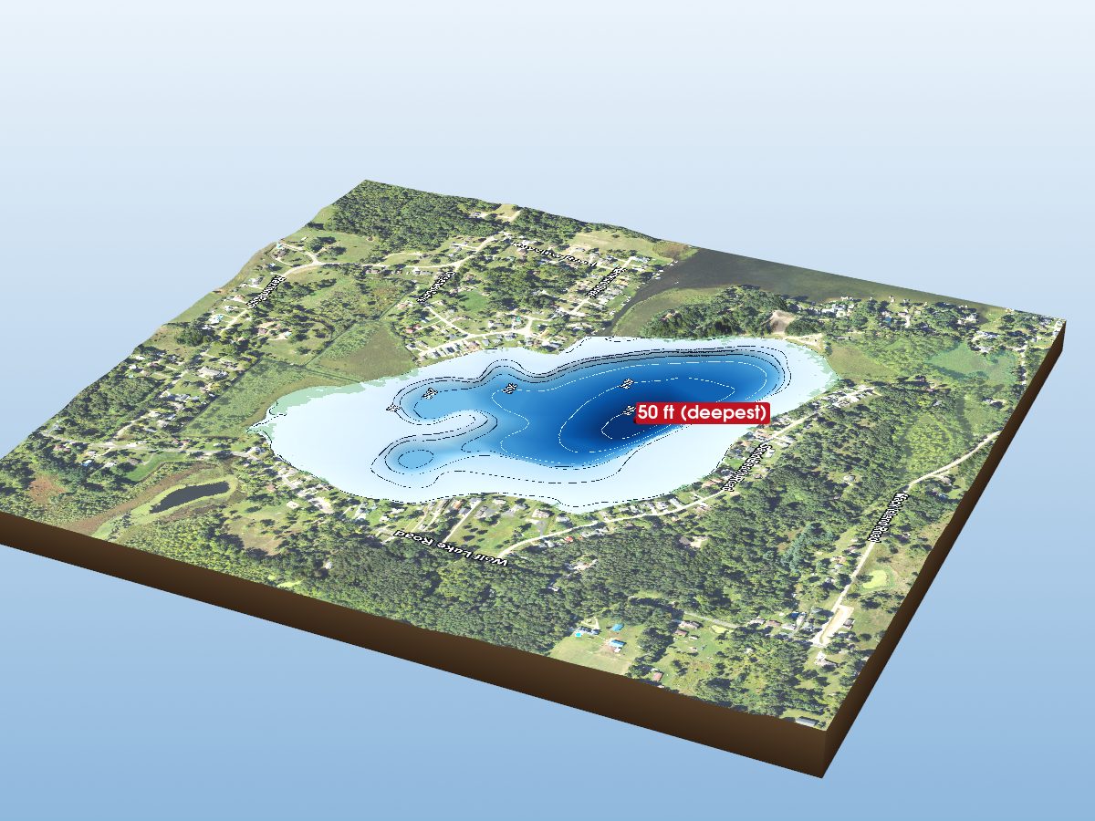
Little Wolf Lake
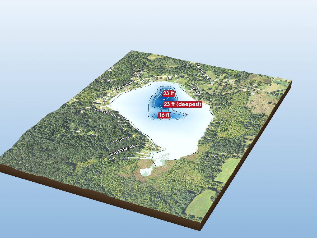
Swezzey Lake
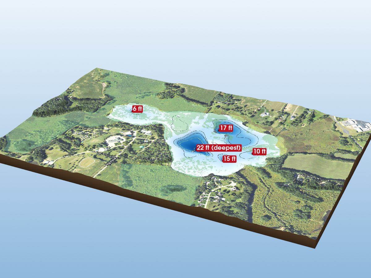
Tims Lake
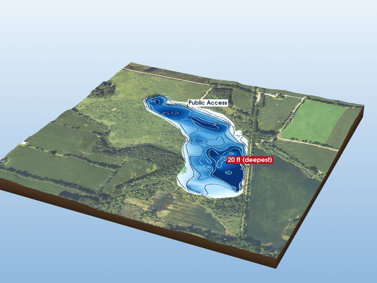
Lime Lake
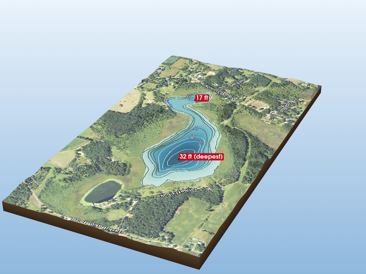
Cranberry Lake
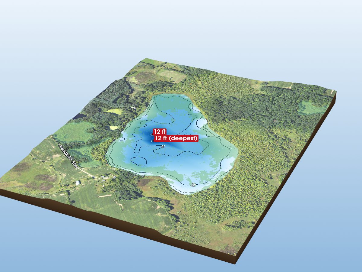
Markla Lake
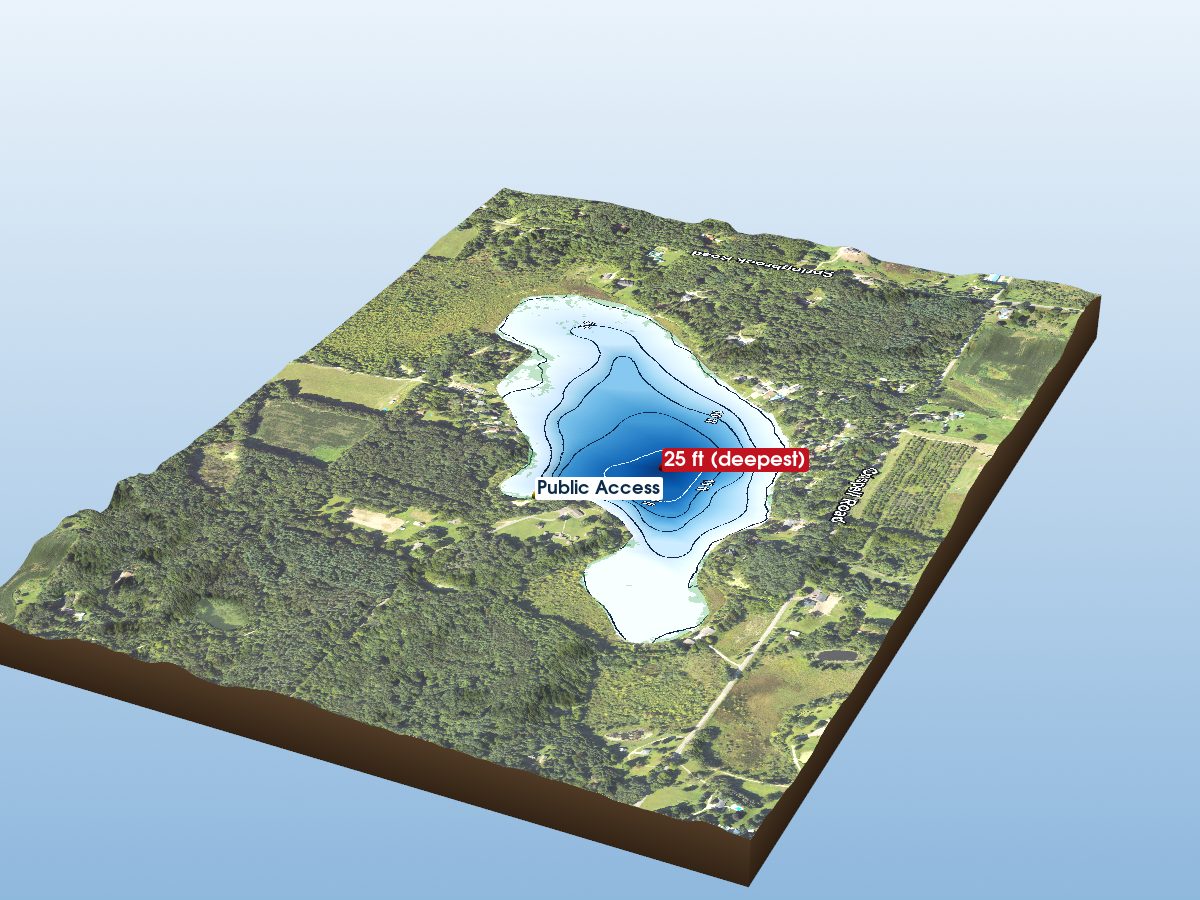
Crispell Lake
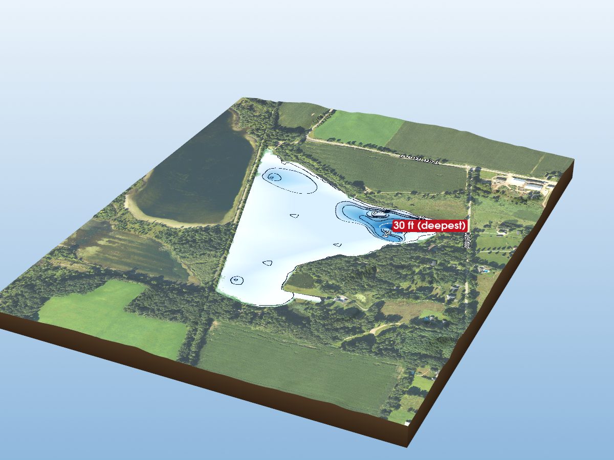
part of Lime L.
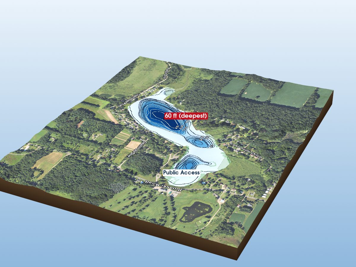
Swains Lake
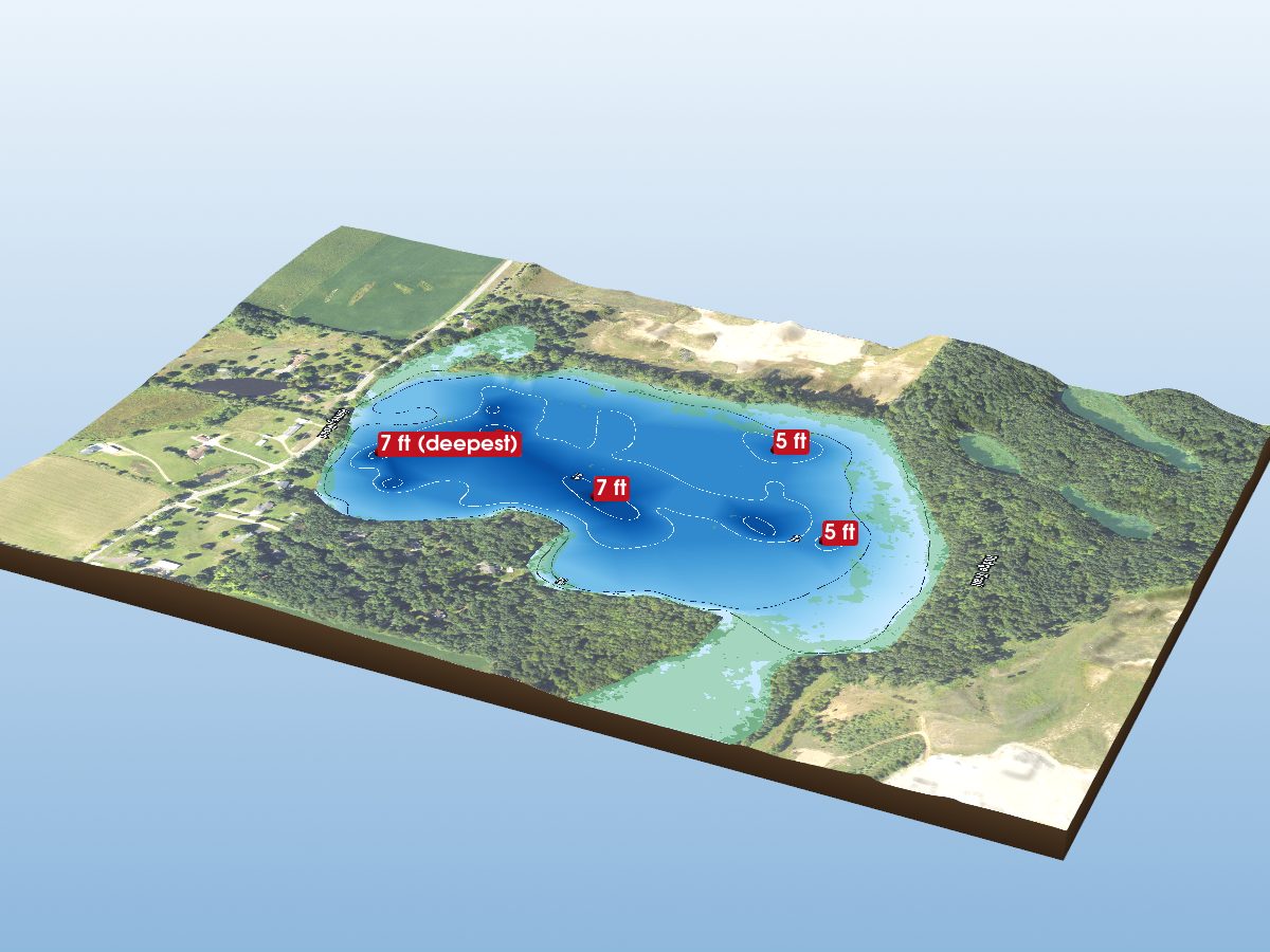
Pond Lily Lake
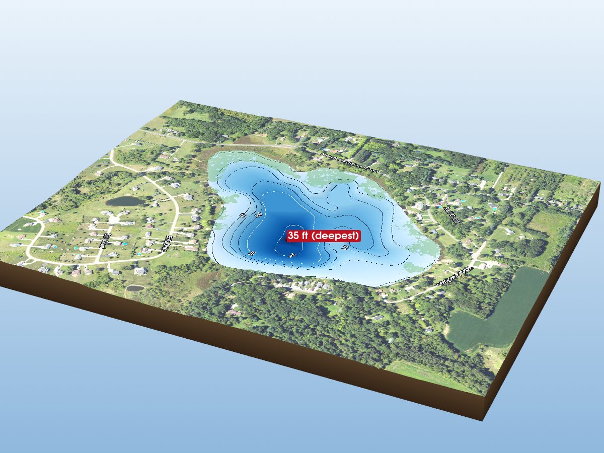
White Lake
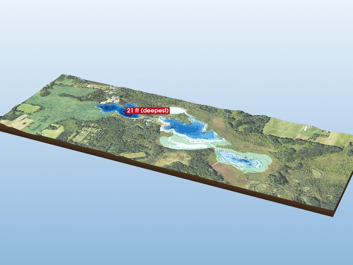
Freymuth Lak
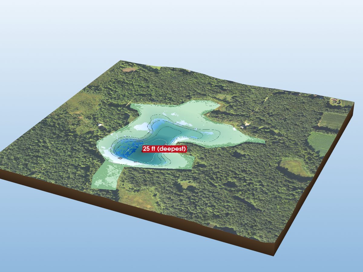
Horseshoe Lake
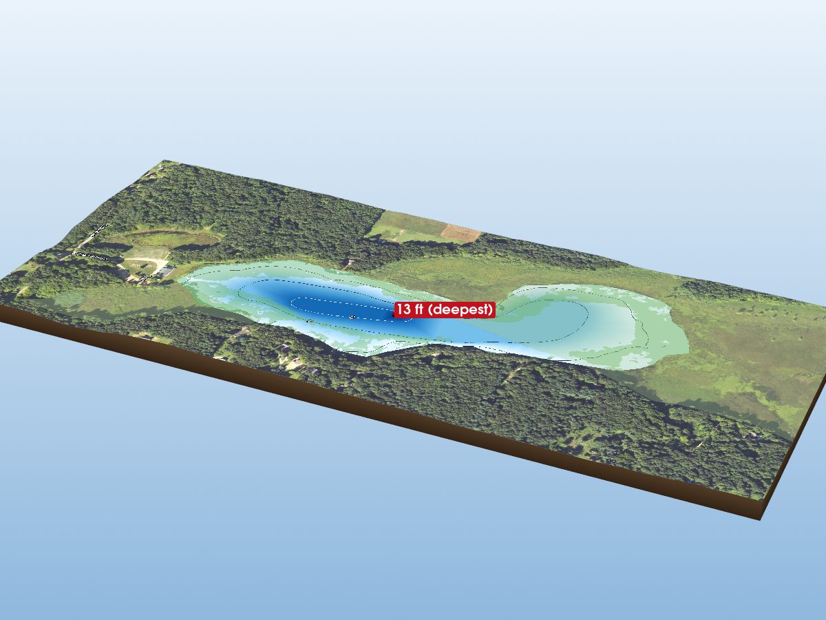
Wilbur Lake
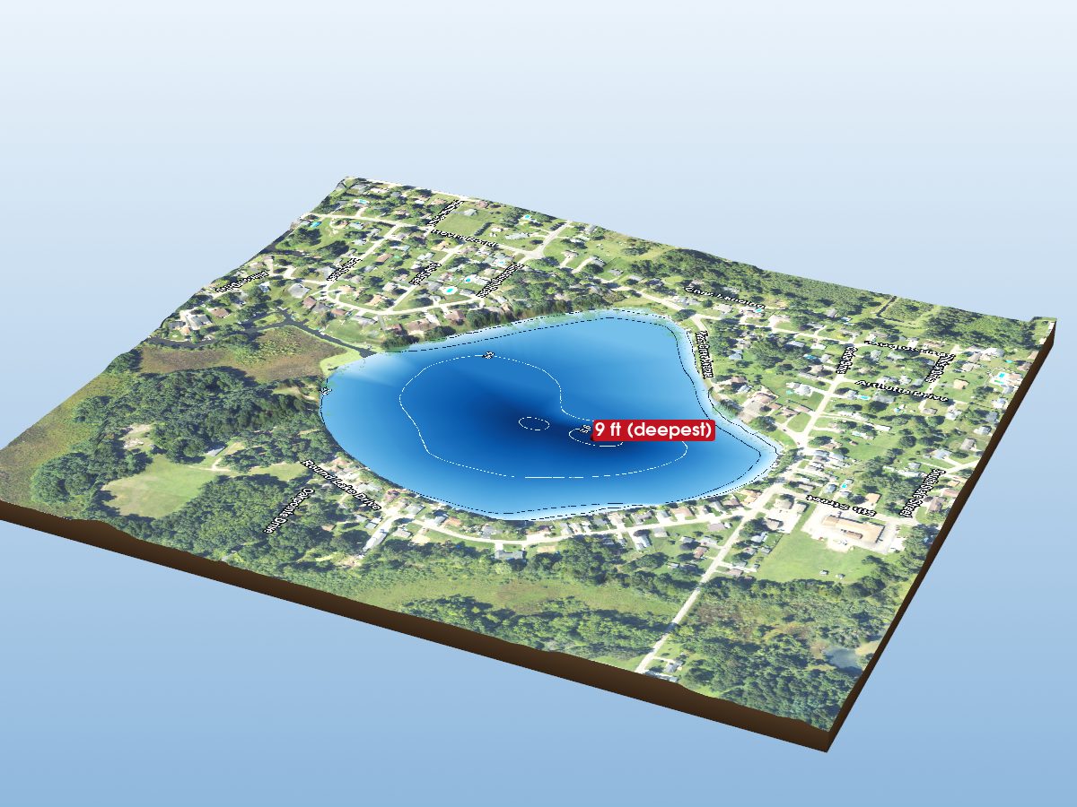
Round Lake
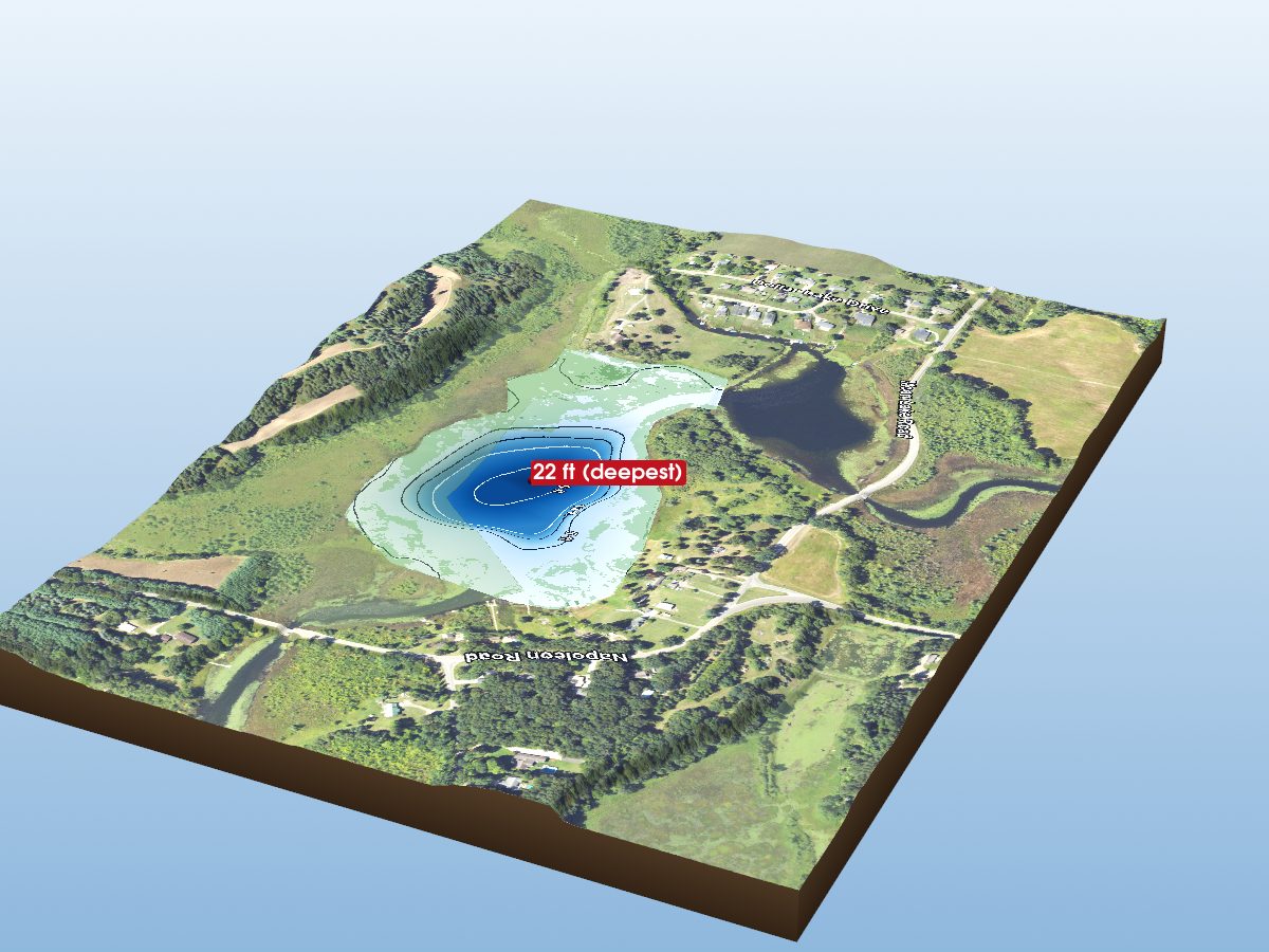
Little Olcott Lake
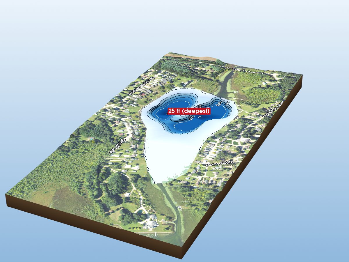
Olcott Lake
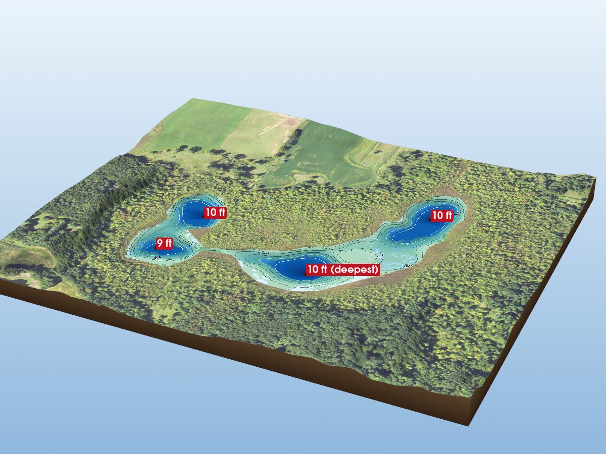
Bartig Lake
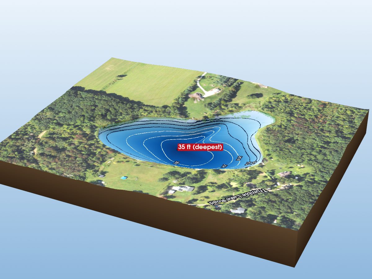
Trumbull Lake
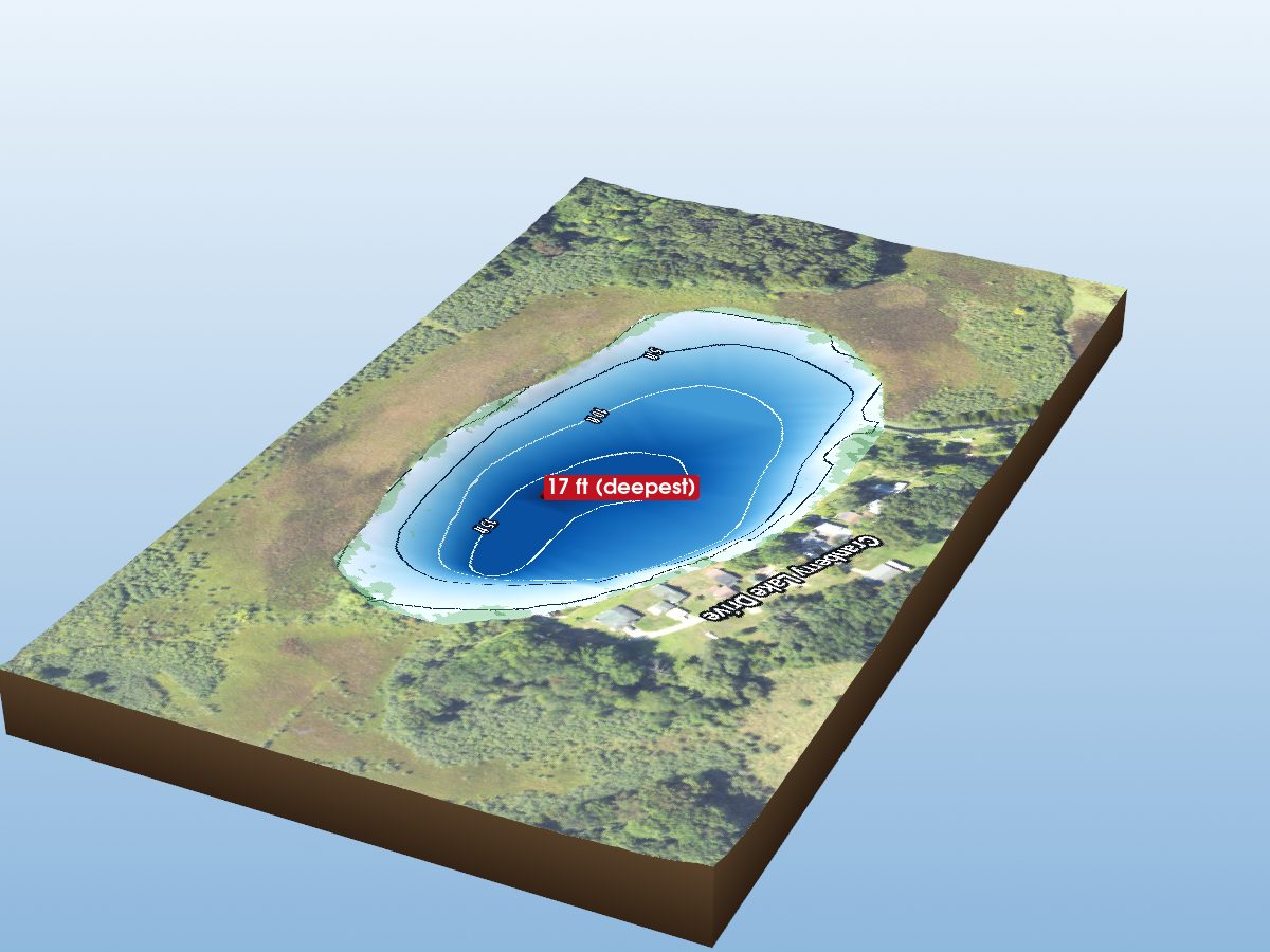
Cranberry Lake
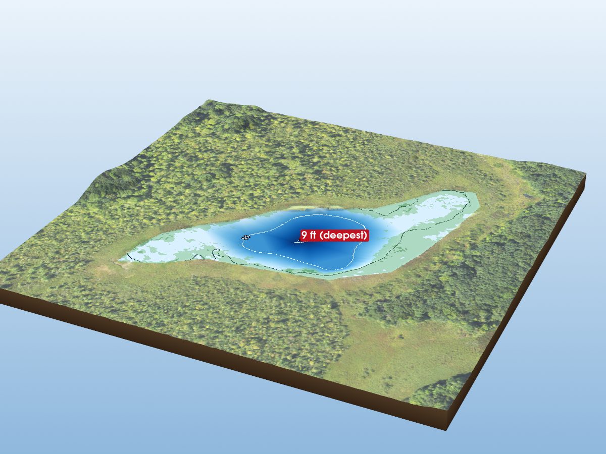
Leeke Lake