Crawford Lake
depth
Get directions
Depth scale
Survey readout
Crawford Lake is mapped to a depth of 10 ft on the Michigan DNR survey and covers about 31 acres in Kent County, Michigan.
Measured from the Michigan DNR inland-lake contour survey.
- Deepest mapped contour
- 10 ft
- Mean depth
- 3.1 ft · estimated
- Surface area
- 31 acres
- Estimated volume
- 97 acre-ft · 32M gal
- Shoreline
- 1.11 mi · lobed
- Aquatic vegetation
- 18% of surface · NDVI estimate
- Trophic state
- Mesotrophic · satellite estimate · details
- Public access
- No public DNR launch identified
Additional depth details3 contours
- Contour depths
- 0–10 ft
- Recorded point soundings
- 10 ft
99.4% of the surface sits over water shallower than 10 ft. Depth, area and volume are estimated from the interpolated survey surface — historical reference, not measurement.
Compare with another lakeProvenance
Sources: MI DNR inland lake contours, USGS 3DEP, USDA NAIP (public domain), OpenStreetMap (ODbL), MI DNR Boat Launches.
⚠ Not for navigationSpot an error? Send a correction
Map details & sources5 sources
All layers registered to one bounding box; positions in WGS 84.
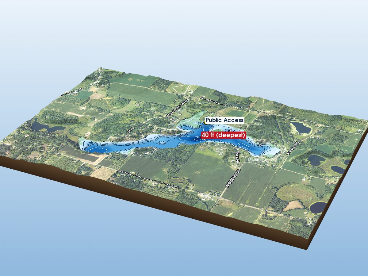
Survey-derived depth contours drape over USGS 3DEP elevation, with a USDA NAIP aerial basemap and OpenStreetMap shoreline. Color shows surveyed depth; dark lines are the survey's own isobaths.
- Coordinates
- 43.18646, -85.39690
- MI DNR lake ID
- L19113
- Vertical exaggeration
- 3.0×
- Basemap
- USDA NAIP · public domain
- Model size
- 2.1 MB
Lake productivity & trophic state
Satellite estimateSatellite-estimated classification: Mesotrophic. Moderate nutrient levels and biological productivity. Based on satellite estimates of summer chlorophyll-a (LAGOS-US LANDSAT, 2020). No lake-specific measurement is available in this dataset.
Trophic state describes how biologically productive a lake is, based on indicators such as nutrients, algae and water clarity. It is not a swimming-safety or overall water-quality rating.
What do the categories mean?
- Oligotrophic≤ 2 µg/L · lower nutrient and algae levels, often clearer water and lower biological productivity.
- Mesotrophic · this lake2–7 µg/L · moderate nutrient levels and biological productivity.
- Eutrophic7–30 µg/L · higher nutrient levels and biological productivity, often with more algae or aquatic plant growth.
- Hypereutrophic> 30 µg/L · very high nutrient levels and biological productivity, with a greater potential for heavy algae growth and low water clarity.
Bands are summer (June–August) mean chlorophyll-a, the green pigment in algae, at the EPA 2012 National Lakes Assessment thresholds. Trophic condition can change over time and by measurement method. Source: Midwest Glacial Lakes Partnership Conservation Planner; satellite chlorophyll-a estimates from LAGOS-US LANDSAT.
Paddling
Paddling Index methodology v1.0 · calculated 2026-09-23Crawford Lake has a mixed natural and developed setting, well sheltered geometry, some nearby classified roads. No special watercraft restriction is identified in the current source.
Why this score?5 components
Included in the index
| Component | Rating | Points of weight | Measurement |
|---|---|---|---|
| Natural setting | Mixed | 14.4 of 35 | 58% natural land cover within 150 m of shore (39% forest, 18% wetland; 40% developed) |
| Geometric wind exposure | Excellent | 29.1 of 29 | mean fetch 474 m · 58% of sampled water within 500 m of shelter · short fetch in most directions |
| Watercraft controls | None identified | 8.8 of 18 | No special watercraft restriction identified in the current DNR source. Motors permitted, subject to general law. |
| Public access | Not listed | — | No DNR-listed access site. Township, county and road-end launches are not in this source, so this is not evidence that access is poor — the component is excluded and the remaining weights are renormalized. |
| Road isolation | Good | 9.9 of 18 | some nearby classified roads · 7 MDOT-classified segments within 1.2 km, peak 17,839 vehicles/day |
Additional paddling considerations
These describe the lake but are not part of the v1 Paddling Index and do not change the number above.
- Wake sensitivity
- Moderate — narrow in places — wakes would carry across parts of the lake
- Aquatic vegetation
- Moderate — approximately 18% mapped coverage · NAIP aerial imagery (NDVI)
- Observed motorized activity
- Unknown — No lake-level measurement of boat traffic is available. Legal permission to operate motors is not evidence of use.
- Wildlife habitat potential
- Moderate — 39% forest and 18% wetland cover within 150 m of shore
Compare Michigan lakes by Paddling Index →
Non-native species records
1 recordOther invertebrates

How to identify invasive species in Michigan lakes →
What does non-native mean?
USGS records identify non-native species that have been documented for this lake or its shoreline. Non-native does not necessarily mean invasive, and historical records do not confirm current presence.
Source: Midwest Glacial Lakes Partnership Conservation Planner; underlying nonindigenous species records from the USGS Nonindigenous Aquatic Species database.
Bait & tackle nearby
licensed retail bait dealers · straight-line distanceCrawford Lake — common questions
How deep is Crawford Lake?
The deepest contour on the Michigan DNR bathymetric survey of Crawford Lake is 10 ft. That is the deepest depth the historical survey map records, which may differ from the deepest point of the lake itself.
How big is Crawford Lake?
Crawford Lake covers about 31 acres in Kent County, Michigan.
What is the average depth of Crawford Lake?
The estimated mean depth of Crawford Lake is 3.1 ft, calculated from the survey contours.
Is there public access to Crawford Lake?
No public launch for Crawford Lake appears in the Michigan DNR access data. That is not the same as the lake being private -- municipal and private ramps are not in that source.